2020s Maps of Allardt, Tennessee
Explore 4 historic maps of Allardt from the 2020s. These maps offer a rare glimpse into what life looked like during the 2020s — showing old roads, neighborhoods, homes, and landmarks that have changed or disappeared over time.
Whether you're researching your family's past, planning a metal detecting trip, or studying how Allardt's landscape evolved across the 2020s, these high-resolution maps are a powerful tool for exploring the history of this region.
- Focus on a specific era: All maps on this page are from the 2020s, giving you a focused view of this time period.
- See what’s changed: Compare century-old streets, trails, and buildings to today's modern landscape using overlays and satellite layers.
- Research with precision: Use these maps for genealogy, historical research, land use analysis, or educational projects.
- View, download, or print: Maps are fully viewable online in high resolution, and can be downloaded or printed for your own records.
Start exploring Allardt's history through authentic maps from the 2020s. This is your window into the past.
Allardt, TN maps
(4)- 2022 Map of Grimsley, 2022 Print
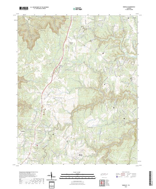 2022 Grimsley2022 Print · USGSFentress County's rural uplands and plateau gorges come into focus in this contemporary survey of the communities south of Jamestown. Genealogists and historians can trace local family landmarks through sites like the Roanoke United Methodist Church Cem, Tench Cem, and Banner Springs.
 - 2022 Map of Jamestown, 2022 Print
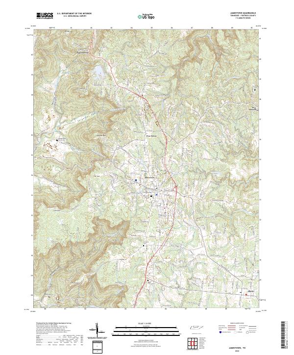 2022 Jamestown2022 Print · USGSJamestown and the surrounding Fentress County plateau are shown in fine detail during the early 2020s. Genealogists and local historians can trace family locations through numerous sites like Livingston Cemetery, the George Wood Family Cem, and landmarks such as The Temple.
 - 2022 Map of Burrville, 2022 Print
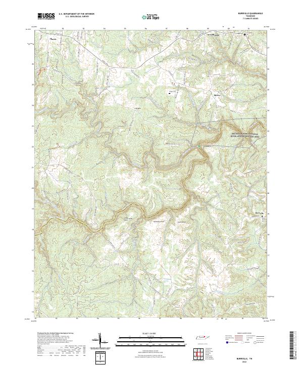 2022 Burrville2022 Print · USGSThe Cumberland Plateau in Fentress and Morgan counties is shown here as a landscape of deep river forks and high ridges. Genealogists can trace family locations near Burrville and Allardt, or locate burial sites like Fellowship Cem and Mount Vernon Cem.
 - 2022 Map of Stockton, 2022 Print
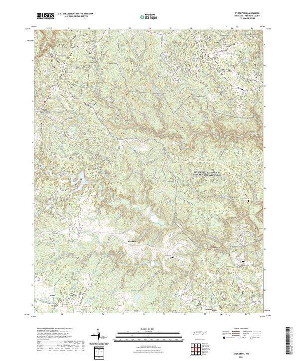 2022 Stockton2022 Print · USGSFentress County's rugged plateau country is shown here in the 2020s, dominated by the transition from rural settlements to protected wilderness. Local historians can trace family roots through numerous upland burial sites like Royalston Cem and Thompkin Cem or locate old crossings near The Narrows.
End of results
Showing maps 1-4 of 4
Top cities near Allardt
Frequently asked questions
- What are the different types of historical maps available for Allardt?
- What is the oldest map of Allardt?
- Where can I purchase historical maps of Allardt for my home or office?
- Where can I download high-res historical maps of Allardt?
- Are there historical topographic maps available for Allardt?
- Is there historical aerial imagery available for Allardt?
- Where are historical maps of Allardt sourced from?