Old Maps of Allardt, Tennessee for Genealogy
Trace your family roots with 29 historic maps of Allardt. These high-res maps reveal old neighborhoods, homesites, landmarks, and streets — helping you uncover where your ancestors lived and how the area evolved over time.
- Explore historic neighborhoods: Identify where your relatives may have lived in the 1800s or 1900s.
- Compare maps over time: Trace the changes in streets, buildings, and landmarks for multi-generational research.
- Perfect for genealogy & ancestry research: Used by family historians and researchers to map out lineage and migration.
These maps are an incredible resource for exploring your personal connection to Allardt's past.
Allardt, TN maps
(29)- 1895 Map of Wartburg
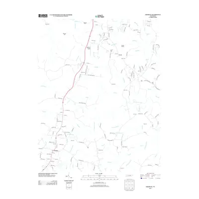
 1895 Wartburg1895 Print · USGSThe Cumberland Plateau of the late nineteenth century comes to life through this record of high-country towns and rivers. Genealogists can trace early homesteads and rail stops from Oneida down to Wartburg, including the distinct colonies at Rugby and Allardt.
 - 1896 Map of Wartburg
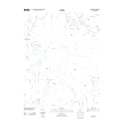
 1896 Wartburg1896 Print · USGSThe Cumberland Plateau in the late nineteenth century is captured here as railroads began to transform the mountain economy. Trace the development of utopian Rugby, the county seat at Wartburg, and remote crossings like Island Ford or Big Lick Gap.6 unique versions available
 - 1954 Map of Stockton, 1955 Print
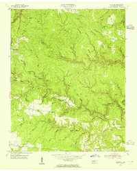 1954 Stockton1955 Print · USGSMid-century Fentress County is captured here in a moment of rural stability before modern development altered the plateau landscape. Genealogists can trace family footprints through the Stockton Sch and numerous burial grounds like Royalston Cem and Christian Cem.6 unique versions available
 - 1954 Map of Burrville, 1955 Print
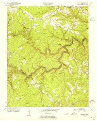 1954 Burrville1955 Print · USGSMid-century Fentress County is defined here by the deep gorge of the Clear Fork and the remote settlements of the plateau. Local historians can locate vanished landmarks like Silver Pine Sch and Gatewood Bridge or trace family roots near Armathwaite.4 unique versions available
 - 1954 Map of Jamestown, 1955 Print
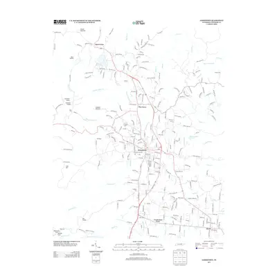
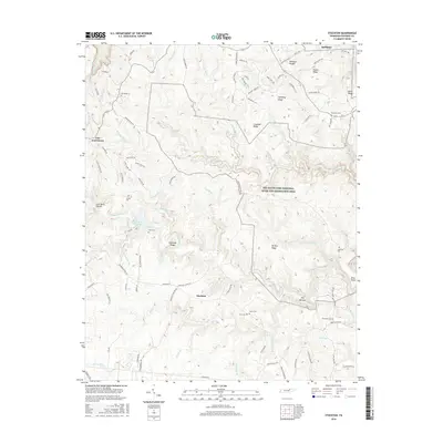
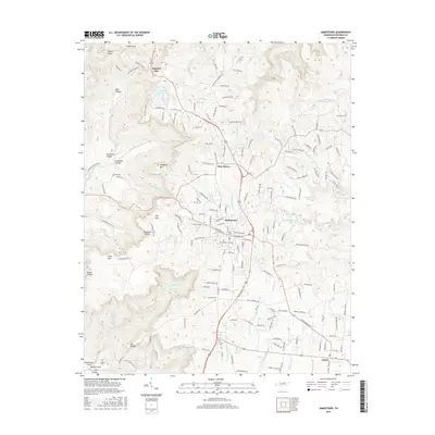
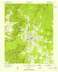 1954 Jamestown1955 Print · USGSJamestown and the surrounding Fentress County plateau are captured here in the mid-fifties, centered on the legacy of the Alvin C York Institute. Genealogists and historians can trace family sites at Crockett Cem, the settlement of Allardt, and local landmarks like the Drive-in Theater.4 unique versions available
 - 1954 Map of Grimsley, 1955 Print
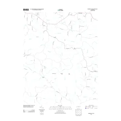
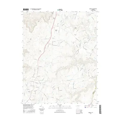
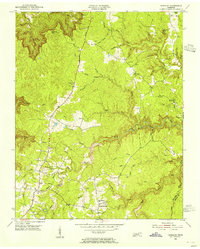 1954 Grimsley1955 Print · USGSMid-century Fentress County is captured here as the Cumberland Plateau plateau communities of Grimsley and Banner Springs centered along the Alvin C York Highway. Researchers can locate numerous family burial grounds and country schools like the Tench Sch and Ward Cem.4 unique versions available
 - 1956 Map of Corbin, 1966 Print
 1956 Corbin1966 Print · USGSThe Kentucky and Tennessee borderlands are captured here in the mid-fifties, showing the region's shift toward modern interstate travel and reservoir development. Genealogists and historians can trace old community lines near Albany and Monticello or locate early rail junctions along the Southern and Tennessee Central lines.3 unique versions available
 - 1958 Map of Corbin
 1958 Corbin1958 Print · USGSThe Upper Cumberland borderlands appear in the late 1950s as massive reservoirs and early atomic-era growth reshape the region. Trace family roots and vanished landmarks near Lake Cumberland, Oak Ridge, and the Cumberland National Forest.
 - 1979 Map of Oakridge, 1980 Print
 1979 Oakridge1980 Print · USGSThe eastern Tennessee highlands are captured here in the late 1970s, showcasing a landscape of coal mining and mountain conservation. Genealogists and researchers can locate family landmarks such as Potter Cem, Sunbright Sch, and the historic settlement of Rugby.
 - 2010 Map of Grimsley, 2010 Print
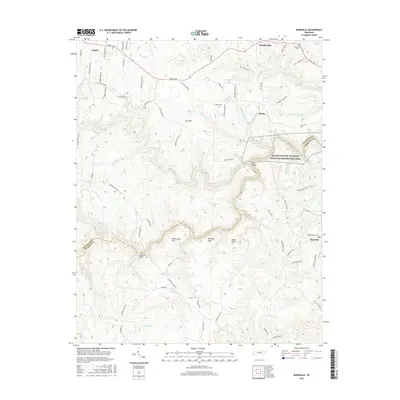
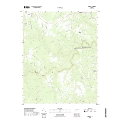
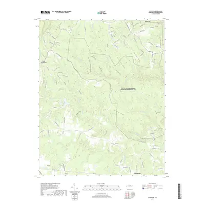
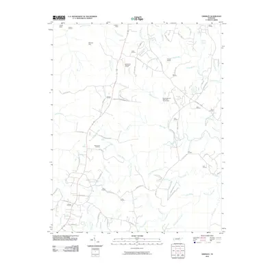 2010 Grimsley2010 Print · USGSCovers Allardt, including Tench, Grimsley, and other nearby areas
 - 2010 Map of Burrville, 2010 Print
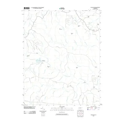
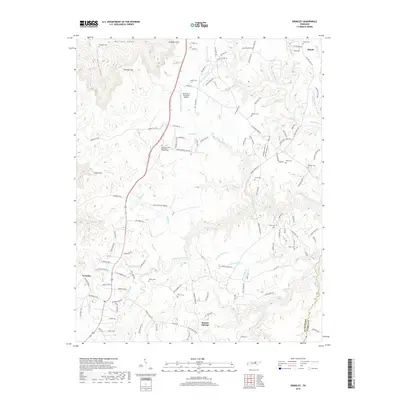
 2010 Burrville2010 Print · USGSCovers Allardt, including Shirley, Armathwaite, and other nearby areas
 - 2010 Map of Jamestown, 2010 Print
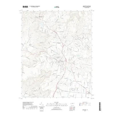
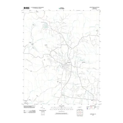 2010 Jamestown2010 Print · USGSCovers Allardt, including Jamestown, Squirrel Flat, and other nearby areas
 - 2010 Map of Stockton, 2010 Print
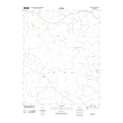
 2010 Stockton2010 Print · USGSCovers Allardt, including Stockton, East Jamestown, and other nearby areas
 - 2013 Map of Jamestown, 2013 Print
 2013 Jamestown2013 Print · USGSCovers Allardt, including Jamestown, Squirrel Flat, and other nearby areas
 - 2013 Map of Grimsley, 2013 Print
 2013 Grimsley2013 Print · USGSCovers Allardt, including Tench, Grimsley, and other nearby areas
 - 2013 Map of Burrville, 2013 Print
 2013 Burrville2013 Print · USGSCovers Allardt, including Shirley, Armathwaite, and other nearby areas
 - 2013 Map of Stockton, 2013 Print
 2013 Stockton2013 Print · USGSCovers Allardt, including Stockton, East Jamestown, and other nearby areas
 - 2016 Map of Burrville, 2016 Print
 2016 Burrville2016 Print · USGSCovers Allardt, including Shirley, Armathwaite, and other nearby areas
 - 2016 Map of Stockton, 2016 Print
 2016 Stockton2016 Print · USGSCovers Allardt, including Stockton, East Jamestown, and other nearby areas
 - 2016 Map of Grimsley, 2016 Print
 2016 Grimsley2016 Print · USGSCovers Allardt, including Tench, Grimsley, and other nearby areas
 - 2016 Map of Jamestown, 2016 Print
 2016 Jamestown2016 Print · USGSCovers Allardt, including Jamestown, Squirrel Flat, and other nearby areas
 - 2019 Map of Burrville, 2019 Print
 2019 Burrville2019 Print · USGSCovers Allardt, including Shirley, Armathwaite, and other nearby areas
 - 2019 Map of Grimsley, 2019 Print
 2019 Grimsley2019 Print · USGSCovers Allardt, including Tench, Grimsley, and other nearby areas
 - 2019 Map of Jamestown, 2019 Print
 2019 Jamestown2019 Print · USGSCovers Allardt, including Jamestown, Squirrel Flat, and other nearby areas
 - 2019 Map of Stockton, 2019 Print
 2019 Stockton2019 Print · USGSCovers Allardt, including Stockton, East Jamestown, and other nearby areas
Showing maps 1-25 of 29
Top cities near Allardt
Frequently asked questions
- What are the different types of historical maps available for Allardt?
- What is the oldest map of Allardt?
- Where can I purchase historical maps of Allardt for my home or office?
- Where can I download high-res historical maps of Allardt?
- Are there historical topographic maps available for Allardt?
- Is there historical aerial imagery available for Allardt?
- Where are historical maps of Allardt sourced from?