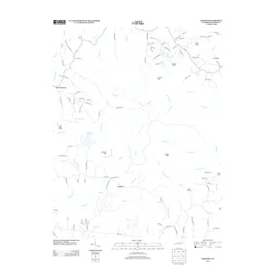
2013 Map of Stockton
USGS Topo · Published 2013About this map
Stockton and East Jamestown anchor this portion of Fentress County, where the plateau landscape is defined by a complex network of ridges and narrow creek valleys. The drainage patterns of Laurel Fork and Hatfield Creek carve through the terrain, separated by prominent landforms like McKinley Ridge and Crockett Ridge. The local geography reveals an era of established rural connectivity, with numerous family and community landmarks such as Stockton Chapel Road and Copley Cemetery Road branching off the primary routes.
Find a feature on this map
112 named features on this map. Tap any name to fly to it.
Don’t see what you’re looking for? This feature index may not catch every label — zoom into the map to look around manually.
Map Details
Editions of this 2013 Stockton Map
This is the sole edition of this map. No revisions or reprints were ever made.
Other maps of this area

1895 · Wartburg
USGS Topo · 1:125,000

1896 · Wartburg
USGS Topo · 1:125,000

1934 · Barthell
USGS Topo · 1:62,500

1934 · Pall Mall
USGS Topo · 1:62,500

1952 · Honey Creek
USGS Topo · 1:24,000

1952 · Rugby
USGS Topo · 1:24,000

1954 · Stockton
USGS Topo · 1:24,000

1954 · Burrville
USGS Topo · 1:24,000

1954 · Jamestown
USGS Topo · 1:24,000

1954 · Grimsley
USGS Topo · 1:24,000