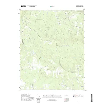
2019 Map of Stockton
USGS Topo · Published 2019About this map
Stockton sits at the heart of this Fentress County landscape, surrounded by a complex network of ridges and deep-cut stream valleys. The rugged geography is defined by prominent features like McKinley Ridge and Tar Kiln Ridge, which separate the various forks and branches of the local drainage system. To the east, the Big South Fork National River and Recreation Area encompasses a significant portion of the territory, including unique geological formations such as The Narrows.
Find a feature on this map
125 named features on this map. Tap any name to fly to it.
Don’t see what you’re looking for? This feature index may not catch every label — zoom into the map to look around manually.
Map Details
Editions of this 2019 Stockton Map
This is the sole edition of this map. No revisions or reprints were ever made.
Other maps of this area

1895 · Wartburg
USGS Topo · 1:125,000

1896 · Wartburg
USGS Topo · 1:125,000

1934 · Barthell
USGS Topo · 1:62,500

1934 · Pall Mall
USGS Topo · 1:62,500

1952 · Honey Creek
USGS Topo · 1:24,000

1952 · Rugby
USGS Topo · 1:24,000

1954 · Stockton
USGS Topo · 1:24,000

1954 · Burrville
USGS Topo · 1:24,000

1954 · Jamestown
USGS Topo · 1:24,000

1954 · Grimsley
USGS Topo · 1:24,000