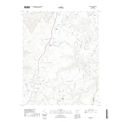
2019 Map of Grimsley
USGS Topo · Published 2019About this map
Grimsley and Banner Springs anchor this portion of the Cumberland Plateau in Fentress County, where the landscape is defined by the deeply incised drainage basins of the S Prong Clear Fork and N Prong Clear Fork. The rural character of the area is evident in the high density of small family and community burial grounds, including the Roanoke United Methodist Church Cem, Stephens Cem, and Norris Cem. These sites, scattered across the plateau between the forks of the river, offer significant value for genealogists tracing local families.
Find a feature on this map
144 named features on this map. Tap any name to fly to it.
Don’t see what you’re looking for? This feature index may not catch every label — zoom into the map to look around manually.
Map Details
Editions of this 2019 Grimsley Map
This is the sole edition of this map. No revisions or reprints were ever made.
Other maps of this area

1895 · Wartburg
USGS Topo · 1:125,000

1896 · Wartburg
USGS Topo · 1:125,000

1897 · Standingstone
USGS Topo · 1:125,000

1898 · Standingstone
USGS Topo · 1:125,000

1935 · Clarkrange
USGS Topo · 1:24,000

1936 · Twin Bridges
USGS Topo · 1:24,000

1936 · Jones Knob
USGS Topo · 1:24,000

1943 · Twin Bridges
USGS Topo · 1:24,000
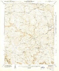
1945 · Twin Bridges
USGS Topo · 1:24,000

1946 · Clarkrange
USGS Topo · 1:24,000