Old Maps of Ardmore, Tennessee for Academic Research
Study the evolution of Ardmore with 41 high-resolution historic maps. Whether you're teaching, researching, or modeling changes in land use, these maps provide essential visual documentation of urban, environmental, and geographic change.
- Analyze long-term change: Track patterns in development, transportation, and natural features.
- Ideal for environmental or urban studies: Support academic projects with primary historical map data.
- Use in the classroom or lab: Educators and researchers rely on these maps to bring historical context to life.
These maps are a powerful tool for teaching, research, and visualizing how Ardmore has changed over the decades.
Ardmore, TN maps
(41)- 1888 Map of Huntsville
 1888 Huntsville1888 Print · USGSMadison and Limestone counties in the late 1880s showcase a landscape defined by the Tennessee River and major early rail lines. Researchers can trace the layout of Huntsville or locate long-standing communities like Mooresville and Thompsons Mill.
 - 1892 Map of Huntsville
 1892 Huntsville1892 Print · USGSNorth Alabama was a landscape of river ferries and rising rail hubs in the 1890s, caught here just as the region's industry began to modernize. Researchers can locate vanished landmarks like the Monte Sano Hotel and trace old family-named sites from Thompsons Mill to Lemans Ferry.6 unique versions available
 - 1936 Map of Elkmont
 1936 Elkmont1936 Print · USGSThe Tennessee-Alabama borderlands come into focus in the mid-1930s, showing a landscape defined by the Louisville and Nashville rail line and rural industry. Genealogists can locate family landmarks like Hays Mill, Holland Gin, and old burial grounds including New Garden Cem.
 - 1936 Map of Ardmore
 1936 Ardmore1936 Print · USGSThe Alabama-Tennessee borderlands appear here in the mid-1930s, showing the early growth of ARDMORE along the LOUISVILLE AND NASHVILLE railroad. Genealogists can trace family landmarks like Hatchett Cem and rural school sites such as Wooley Springs Sch.
 - 1936 Map of Elkton
 1936 Elkton1936 Print · USGSElkton and the Elk River valley are captured here in the mid-1930s during a period of transition. Genealogists can trace family landmarks like Conway School, the Bethany Cemetery, and early industry at the Vinta Mill.
 - 1936 Map of Dellrose
 1936 Dellrose1936 Print · USGSSouthern Tennessee at the height of the mid-1930s reveals a rural landscape shaped by the ELK RIVER and the LOUISVILLE AND NASHVILLE railroad. Genealogists can locate family landmarks like STONE CEM or Hamiltons Mill and trace the rail line through the unique LUDA TUNNEL.
 - 1948 Map of Dellrose, 1982 Print
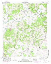 1948 Dellrose1982 Print · USGSLincoln and Giles counties were defined by the winding Elk River and the Louisville and Nashville railroad in the late 1940s. Genealogists and historians can trace family roots through numerous landmarks like Washington Temple, Hamilton Mill, and Young Cem.
 - 1948 Map of Elkton, 1982 Print
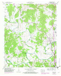 1948 Elkton1982 Print · USGSGiles County settlements and river bends are captured here in the late 1940s as the regional road network expanded. Researchers can locate family landmarks such as Morrell Mill, Antioch Ch, and the numerous cemeteries including Potts Cem and Kelly Cem.
 - 1951 Map of Elkton
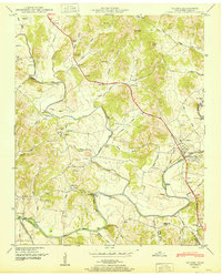 1951 Elkton1951 Print · USGSGiles County in the early fifties is captured here at a time when the Elk River and local rail lines dictated the pace of life. Researchers can trace the legacy of rural communities through sites like Vinta Mill, Ephesus Church, and Aspen Hill.2 unique versions available
 - 1951 Map of Dellrose
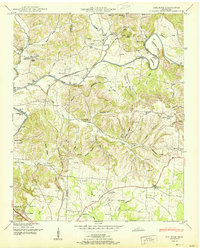 1951 Dellrose1951 Print · USGSThe Elk River valley on the Giles and Lincoln county line is shown here in the early fifties, just as the rural river-and-rail economy remained intact. Trace local family roots at Hamilton Mill, the Stone Bluff Bridge, or old church sites like Washington Temple.3 unique versions available
 - 1956 Map of Columbia, 1960 Print
 1956 Columbia1960 Print · USGSMiddle Tennessee in the mid-fifties presents a landscape of established river towns and critical rail hubs before the arrival of the modern interstate system. Researchers can trace the routes of the Louisville and Nashville railroad or locate historic landmarks like Stones River National Military Park and the Tennessee National Wildlife Refuge.6 unique versions available
 - 1956 Map of Gadsden, 1966 Print
 1956 Gadsden1966 Print · USGSNorth Alabama in the mid-1950s shows a region transformed by river engineering and federal industry. Genealogists and local historians can trace the development of the Tennessee Valley through the growth of Huntsville, the sprawling Redstone Arsenal, and the expansive Guntersville Lake.3 unique versions available
 - 1958 Map of Gadsden
 1958 Gadsden1958 Print · USGSNorth Alabama comes alive in the late 1950s as the Tennessee Valley Authority’s massive river projects and the rise of the space industry reshaped the landscape. Researchers can trace the mid-century footprints of Huntsville, Redstone Arsenal, and the riverside rail networks of the Southern railroad.
 - 1958 Map of Elkmont, 1959 Print
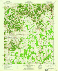 1958 Elkmont1959 Print · USGSLimestone County and the Tennessee borderlands are captured here in the late fifties, showcasing a landscape of rail-stop towns and rural agriculture. Genealogists can trace family names at the Antioch Cem or Robinson Cem, while historians can locate the old Holland Gin and Woodin Mill.2 unique versions available
 - 1958 Map of Ardmore, 1959 Print
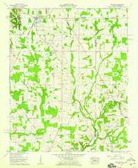 1958 Ardmore1959 Print · USGSArdmore and the surrounding borderlands of Alabama and Tennessee appear here during the late fifties as a network of rail-side settlements and rural parishes. Genealogists can trace family landmarks like the Delap-Clement Cem, Wooley Springs Sch, and New Zion Church.4 unique versions available
 - 1960 Map of Gadsden
 1960 Gadsden1960 Print · USGSNorthern Alabama in the mid-1950s is defined by the mighty Tennessee River and its massive reservoirs. Trace the development of Huntsville and Redstone Arsenal or explore the vast William B Bankhead National Forest.2 unique versions available
 - 1963 Map of Gadsden
 1963 Gadsden1963 Print · USGSNorthern Alabama underwent a dramatic mid-century transformation as the Tennessee Valley became a hub for defense and industry. Researchers can trace the development of the Redstone Arsenal, the route of the Natchez Trace Parkway, and long-standing rail lines like the Southern Railway.
 - 1981 Map of Tullahoma, 1982 Print
 1981 Tullahoma1982 Print · USGSSouthern Tennessee enters the 1980s with a mix of aerospace technology and deep rural roots. Researchers can trace the L & N RR through Shelbyville and Fayetteville or locate family sites like Old Salem Cem and Blanton Chapel near the Cumberland Plateau.
 - 1984 Map of Huntsville, 1986 Print
 1984 Huntsville1986 Print · USGSNorthern Alabama and the Tennessee borderlands are captured in the mid-eighties as Huntsville and the Redstone Arsenal expand. Researchers can trace rural landmarks from Woodlin Mill to the Cumberland Plateau and old rail lines like the Southern.3 unique versions available
 - 2010 Map of Elkmont, 2010 Print
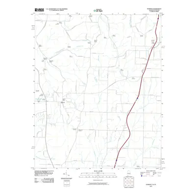 2010 Elkmont2010 Print · USGSElkmont and the surrounding Alabama-Tennessee borderlands appear in this 2010 survey as a landscape of rural homesteads and family cemeteries. Genealogists can locate legacy burial sites like Antioch Cemetery Number One and Scrouge Cemetery, while researchers trace old rail crossings at Holt Trestle.
 - 2010 Map of Ardmore, 2010 Print
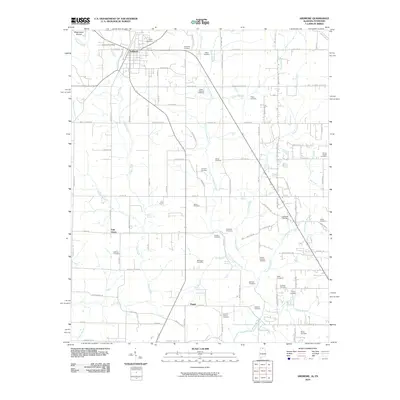 2010 Ardmore2010 Print · USGSArdmore sat at the crossroads of the Alabama-Tennessee border during this era of rural transition. Genealogists can locate dozens of family burial sites like the German Cemetery and Moore Chapel Cemetery, or trace roots near Wooley Spring.
 - 2010 Map of Dellrose, 2010 Print
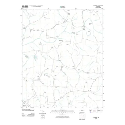 2010 Dellrose2010 Print · USGSSouthern Tennessee's river-carved valleys are captured here in the early twenty-first century, centered on the winding Elk River. Genealogists and local historians can trace family roots through numerous sites like Stone Cemetery, the Luda Tunnel, and the historic Dellrose Post Office.
 - 2010 Map of Elkton, 2010 Print
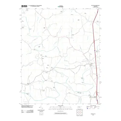 2010 Elkton2010 Print · USGSGiles County, Tennessee, is captured here in the early twenty-first century, showing the rural communities along the Elk River. Genealogists can trace family roots through numerous sites like Aspen Hill Cemetery, Liberty, and the Elliot Cemeteries.
 - 2011 Map of Ardmore, 2011 Print
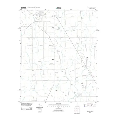 2011 Ardmore2011 Print · USGSThe Alabama-Tennessee borderlands appear here in the early twenty-first century, centered on the growing community of Ardmore. Family historians can trace deep roots through dozens of local burial grounds like Gatlin Cemetery, German Cemetery, and Adams-Crutcher Cemetery.
 - 2011 Map of Elkmont, 2011 Print
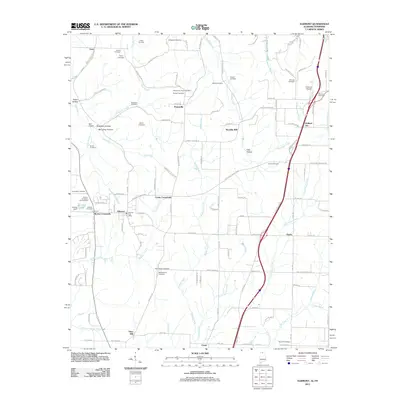 2011 Elkmont2011 Print · USGSNorth Alabama and South Tennessee meet in this 2011 survey, centered on the town of Elkmont and its surrounding rural hamlets. Researchers can trace local lineages through more than a dozen burial sites, from Trotter Cemetery to Reunion Cemetery, while locating landmarks like Holland Gin and the Elkmont Post Office.
Showing maps 1-25 of 41
Top cities near Ardmore
- Huntsville historical maps
- Athens historical maps
- Pulaski historical maps
- Harvest historical maps
- Ardmore historical maps
- Elkton historical maps
See more
Top neighborhoods of Ardmore
Frequently asked questions
- What are the different types of historical maps available for Ardmore?
- What is the oldest map of Ardmore?
- Where can I purchase historical maps of Ardmore for my home or office?
- Where can I download high-res historical maps of Ardmore?
- Are there historical topographic maps available for Ardmore?
- Is there historical aerial imagery available for Ardmore?
- Where are historical maps of Ardmore sourced from?