Old Maps of Krapp Spring, Tennessee for Academic Research
Study the evolution of Krapp Spring with 10 high-resolution historic maps. Whether you're teaching, researching, or modeling changes in land use, these maps provide essential visual documentation of urban, environmental, and geographic change.
- Analyze long-term change: Track patterns in development, transportation, and natural features.
- Ideal for environmental or urban studies: Support academic projects with primary historical map data.
- Use in the classroom or lab: Educators and researchers rely on these maps to bring historical context to life.
These maps are a powerful tool for teaching, research, and visualizing how Krapp Spring has changed over the decades.
Krapp Spring, TN maps
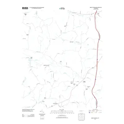
(10)- 1936 Map of Brick Church
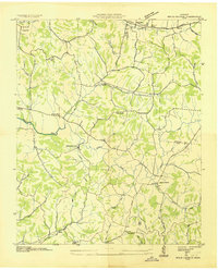 1936 Brick Church1936 Print · USGSGiles and Marshall Counties come into focus during the mid-1930s, showing a rural landscape organized around creek valleys and small community hubs. Researchers can locate family landmarks like the Odd Fellows Hall or trace school locations such as Woodlawn Sch and Fairview Sch.
 - 1946 Map of Brick Church, 1981 Print
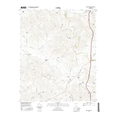
 1946 Brick Church1981 Print · USGSGiles and Marshall Counties are captured here in the mid-1940s, showcasing a landscape of small rural hamlets and deeply established family cemeteries. Researchers can trace the grounds of Odd Fellows Hall, locate family plots at Kincaid Cem, or find the old Taylor Sch.
 - 1949 Map of Brick Church
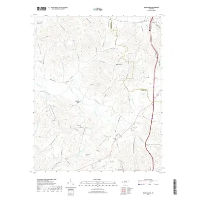
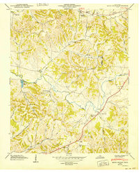 1949 Brick Church1949 Print · USGSGiles and Marshall counties appear here in the late 1940s, showing a rural landscape defined by ridge-and-hollow farming and small schoolhouse districts. Genealogists can trace family names through numerous sites like Lane Cem, Odd Fellows Hall, and New Zion Ch.3 unique versions available
 - 1956 Map of Columbia, 1960 Print
 1956 Columbia1960 Print · USGSMiddle Tennessee in the mid-fifties presents a landscape of established river towns and critical rail hubs before the arrival of the modern interstate system. Researchers can trace the routes of the Louisville and Nashville railroad or locate historic landmarks like Stones River National Military Park and the Tennessee National Wildlife Refuge.6 unique versions available
 - 1981 Map of Tullahoma, 1982 Print
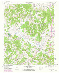
 1981 Tullahoma1982 Print · USGSSouthern Tennessee enters the 1980s with a mix of aerospace technology and deep rural roots. Researchers can trace the L & N RR through Shelbyville and Fayetteville or locate family sites like Old Salem Cem and Blanton Chapel near the Cumberland Plateau.
 - 2010 Map of Brick Church, 2010 Print
 2010 Brick Church2010 Print · USGSCovers Krapp Spring, including Cornersville, Berea, and other nearby areas
 - 2013 Map of Brick Church, 2013 Print
 2013 Brick Church2013 Print · USGSCovers Krapp Spring, including Cornersville, Berea, and other nearby areas
 - 2016 Map of Brick Church, 2016 Print
 2016 Brick Church2016 Print · USGSCovers Krapp Spring, including Cornersville, Berea, and other nearby areas
 - 2019 Map of Brick Church, 2019 Print
 2019 Brick Church2019 Print · USGSCovers Krapp Spring, including Cornersville, Berea, and other nearby areas
 - 2022 Map of Brick Church, 2022 Print
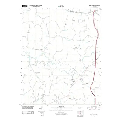
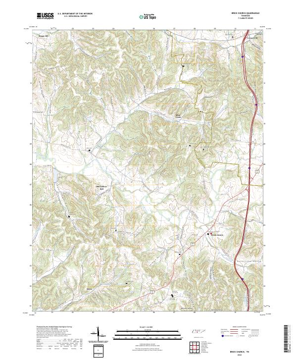 2022 Brick Church2022 Print · USGSGiles and Marshall counties appear here in the early twenty-first century, showing a landscape of deep hollows and family cemeteries. Researchers can locate burial grounds such as Franklin Cem and Kincaid Cem or trace the rural routes around Odd Fellows Hall.
End of results
Showing maps 1-10 of 10
Top cities near Krapp Spring
- Lewisburg historical maps
- Pulaski historical maps
- Cornersville historical maps
- Elkton historical maps
- Minor Hill historical maps
- Lynnville historical maps
Frequently asked questions
- What are the different types of historical maps available for Krapp Spring?
- What is the oldest map of Krapp Spring?
- Where can I purchase historical maps of Krapp Spring for my home or office?
- Where can I download high-res historical maps of Krapp Spring?
- Are there historical topographic maps available for Krapp Spring?
- Is there historical aerial imagery available for Krapp Spring?
- Where are historical maps of Krapp Spring sourced from?