2020s Maps of Minor Hill, Tennessee
Explore 6 historic maps of Minor Hill from the 2020s. These maps offer a rare glimpse into what life looked like during the 2020s — showing old roads, neighborhoods, homes, and landmarks that have changed or disappeared over time.
Whether you're researching your family's past, planning a metal detecting trip, or studying how Minor Hill's landscape evolved across the 2020s, these high-resolution maps are a powerful tool for exploring the history of this region.
- Focus on a specific era: All maps on this page are from the 2020s, giving you a focused view of this time period.
- See what’s changed: Compare century-old streets, trails, and buildings to today's modern landscape using overlays and satellite layers.
- Research with precision: Use these maps for genealogy, historical research, land use analysis, or educational projects.
- View, download, or print: Maps are fully viewable online in high resolution, and can be downloaded or printed for your own records.
Start exploring Minor Hill's history through authentic maps from the 2020s. This is your window into the past.
Minor Hill, TN maps
(6)- 2020 Map of Union Hill, 2020 Print
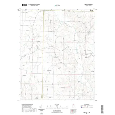 2020 Union Hill2020 Print · USGSCovers Minor Hill, including Lester, Cherry Grove, and other nearby areas
 - 2020 Map of Salem, 2020 Print
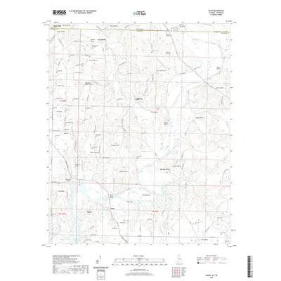 2020 Salem2020 Print · USGSCovers Minor Hill, including Walnut Hill, Salem, and other nearby areas
 - 2022 Map of Aspen Hill, 2022 Print
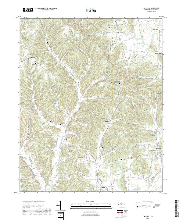 2022 Aspen Hill2022 Print · USGSSettled along the Elk River and Richland Creek, this Giles County landscape features a dense network of upland farms and family-named hollows. Genealogists can trace decades of history through Beech Grove Cem, Aspen Hill Cem, and Stella.
 - 2022 Map of Appleton, 2022 Print
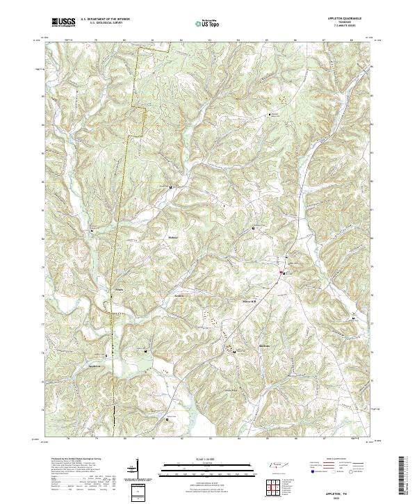 2022 Appleton2022 Print · USGSCovers Minor Hill, including Sexton, Malone, and other nearby areas
 - 2024 Map of Salem, 2024 Print
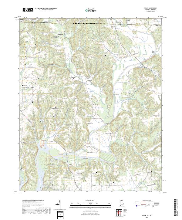 2024 Salem2024 Print · USGSLimestone County, Alabama, and Giles County, Tennessee, meet along the banks of the Elk River in this contemporary survey of the borderlands. Researchers can trace the heritage of rural communities and river crossings like Leggtown, Spencer Store, Grigsby Ferry, and the New Salem Cem.
 - 2024 Map of Union Hill, 2024 Print
 2024 Union Hill2024 Print · USGSLimestone County, Alabama, and the Tennessee borderlands are captured in this modern survey of rural settlements and family burial grounds. Local historians can trace the early road network and locate sites like Ridgway Mill, Union Hill Cem, and the settlement of Scarce Grease.
End of results
Showing maps 1-6 of 6
Top cities near Minor Hill
- Huntsville historical maps
- Athens historical maps
- Lawrenceburg historical maps
- Pulaski historical maps
- Rogersville historical maps
- Lexington historical maps
See more
Frequently asked questions
- What are the different types of historical maps available for Minor Hill?
- What is the oldest map of Minor Hill?
- Where can I purchase historical maps of Minor Hill for my home or office?
- Where can I download high-res historical maps of Minor Hill?
- Are there historical topographic maps available for Minor Hill?
- Is there historical aerial imagery available for Minor Hill?
- Where are historical maps of Minor Hill sourced from?