Old Maps of Olivet, Tennessee for Genealogy
Trace your family roots with 9 historic maps of Olivet. These high-res maps reveal old neighborhoods, homesites, landmarks, and streets — helping you uncover where your ancestors lived and how the area evolved over time.
- Explore historic neighborhoods: Identify where your relatives may have lived in the 1800s or 1900s.
- Compare maps over time: Trace the changes in streets, buildings, and landmarks for multi-generational research.
- Perfect for genealogy & ancestry research: Used by family historians and researchers to map out lineage and migration.
These maps are an incredible resource for exploring your personal connection to Olivet's past.
Olivet, TN maps
(9)- 1936 Map of Milky Way
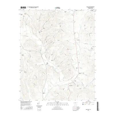
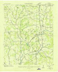 1936 Milky Way1936 Print · USGSGiles County in the mid-1930s is a landscape of established estates and railroad-dependent hamlets. Researchers can trace family history through numerous landmarks like Milky Way Farm, Riversburg Station, and the Morris Town Cem.
 - 1951 Map of Milky Way, 1954 Print
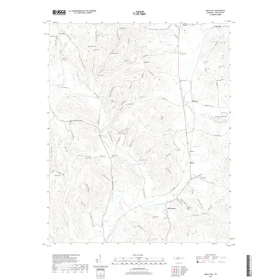
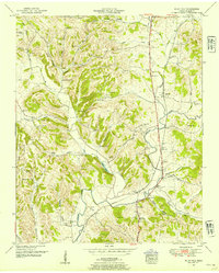 1951 Milky Way1954 Print · USGSGiles County at the mid-century reveals a rural landscape anchored by rail and river. Genealogists can trace family names through dozens of landmarks like Abernathy Cem, Lilburn Sch, and the community of Riversburg.2 unique versions available
 - 1956 Map of Columbia, 1960 Print
 1956 Columbia1960 Print · USGSMiddle Tennessee in the mid-fifties presents a landscape of established river towns and critical rail hubs before the arrival of the modern interstate system. Researchers can trace the routes of the Louisville and Nashville railroad or locate historic landmarks like Stones River National Military Park and the Tennessee National Wildlife Refuge.6 unique versions available
 - 1985 Map of Lawrenceburg
 1985 Lawrenceburg1985 Print · USGSMiddle Tennessee and Northern Alabama are captured in the mid-1980s, showcasing a landscape of high ridges and winding river valleys. Genealogists and historians can trace rail lines like the Seaboard System Railroad or locate community landmarks such as Saint Marys Church and Three Churches.2 unique versions available
 - 2010 Map of Milky Way, 2010 Print
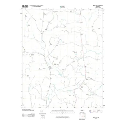 2010 Milky Way2010 Print · USGSCovers Olivet, including Lynnville, Bufords, and other nearby areas
 - 2013 Map of Milky Way, 2013 Print
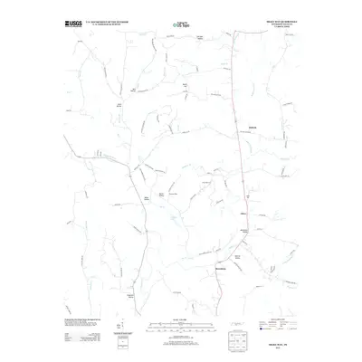 2013 Milky Way2013 Print · USGSCovers Olivet, including Lynnville, Bufords, and other nearby areas
 - 2016 Map of Milky Way, 2016 Print
 2016 Milky Way2016 Print · USGSCovers Olivet, including Lynnville, Bufords, and other nearby areas
 - 2019 Map of Milky Way, 2019 Print
 2019 Milky Way2019 Print · USGSCovers Olivet, including Lynnville, Bufords, and other nearby areas
 - 2022 Map of Milky Way, 2022 Print
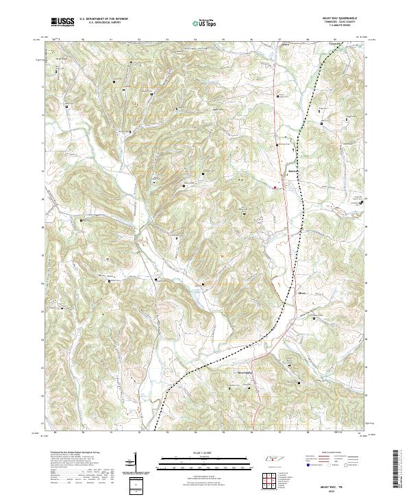 2022 Milky Way2022 Print · USGSGiles County’s rural character is well-preserved in this modern survey of the area around Lynnville and Riversburg. Genealogists and local historians can trace scores of family burial sites like the Tinnon Burial Ground and Mount Olivet Cem.
End of results
Showing maps 1-9 of 9
Top cities near Olivet
- Lewisburg historical maps
- Pulaski historical maps
- Mount Pleasant historical maps
- Cornersville historical maps
- Elkton historical maps
- Minor Hill historical maps
See more
Frequently asked questions
- What are the different types of historical maps available for Olivet?
- What is the oldest map of Olivet?
- Where can I purchase historical maps of Olivet for my home or office?
- Where can I download high-res historical maps of Olivet?
- Are there historical topographic maps available for Olivet?
- Is there historical aerial imagery available for Olivet?
- Where are historical maps of Olivet sourced from?