2000s (21st Century) Maps of Bethany, Tennessee
Explore 6 historic maps of Bethany from the 2000s (21st Century). These maps offer a rare glimpse into what life looked like during the 2000s — showing old roads, neighborhoods, homes, and landmarks that have changed or disappeared over time.
Whether you're researching your family's past, planning a metal detecting trip, or studying how Bethany's landscape evolved across the 2000s, these high-resolution maps are a powerful tool for exploring the history of this region.
- Focus on a specific era: All maps on this page are from the 2000s, giving you a focused view of this time period.
- See what’s changed: Compare century-old streets, trails, and buildings to today's modern landscape using overlays and satellite layers.
- Research with precision: Use these maps for genealogy, historical research, land use analysis, or educational projects.
- View, download, or print: Maps are fully viewable online in high resolution, and can be downloaded or printed for your own records.
Start exploring Bethany's history through authentic maps from the 2000s. This is your window into the past.
Bethany, TN maps
(6)- 2003 Map of Greystone, 2004 Print
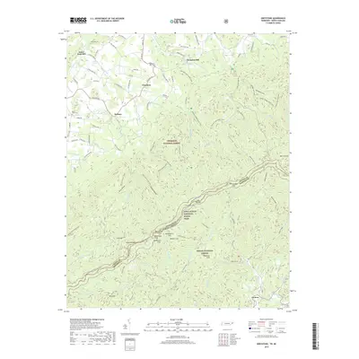
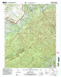 2003 Greystone2004 Print · USGSIn the highlands of the Tennessee and North Carolina borderlands, this mid-century survey shows the remote hollows and high ridges at the start of the millennium. Genealogists can locate family landmarks like Dobson School, Doak Cabin, and the Water Fork Mill along the foothills.
 - 2011 Map of Greystone, 2011 Print
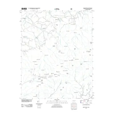 2011 Greystone2011 Print · USGSCovers Bethany, including Water Fork Mill, Carmen, and other nearby areas
 - 2013 Map of Greystone, 2013 Print
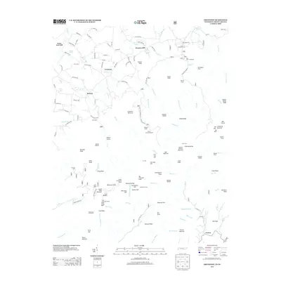 2013 Greystone2013 Print · USGSCovers Bethany, including Water Fork Mill, Carmen, and other nearby areas
 - 2016 Map of Greystone, 2016 Print
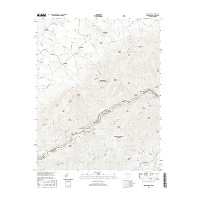 2016 Greystone2016 Print · USGSCovers Bethany, including Water Fork Mill, Carmen, and other nearby areas
 - 2019 Map of Greystone, 2019 Print
 2019 Greystone2019 Print · USGSCovers Bethany, including Water Fork Mill, Carmen, and other nearby areas
 - 2022 Map of Greystone, 2022 Print
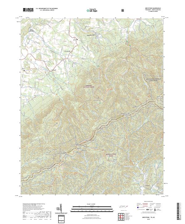 2022 Greystone2022 Print · USGSThe Tennessee and North Carolina border country comes alive on this map, showing the high ridges where the Appalachian National Scenic Trail winds through the Bald Mountains. Genealogists and historians can trace local family landmarks from Water Fork Mill and Hampton Mill to the Mountain View Cem.
End of results
Showing maps 1-6 of 6
Top cities near Bethany
- Johnson City historical maps
- Greeneville historical maps
- Jonesborough historical maps
- Tusculum historical maps
- Mosheim historical maps
- Hot Springs historical maps
Frequently asked questions
- What are the different types of historical maps available for Bethany?
- What is the oldest map of Bethany?
- Where can I purchase historical maps of Bethany for my home or office?
- Where can I download high-res historical maps of Bethany?
- Are there historical topographic maps available for Bethany?
- Is there historical aerial imagery available for Bethany?
- Where are historical maps of Bethany sourced from?