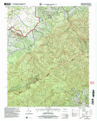
2003 Map of Greystone
USGS Topo · Published 2004About this map
Greystone and Bethany serve as the primary valley settlements in this rugged section of the Bald Mountains straddling the Greene and Madison County line. The landscape is defined by the steep ridges of the Cherokee National Forest and Pisgah National Forest, where the Appalachian Trail traverses high peaks like Camp Creek Bald and Big Firescald Knob. Evidence of local industry and community life is found along the lower elevations, including Water Fork Mill and Hampton Mill near the northern reaches of Middle Fork Jennings Creek. Local genealogy is well-represented through institutions like Dobson School and several rural houses of worship, such as Mountain View Church and Gethsemane Church. Small-scale resource extraction is also noted at the Strip Mines located west of Ricker Pond.
Find a feature on this map
86 named features on this map. Tap any name to fly to it.
Don’t see what you’re looking for? This feature index may not catch every label — zoom into the map to look around manually.
Map Details
Editions of this 2003 Greystone Map
This is the sole edition of this map. No revisions or reprints were ever made.
Other maps of this area

1892 · Greeneville
USGS Topo · 1:125,000

1894 · Asheville
USGS Topo · 1:125,000

1896 · Greeneville
USGS Topo · 1:125,000

1901 · Asheville
USGS Topo · 1:125,000

1904 · Greeneville
USGS Topo · 1:125,000

1935 · Hot Springs
USGS Topo · 1:24,000

1936 · Greystone
USGS Topo · 1:24,000

1936 · Sams Gap
USGS Topo · 1:24,000
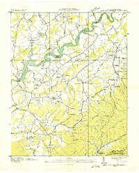
1936 · Lake Davy Crockett
USGS Topo · 1:24,000
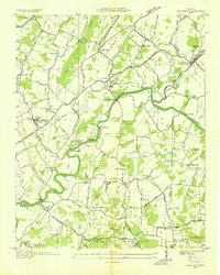
1936 · Chuckey
USGS Topo · 1:24,000