Old Maps of Altamont, Tennessee for Academic Research
Study the evolution of Altamont with 23 high-resolution historic maps. Whether you're teaching, researching, or modeling changes in land use, these maps provide essential visual documentation of urban, environmental, and geographic change.
- Analyze long-term change: Track patterns in development, transportation, and natural features.
- Ideal for environmental or urban studies: Support academic projects with primary historical map data.
- Use in the classroom or lab: Educators and researchers rely on these maps to bring historical context to life.
These maps are a powerful tool for teaching, research, and visualizing how Altamont has changed over the decades.
Altamont, TN maps
(23)- 1895 Map of Sewanee
 1895 Sewanee1895 Print · USGSThe Cumberland Plateau and Sequatchie Valley come alive in the late nineteenth century, showing a landscape shaped by coal, iron, and the rails. Genealogists and historians can trace family-named coves and industrial sites like the Cowan Tunnel, Beersheba Springs, and the Stone Quarry.6 unique versions available
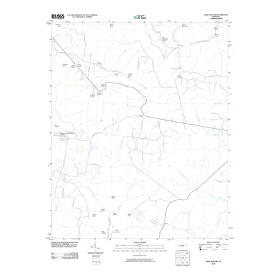
 - 1936 Map of Cane Hollow
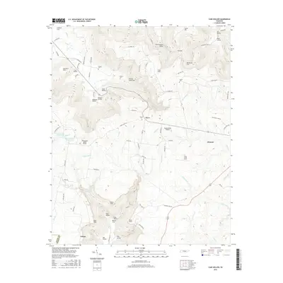
 1936 Cane Hollow1936 Print · USGSThe Cumberland Plateau in the mid-1930s is captured here just as modern aerial surveying began to detail its complex drainage basins. Trace the old path of State Highway No 108 and locate landmarks like the Altamont Fire Tower and the headwaters of the Elk River at Burrows Cove.
 - 1943 Map of Mc Minnville, 1944 Print
 1943 Mc Minnville1944 Print · USGSMid-Tennessee is captured here during the mobilization of the early 1940s, showing the vast Camp Forrest Military Reservation and thriving rail towns. Trace the N C & ST L line through Mcminnville or locate smaller rural hubs like Morrison and Hickerson Station.
 - 1953 Map of Chattanooga
 1953 Chattanooga1953 Print · USGSSoutheast Tennessee in the early fifties shows a landscape reshaped by river management and rail power. Trace the rail lines of the Southern Ry through riverside towns or locate the preserved grounds of the Chickamauga and Chattanooga National Military Park.
 - 1956 Map of Altamont, 1957 Print
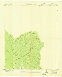
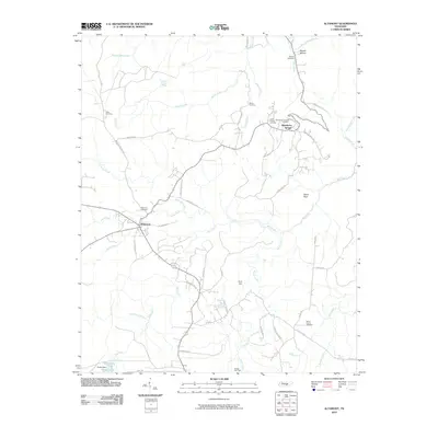
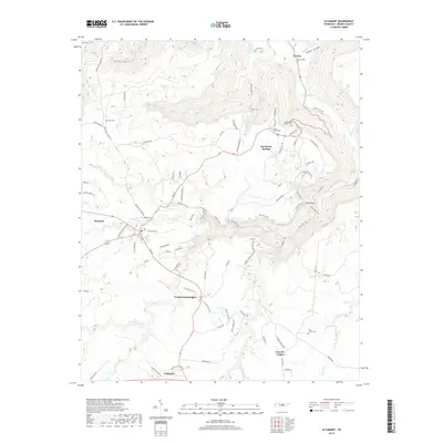
 1956 Altamont1957 Print · USGSThe Cumberland Plateau in the mid-1950s is captured here, showing the ridge-top settlements and deep coves of Grundy County. Genealogists can trace family landmarks like Fults Cem and Killians Chapel or follow the historic Old Chattanooga Stage Road.6 unique versions available
 - 1956 Map of Cane Hollow, 1958 Print
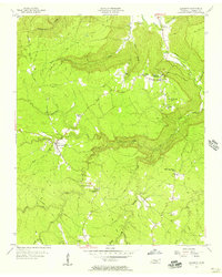
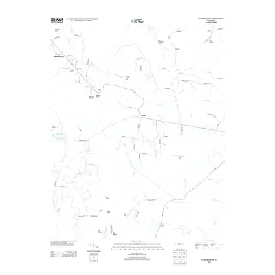
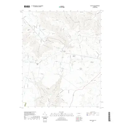
 1956 Cane Hollow1958 Print · USGSGrundy County life in the mid-fifties is centered on the rugged transition between the Cumberland Plateau and its deep coves. Family historians can locate specific homesteads near Marvin Chapel, Winton Cem, and the Altamont Lookout Tower.2 unique versions available
 - 1957 Map of Chattanooga, 1966 Print
 1957 Chattanooga1966 Print · USGSEast Tennessee in the mid-1960s shows a landscape of massive hydroelectric reservoirs and emerging industrial sites like the Atomic Energy Commission (Oak Ridge Area). Trace the rail networks of the Southern Ry through Chattanooga or locate family-named ridges across the Cumberland Plateau.3 unique versions available
 - 1959 Map of Chattanooga
 1959 Chattanooga1959 Print · USGSSoutheast Tennessee is shown here during a decade of industrial growth and hydroelectric development. Trace the regional rail networks of the Southern Ry and find landmark sites like Lookout Mountain, Fall Creek Falls State Park, and Chattanooga.
 - 1960 Map of Chattanooga
 1960 Chattanooga1960 Print · USGSSoutheast Tennessee and the southern Appalachians are shown here at the height of the river-management era. You can trace the valley rail lines and locate Lookout Mountain and the expansive waters of Chickamauga Reservoir.
 - 1964 Map of Chattanooga
 1964 Chattanooga1964 Print · USGSSoutheast Tennessee and the western Carolinas appear in the mid-sixties as a powerhouse of river-driven industry and mountain wilderness. Genealogists and historians can trace rail-town lineages along the Southern Ry or locate family landmarks near Watts Bar Lake and Tellico Plains.
 - 1979 Map of Chattanooga, 1980 Print
 1979 Chattanooga1980 Print · USGSSoutheast Tennessee in the late seventies reveals a landscape shaped by massive TVA river projects and the industrial strength of the Cumberland Plateau. Genealogists and historians can trace the rail-to-river network through L & N RR junctions, the University of the South, and the Volunteer Army Ammunition Plant.
 - 1988 Map of Chattanooga, 1991 Print
 1988 Chattanooga1991 Print · USGSSoutheast Tennessee at the end of the 1980s reveals a complex landscape of deep river valleys and high coal-rich plateaus. Researchers can trace the legacy of the L & N RR through Tracy City or locate the sprawling Strip Mines near Whitwell.
 - 1997 Map of Altamont, 1999 Print
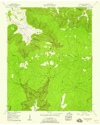
 1997 Altamont1999 Print · USGSThe Cumberland Plateau during the late nineties reveals a landscape of high-elevation settlements and deep gorges. Genealogists and researchers can trace family landmarks like Killians Chapel, Beersheba Springs Cem, and the industrial footprint of Strip Mines near Coalmont.
 - 2010 Map of Cane Hollow, 2010 Print
 2010 Cane Hollow2010 Print · USGSCovers Altamont, including Hixon, Hubbards Cove, and other nearby areas
 - 2010 Map of Altamont, 2010 Print
 2010 Altamont2010 Print · USGSCovers Altamont, including Gruetli-Laager, Coalmont, and other nearby areas
 - 2013 Map of Altamont, 2013 Print
 2013 Altamont2013 Print · USGSCovers Altamont, including Gruetli-Laager, Coalmont, and other nearby areas
 - 2013 Map of Cane Hollow, 2013 Print
 2013 Cane Hollow2013 Print · USGSCovers Altamont, including Hixon, Hubbards Cove, and other nearby areas
 - 2016 Map of Altamont, 2016 Print
 2016 Altamont2016 Print · USGSCovers Altamont, including Gruetli-Laager, Coalmont, and other nearby areas
 - 2016 Map of Cane Hollow, 2016 Print
 2016 Cane Hollow2016 Print · USGSCovers Altamont, including Hixon, Hubbards Cove, and other nearby areas
 - 2019 Map of Cane Hollow, 2019 Print
 2019 Cane Hollow2019 Print · USGSCovers Altamont, including Hixon, Hubbards Cove, and other nearby areas
 - 2019 Map of Altamont, 2019 Print
 2019 Altamont2019 Print · USGSCovers Altamont, including Gruetli-Laager, Coalmont, and other nearby areas
 - 2022 Map of Cane Hollow, 2022 Print
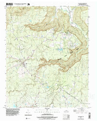
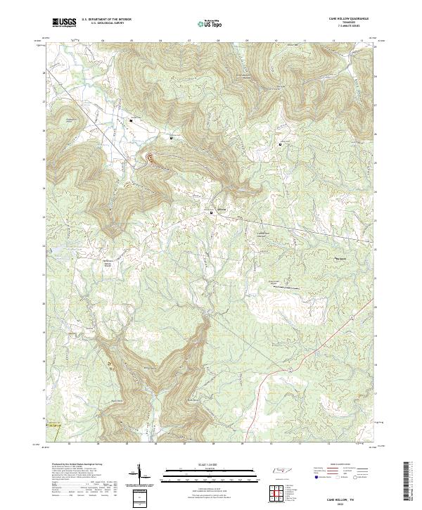 2022 Cane Hollow2022 Print · USGSThe Cumberland Plateau in Grundy County is shown here in the 2020s, highlighting the headwaters of the Elk River. Genealogists can locate family burial grounds like Wooten Cem and Johnny Cem or the community of Altamont.
 - 2022 Map of Altamont, 2022 Print
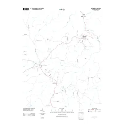
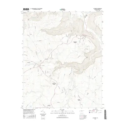
 2022 Altamont2022 Print · USGSThe Cumberland Plateau of Tennessee is captured here in the early twenty-first century, showing a landscape defined by deep coves and plateau-top towns. Genealogists and hikers can trace the paths to Stone Door, locate the Grundy County Courthouse, or find family plots at Swiss Colony Cem and Beersheba Springs Cem.
End of results
Showing maps 1-23 of 23
Top cities near Altamont
- McMinnville historical maps
- Gruetli-Laager historical maps
- Tracy City historical maps
- Whitwell historical maps
- Monteagle historical maps
- Coalmont historical maps
See more
Frequently asked questions
- What are the different types of historical maps available for Altamont?
- What is the oldest map of Altamont?
- Where can I purchase historical maps of Altamont for my home or office?
- Where can I download high-res historical maps of Altamont?
- Are there historical topographic maps available for Altamont?
- Is there historical aerial imagery available for Altamont?
- Where are historical maps of Altamont sourced from?