Old Maps of Gruetli-Laager, Tennessee for Academic Research
Study the evolution of Gruetli-Laager with 37 high-resolution historic maps. Whether you're teaching, researching, or modeling changes in land use, these maps provide essential visual documentation of urban, environmental, and geographic change.
- Analyze long-term change: Track patterns in development, transportation, and natural features.
- Ideal for environmental or urban studies: Support academic projects with primary historical map data.
- Use in the classroom or lab: Educators and researchers rely on these maps to bring historical context to life.
These maps are a powerful tool for teaching, research, and visualizing how Gruetli-Laager has changed over the decades.
Gruetli-Laager, TN maps
(37)- 1895 Map of Sewanee
 1895 Sewanee1895 Print · USGSThe Cumberland Plateau and Sequatchie Valley come alive in the late nineteenth century, showing a landscape shaped by coal, iron, and the rails. Genealogists and historians can trace family-named coves and industrial sites like the Cowan Tunnel, Beersheba Springs, and the Stone Quarry.6 unique versions available
 - 1936 Map of Palmer
 1936 Palmer1936 Print · USGSMid-1930s Grundy County comes alive through this look at the plateau's rail-and-coal industry. Trace the complex narrow gage routes serving the Clifty Mines or locate family roots near Tatesville and Griffith Sch.
 - 1936 Map of Tracy City
 1936 Tracy City1936 Print · USGSThe industrial and social fabric of the Cumberland Plateau is detailed here in the mid-1930s. Genealogists and local historians can trace the rail networks of the St Louis and Chattanooga Railroad and locate community landmarks like Burkett Chapel and the Nyack Sch.
 - 1947 Map of Tracy City, 1974 Print
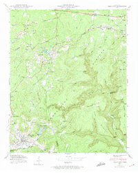 1947 Tracy City1974 Print · USGSThe Cumberland Plateau in the late 1940s was a landscape of deep coal mines and mountain settlements. Genealogists and historians can trace rail lines like the Nashville Chattanooga and St Louis and visit local landmarks like Orange Hill Ch or Bonnie Oak Cem.4 unique versions available
 - 1947 Map of Palmer, 1983 Print
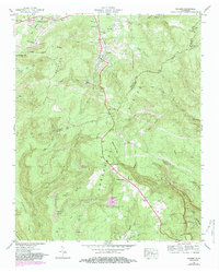 1947 Palmer1983 Print · USGSThe Cumberland Plateau mining economy and mountain settlement patterns are documented here in the late 1940s. Genealogists can locate family landmarks like Layne Cem and industrial sites such as Palmer Mine and the Conveyor Belt.2 unique versions available
 - 1950 Map of Tracy City
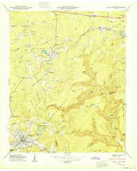 1950 Tracy City1950 Print · USGSThe industrial and social landscape of the Cumberland Plateau is revealed in this mid-century survey of the Grundy County highlands. Local historians can trace the influence of the N C & S T L railroad on settlements like Coalmont and locate family landmarks such as Bonnie Oak Cem and Nunley Sch.
 - 1950 Map of Palmer
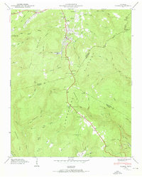 1950 Palmer1950 Print · USGSThe Cumberland Plateau coal mining district comes into focus mid-century as rail lines and mines reached into the coves. Genealogists and researchers can locate family sites like Layne Cem, the Palmer Mine, and the Tatesville Sch.2 unique versions available
 - 1953 Map of Chattanooga
 1953 Chattanooga1953 Print · USGSSoutheast Tennessee in the early fifties shows a landscape reshaped by river management and rail power. Trace the rail lines of the Southern Ry through riverside towns or locate the preserved grounds of the Chickamauga and Chattanooga National Military Park.
 - 1956 Map of Collins, 1957 Print
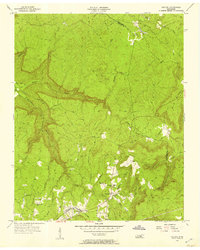 1956 Collins1957 Print · USGSIn the mid-1950s, this area of the Cumberland Plateau was a landscape of remote mountain roads and small hollows. Genealogists can locate family landmarks like Browns Chapel, Barkertown, and the Old Chattanooga Stage Road.6 unique versions available
 - 1956 Map of Altamont, 1957 Print
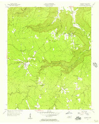 1956 Altamont1957 Print · USGSThe Cumberland Plateau in the mid-1950s is captured here, showing the ridge-top settlements and deep coves of Grundy County. Genealogists can trace family landmarks like Fults Cem and Killians Chapel or follow the historic Old Chattanooga Stage Road.6 unique versions available
 - 1957 Map of Chattanooga, 1966 Print
 1957 Chattanooga1966 Print · USGSEast Tennessee in the mid-1960s shows a landscape of massive hydroelectric reservoirs and emerging industrial sites like the Atomic Energy Commission (Oak Ridge Area). Trace the rail networks of the Southern Ry through Chattanooga or locate family-named ridges across the Cumberland Plateau.3 unique versions available
 - 1959 Map of Chattanooga
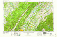 1959 Chattanooga1959 Print · USGSSoutheast Tennessee is shown here during a decade of industrial growth and hydroelectric development. Trace the regional rail networks of the Southern Ry and find landmark sites like Lookout Mountain, Fall Creek Falls State Park, and Chattanooga.
 - 1960 Map of Chattanooga
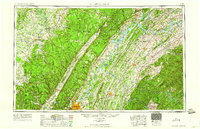 1960 Chattanooga1960 Print · USGSSoutheast Tennessee and the southern Appalachians are shown here at the height of the river-management era. You can trace the valley rail lines and locate Lookout Mountain and the expansive waters of Chickamauga Reservoir.
 - 1964 Map of Chattanooga
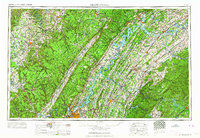 1964 Chattanooga1964 Print · USGSSoutheast Tennessee and the western Carolinas appear in the mid-sixties as a powerhouse of river-driven industry and mountain wilderness. Genealogists and historians can trace rail-town lineages along the Southern Ry or locate family landmarks near Watts Bar Lake and Tellico Plains.
 - 1979 Map of Chattanooga, 1980 Print
 1979 Chattanooga1980 Print · USGSSoutheast Tennessee in the late seventies reveals a landscape shaped by massive TVA river projects and the industrial strength of the Cumberland Plateau. Genealogists and historians can trace the rail-to-river network through L & N RR junctions, the University of the South, and the Volunteer Army Ammunition Plant.
 - 1988 Map of Chattanooga, 1991 Print
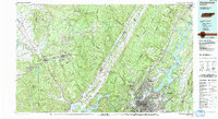 1988 Chattanooga1991 Print · USGSSoutheast Tennessee at the end of the 1980s reveals a complex landscape of deep river valleys and high coal-rich plateaus. Researchers can trace the legacy of the L & N RR through Tracy City or locate the sprawling Strip Mines near Whitwell.
 - 1997 Map of Altamont, 1999 Print
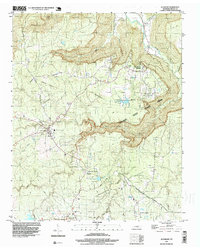 1997 Altamont1999 Print · USGSThe Cumberland Plateau during the late nineties reveals a landscape of high-elevation settlements and deep gorges. Genealogists and researchers can trace family landmarks like Killians Chapel, Beersheba Springs Cem, and the industrial footprint of Strip Mines near Coalmont.
 - 2010 Map of Tracy City, 2010 Print
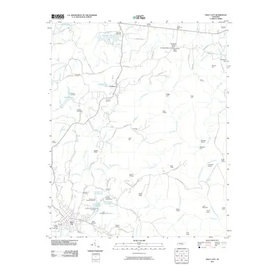 2010 Tracy City2010 Print · USGSThe Cumberland Plateau in the early twenty-first century is a landscape of mountain gaps and small reservoirs. Genealogists and local historians can trace family roots through numerous burial sites like Orange Hill Cemetery and Bonnie Oak Cemetery near Coalmont.
 - 2010 Map of Palmer, 2010 Print
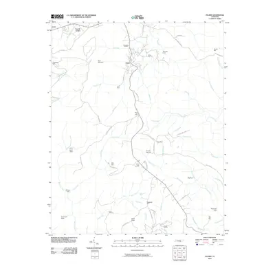 2010 Palmer2010 Print · USGSThe Cumberland Plateau in Grundy County shows its mining and mountain heritage in this 2010 survey. Researchers can trace deep family roots at Griffith Creek Cemetery or locate historic industry sites like Palmer Mine and Coal Valley Mine.
 - 2010 Map of Collins, 2010 Print
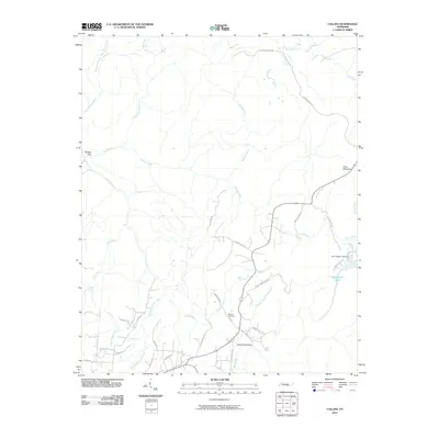 2010 Collins2010 Print · USGSGrundy County at the turn of the millennium reveals a landscape of deep gulfs and winding plateau roads. Genealogists and hikers can trace family names at Browns Cemetery or follow the historic path of Stage Coach Rd through Savage Gulf.
 - 2010 Map of Altamont, 2010 Print
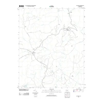 2010 Altamont2010 Print · USGSAltamont and the plateau community of Beersheba Springs are documented here during the early twenty-first century. Researchers can trace family sites like Morton Cemetery, Swiss Colony Cemetery, and the Gruetli Gas Field.
 - 2013 Map of Palmer, 2013 Print
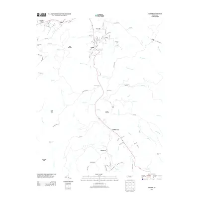 2013 Palmer2013 Print · USGSThe Cumberland Plateau landscape near Gruetli-Laager is captured here during the early twenty-first century. Genealogists and local researchers can trace the roads and hollows of Palmer, Tatesville, and Griffith Creek, or locate family landmarks in Norman Cove and Lenny Harris Cove.
 - 2013 Map of Altamont, 2013 Print
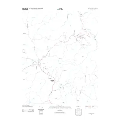 2013 Altamont2013 Print · USGSGrundy County's plateau settlements and deep gulfs are documented here just over a decade ago. Local historians can trace the paths of Old Stagecoach Rd and Old Highway 56 between Altamont and the landmark Stone Door near Beersheba Springs.
 - 2013 Map of Tracy City, 2013 Print
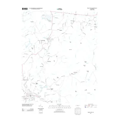 2013 Tracy City2013 Print · USGSThe rugged Cumberland Plateau near Tracy City and Gruetli is documented in this 2013 survey, showcasing a landscape carved by the Little Sequatchie River. Genealogists can trace historic communities like Coalmont and Sweeton Hill or the Grundy County Fairgrounds.
 - 2013 Map of Collins, 2013 Print
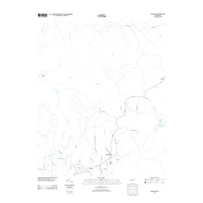 2013 Collins2013 Print · USGSGrundy County in the early twenty-first century reveals a landscape where deep-cut gulfs and old transit ways meet. Local historians can trace the paths of the Stage Coach Rd and Old Chat-Mc Minnville Stage Rd near Barkertown.
Showing maps 1-25 of 37
Top cities near Gruetli-Laager
- Chattanooga historical maps
- Dunlap historical maps
- Tracy City historical maps
- Whitwell historical maps
- Monteagle historical maps
- Powells Crossroads historical maps
See more
Top neighborhoods of Gruetli-Laager
Frequently asked questions
- What are the different types of historical maps available for Gruetli-Laager?
- What is the oldest map of Gruetli-Laager?
- Where can I purchase historical maps of Gruetli-Laager for my home or office?
- Where can I download high-res historical maps of Gruetli-Laager?
- Are there historical topographic maps available for Gruetli-Laager?
- Is there historical aerial imagery available for Gruetli-Laager?
- Where are historical maps of Gruetli-Laager sourced from?