1900s (20th Century) Maps of Hamblen County, Tennessee
Explore 47 historic maps of Hamblen County from the 1900s (20th Century). These maps offer a rare glimpse into what life looked like during the 1900s — showing old roads, neighborhoods, homes, and landmarks that have changed or disappeared over time.
Whether you're researching your family's past, planning a metal detecting trip, or studying how Hamblen County's landscape evolved across the 1900s, these high-resolution maps are a powerful tool for exploring the history of this region.
- Focus on a specific era: All maps on this page are from the 1900s, giving you a focused view of this time period.
- See what’s changed: Compare century-old streets, trails, and buildings to today's modern landscape using overlays and satellite layers.
- Research with precision: Use these maps for genealogy, historical research, land use analysis, or educational projects.
- View, download, or print: Maps are fully viewable online in high resolution, and can be downloaded or printed for your own records.
Start exploring Hamblen County's history through authentic maps from the 1900s. This is your window into the past.
Hamblen County, TN maps
(47)- 1935 Map of White Pine
 1935 White Pine1935 Print · USGSThe Jefferson County countryside around White Pine is shown here in the mid-1930s as the French Broad River valley hummed with rural industry. Researchers can trace family-named landmarks like Anderson Mill, Hawkins Chapel, and Westminster Cem.
 - 1935 Map of Rogersville
 1935 Rogersville1935 Print · USGSHawkins and Greene Counties come alive in the mid-1930s, showing a landscape of ridge-top schools and river-bottom farms. Genealogists can trace family footprints near Pressmans Home, Bulls Gap, and local centers like Macedonia Ch.
 - 1935 Map of Tate Springs
 1935 Tate Springs1935 Print · USGSThe river valleys of Grainger County are captured here in the mid-1930s as the Tennessee Valley Authority began planning the reservoir. Trace family history through local landmarks like Lawson Mill, Swan Island Ferry, and the community at Tate Springs.
 - 1935 Map of Springvale
 1935 Springvale1935 Print · USGSIn the mid-thirties, the Nolichucky River valley supported a vibrant network of rural communities at the junction of three Tennessee counties. Genealogists and historians can trace family locations through numerous landmarks like Bethesda Ch, Silver City, and river crossings such as Inman Ford.
 - 1935 Map of Avondale
 1935 Avondale1935 Print · USGSGrainger County is captured here in the mid-1930s as the rising Norris Reservoir began to reshape the landscape. Local historians can locate vanished landmarks like Avondale Sch, Shields Cem, and the original crossing at Turley Bridge.
 - 1935 Map of Morristown
 1935 Morristown1935 Print · USGSMorristown and its surrounding Tennessee countryside appear here during the mid-1930s as the regional rail and road networks were expanding. Researchers can trace family roots through sites like EMMA JARNAGAN CEM, Reed Chapel, and the CCC Camp No 1467.
 - 1935 Map of Russellville
 1935 Russellville1935 Print · USGSThe Holston River valley in the mid-1930s reveals a landscape of river ferries, mineral springs, and rail-side towns. Genealogists and local historians can trace the foundations of Russellville, Whitesburg, and Mooresburg, along with rural landmarks like Kings Mill and Bright Ferry.
 - 1935 Map of Mohawk
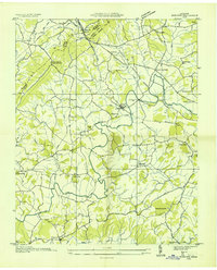 1935 Mohawk1935 Print · USGSGreene County was a landscape of small milling towns and rail-side junctions during the mid-1930s. Researchers can locate vanished landmarks like the Mohawk Roller Mill, the rural Sinking Springs Sch, and family sites near Warrensburg.
 - 1935 Map of Bean Station
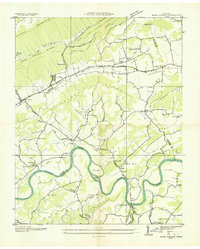 1935 Bean Station1935 Print · USGSBean Station and the Holston River valley are captured in the mid-1930s, showing the region's rural character before modern development. Genealogists can locate family landmarks like the Caldwell Cem, Mullins Sch, and the Barnard Ch.
 - 1935 Map of Rankin
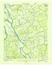 1935 Rankin1935 Print · USGSIn the mid-1930s, the river valleys of East Tennessee were still defined by small farming communities and country schools. Genealogists can trace family footprints at Atchleys Mill, Rorex Chapel, and the community of Rankin along the Southern railroad.
 - 1935 Map of Talbott
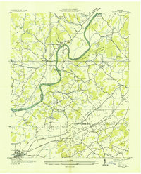 1935 Talbott1935 Print · USGSThe rural river valley at the borders of Hamblen and Jefferson counties comes to life in this mid-1930s survey. Genealogists can locate family landmarks like the Martha Sunderland Cem, Wilson Cager Sch, and old river sites like Collins Ford.
 - 1935 Map of Dandridge
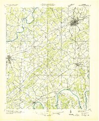 1935 Dandridge1935 Print · USGSEast Tennessee in the mid-1930s is mapped here in great detail as the region's river valleys prepared for the impacts of the Tennessee Valley Authority. Researchers can trace ancestral locations through dozens of landmarks like Martha Sunderland Cem, Panther Creek Mill, and Roe Ch.
 - 1935 Map of Bulls Gap
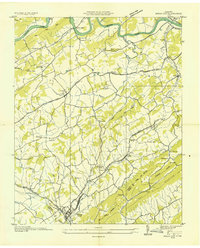 1935 Bulls Gap1935 Print · USGSBulls Gap and the surrounding East Tennessee valley appear here in the mid-1930s as a landscape of rural junctions and river crossings. Researchers can trace family history at Morrissetts Chapel, locate the old MELENDY FERRY on the HOLSTON RIVER, or explore rail-side hamlets like Persia and St Clair.2 unique versions available
 - 1935 Map of Small
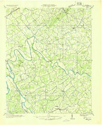 1935 Small1935 Print · USGSEast Tennessee river life in the mid-1930s centered on the fertile valley between the Bays Mountains and the French Broad River. Researchers can trace ancestral locations at Mohawk, Parrottsville, and dozens of rural sites like Alshieys Mill or Bethesda Ch.
 - 1938 Map of Avondale, 1954 Print
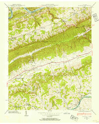 1938 Avondale1954 Print · USGSEast Tennessee's ridge-and-valley landscape is frozen in time during the late 1930s as the Tennessee Valley Authority began transforming the region's river systems. Researchers can trace ancestral locations through the Avondale Cem, local schools like Prospect Sch, and landmarks including Turley Mill and Idol Cross Roads.
 - 1938 Map of Bean Station, 1954 Print
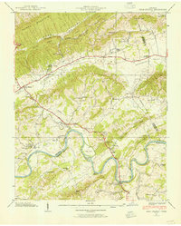 1938 Bean Station1954 Print · USGSUpper East Tennessee's ridges and river valleys are captured here in the late thirties, documenting the vital transit hub at Bean Station. Trace the legacy of rural communities through sites like Tate Springs, Kirkham Sch, and the Holston Bridge.2 unique versions available
 - 1938 Map of Talbott, 1954 Print
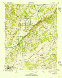 1938 Talbott1954 Print · USGSEast Tennessee in the late thirties shows a landscape of river-bend farms and small rail towns along the Southern line. Genealogists and historians can trace family locations near Old Hull Mill, Kidwell Sch, or the C C C Camp at the edge of town.
 - 1939 Map of Morristown
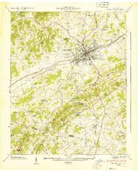 1939 Morristown1939 Print · USGSAs the Tennessee Valley changed before the war, Morristown sat at the junction of the Southern rail lines and the Dixie Highway. Researchers can trace family roots at Emma Jarnagin Cem or locate vanished sites like Noe Mill and Roe Junction.2 unique versions available
 - 1939 Map of Bean Station
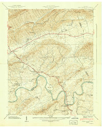 1939 Bean Station1939 Print · USGSEast Tennessee at the end of the Depression era reveals a landscape of ridge-top schools and river-bottom farms along the Holston River. Genealogists and local historians can trace family roots through sites like Caldwell Cem, Macedonia Sch, and Tate Springs.2 unique versions available
 - 1939 Map of White Pine
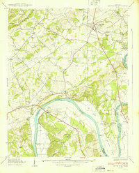 1939 White Pine1939 Print · USGSJefferson and Cocke Counties thrive along the river in the late thirties, just as modern highway travel was beginning to reshape the valley. Genealogists can trace family roots through numerous sites like Westminster Cem, Anderson Mill, and the community of Swannsylvania.2 unique versions available
 - 1939 Map of Avondale
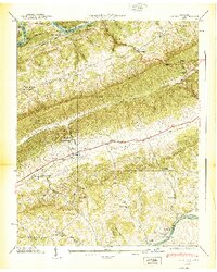 1939 Avondale1939 Print · USGSGrainger County in the late thirties shows a landscape shaped by the new Norris Reservoir and ancient Appalachian ridges. Family historians can locate dozens of specific sites including Avondale Cem, Turley Mill, and schools like Clinch Mtn Sch.2 unique versions available
 - 1939 Map of Rankin
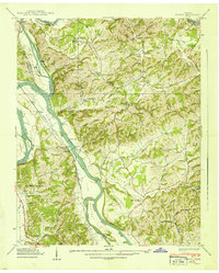 1939 Rankin1939 Print · USGSCocke County and its neighbors are captured here just before mid-century changes, showing the river-driven life along the French Broad River. Researchers can locate family landmarks like Atchley Mill, Solomon Ferry, and Redwine Cem.2 unique versions available
 - 1939 Map of Springvale
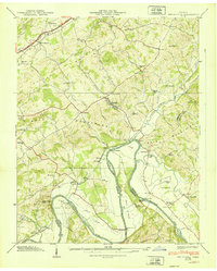 1939 Springvale1939 Print · USGSHamblen and Cocke counties meet along the Nolichucky River during the late thirties, when rural life centered on river fords and small mountain gaps. Genealogists can locate family landmarks like Bethesda Ch, the Creek Store, and Scoot Mill.2 unique versions available
 - 1939 Map of Mohawk, 1957 Print
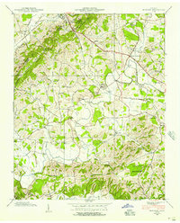 1939 Mohawk1957 Print · USGSEast Tennessee life in the late thirties is captured here at the intersection of Greene, Hamblen, and Hawkins counties. Trace ancestral roots through localized landmarks like Darrow Mill, the Crosby Cem, and numerous country schools such as Salem Sch.4 unique versions available
 - 1939 Map of Russellville, 1958 Print
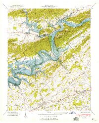 1939 Russellville1958 Print · USGSThe Tennessee Valley underwent a transformation in the late thirties as the rising Lake Cherokee met the Holston River. Genealogists and historians can trace family burial grounds like Hyatt Cem or locate community hubs such as Cain Mill and Bright Ferry.
Showing maps 1-25 of 47
Top cities of Hamblen County
Frequently asked questions
- What are the different types of historical maps available for Hamblen County?
- What is the oldest map of Hamblen County?
- Where can I purchase historical maps of Hamblen County for my home or office?
- Where can I download high-res historical maps of Hamblen County?
- Are there historical topographic maps available for Hamblen County?
- Is there historical aerial imagery available for Hamblen County?
- Where are historical maps of Hamblen County sourced from?