Old Maps of Poor, Tennessee for Genealogy
Trace your family roots with 10 historic maps of Poor. These high-res maps reveal old neighborhoods, homesites, landmarks, and streets — helping you uncover where your ancestors lived and how the area evolved over time.
- Explore historic neighborhoods: Identify where your relatives may have lived in the 1800s or 1900s.
- Compare maps over time: Trace the changes in streets, buildings, and landmarks for multi-generational research.
- Perfect for genealogy & ancestry research: Used by family historians and researchers to map out lineage and migration.
These maps are an incredible resource for exploring your personal connection to Poor's past.
Poor, TN maps
(10)- 1950 Map of Middleton, 1975 Print
 1950 Middleton1975 Print · USGSHardeman County, Tennessee, is captured here in the early post-war era as a vital rail crossroads. Genealogists and historians can trace established family landmarks such as Sandy Springs Cemetery, Old Antioch School, and the junction of two major railroads in Middleton.2 unique versions available
 - 1951 Map of Middleton
 1951 Middleton1951 Print · USGSMiddleton and Hardeman County are shown at a mid-century crossroads where major rail lines intersect. Researchers can trace family sites like Old Bethlehem Cem, Gentrys Chapel, and old schools including Old Antioch Sch.
 - 1956 Map of Blytheville, 1964 Print
 1956 Blytheville1964 Print · USGSWest Tennessee and the Arkansas Delta come alive in this mid-century survey of the river-and-rail corridor connecting Memphis to Jackson. Genealogists and historians can trace the rail lines of the Louisville and Nashville RR and locate landmarks like Western State Hospital or Fort Pillow State Prison Farm.2 unique versions available
 - 1959 Map of Blytheville
 1959 Blytheville1959 Print · USGSWest Tennessee and Northeast Arkansas meet along the river in the late fifties, during a period of steady industrial and agricultural growth. Genealogists can trace the rail corridors of the Illinois Central through Jackson or explore landmarks like Shiloh National Military Park and Fort Pillow State Prison.
 - 1986 Map of Selmer
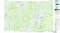 1986 Selmer1986 Print · USGSThe Tennessee River valley and the West Tennessee highlands come into focus in the mid-eighties, showing the region's unique intersection of Civil War history and modern infrastructure. Genealogists and researchers can trace family landmarks like Gillisses Mills, the campus of Freed-Hardeman College, and the hallowed grounds of Shiloh National Military Park.3 unique versions available
 - 2010 Map of Middleton, 2010 Print
 2010 Middleton2010 Print · USGSHardeman County settlements and water management systems are on full display in this Tennessee survey from the late 2000s. Researchers can locate family landmarks like Sandy Springs Cemetery or trace the many dams along Porters Creek near Middleton.
 - 2013 Map of Middleton, 2013 Print
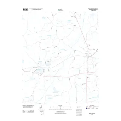 2013 Middleton2013 Print · USGSSouthern Hardeman County in the early twenty-first century is a landscape of complex waterways and small rural communities. Genealogists and local historians can trace family-named routes and landmarks near Middleton, Rogers Springs, and Porters Mountain.
 - 2016 Map of Middleton, 2016 Print
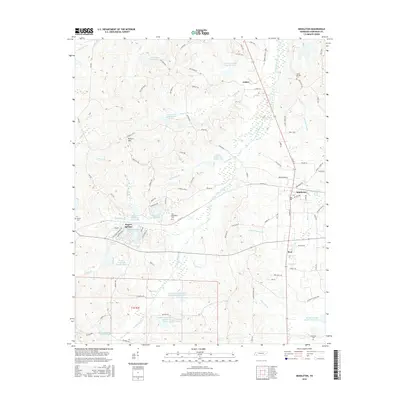 2016 Middleton2016 Print · USGSMiddleton and its surrounding Hardeman County countryside are documented here in the mid-2010s, showing a landscape of managed watersheds and rural crossroads. Researchers can locate family landmarks like Old Bethlehem Cem, Sandy Springs Cem, and the high ground of Porters Mtn.
 - 2019 Map of Middleton, 2019 Print
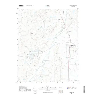 2019 Middleton2019 Print · USGSHardeman County settlements and creek-side cemeteries are documented here in the late twenty-teens. Genealogists can trace local roots through sites like Old Bethlehem Cem and Ramah Cem near Rogers Springs and Middleton.
 - 2022 Map of Middleton, 2022 Print
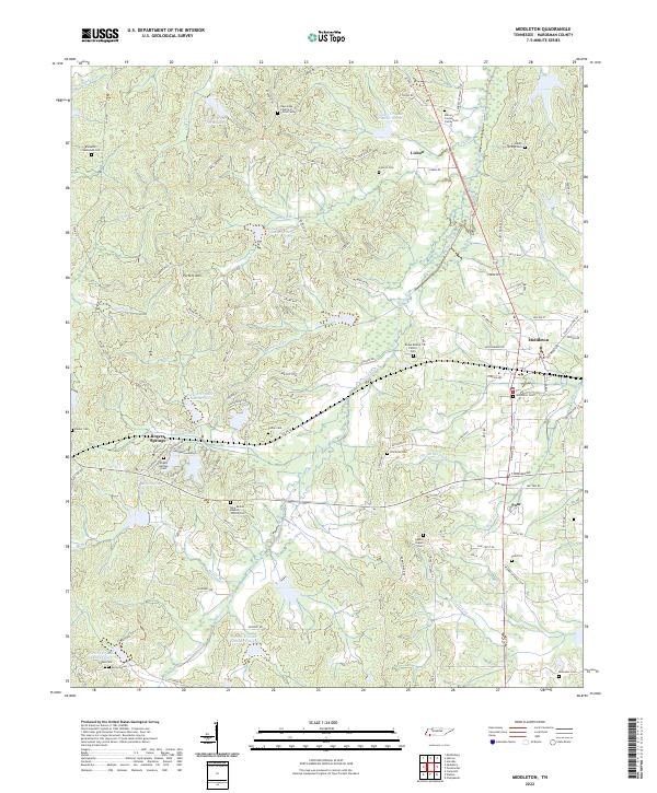 2022 Middleton2022 Print · USGSMiddleton and the rural reaches of Hardeman County are shown here in the early 2020s, dominated by the winding Porters Creek system. Genealogists can locate numerous family burial sites, such as the Bryan Bishop Family Cem, Luttrell Cem, and the Macon Jordan Family Cem.
End of results
Showing maps 1-10 of 10
Top cities near Poor
- Bolivar historical maps
- Walnut historical maps
- Middleton historical maps
- Hornsby historical maps
- Falkner historical maps
- Saulsbury historical maps
Frequently asked questions
- What are the different types of historical maps available for Poor?
- What is the oldest map of Poor?
- Where can I purchase historical maps of Poor for my home or office?
- Where can I download high-res historical maps of Poor?
- Are there historical topographic maps available for Poor?
- Is there historical aerial imagery available for Poor?
- Where are historical maps of Poor sourced from?