Old Maps of Serles, Tennessee for Hiking & Exploration
Hike through history with 10 historic maps of Serles. Explore old trails, ghost towns, and forgotten backroads — perfect for outdoor adventurers and local explorers.
- Rediscover forgotten places: Map out old mining camps, roads, and footpaths that no longer exist on modern maps.
- Layer with modern tools: Combine with LiDAR or satellite views to plan hikes through historical terrain.
- Made for exploration: Popular among hikers, overlanders, and local history lovers.
Use these maps to find adventure and explore the hidden past of Serles.
Serles, TN maps
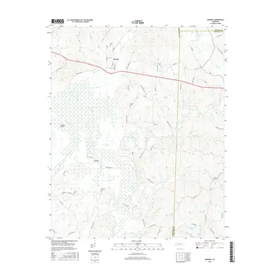
(10)- 1950 Map of Hornsby, 1973 Print
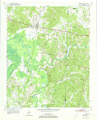 1950 Hornsby1973 Print · USGSHardeman County in the early fifties is captured here through its river-bottom landscapes and rural centers like Hornsby. Researchers can trace old family burial sites at Wyatt Cemetery, locate rural schools like Walnut Grove School, and follow the Gulf Mobile and Ohio rail line.3 unique versions available
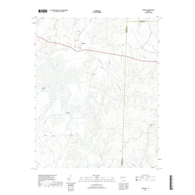
 - 1951 Map of Hornsby
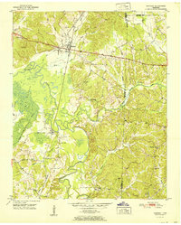 1951 Hornsby1951 Print · USGSThe area around Hornsby in the early fifties was a landscape of river bottoms and rail-side settlements. Researchers can trace family roots at Brints Chapel and Grantham Cem or follow the old Gulf Mobile and Ohio line.
 - 1956 Map of Blytheville, 1964 Print
 1956 Blytheville1964 Print · USGSWest Tennessee and the Arkansas Delta come alive in this mid-century survey of the river-and-rail corridor connecting Memphis to Jackson. Genealogists and historians can trace the rail lines of the Louisville and Nashville RR and locate landmarks like Western State Hospital or Fort Pillow State Prison Farm.2 unique versions available
 - 1959 Map of Blytheville
 1959 Blytheville1959 Print · USGSWest Tennessee and Northeast Arkansas meet along the river in the late fifties, during a period of steady industrial and agricultural growth. Genealogists can trace the rail corridors of the Illinois Central through Jackson or explore landmarks like Shiloh National Military Park and Fort Pillow State Prison.
 - 1986 Map of Selmer
 1986 Selmer1986 Print · USGSThe Tennessee River valley and the West Tennessee highlands come into focus in the mid-eighties, showing the region's unique intersection of Civil War history and modern infrastructure. Genealogists and researchers can trace family landmarks like Gillisses Mills, the campus of Freed-Hardeman College, and the hallowed grounds of Shiloh National Military Park.3 unique versions available
 - 2010 Map of Hornsby, 2010 Print
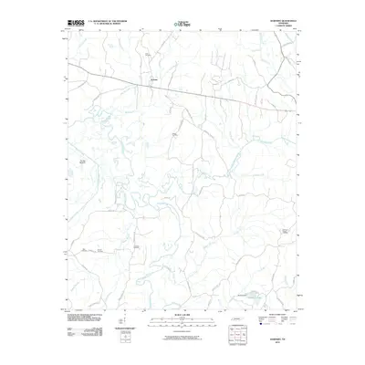 2010 Hornsby2010 Print · USGSCovers Serles, including Hornsby, Porters Creek, and other nearby areas
 - 2013 Map of Hornsby, 2013 Print
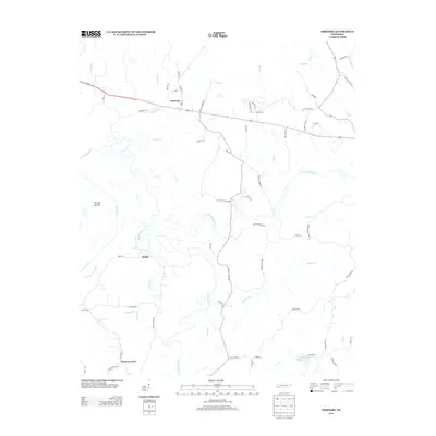 2013 Hornsby2013 Print · USGSCovers Serles, including Hornsby, Porters Creek, and other nearby areas
 - 2016 Map of Hornsby, 2016 Print
 2016 Hornsby2016 Print · USGSCovers Serles, including Hornsby, Porters Creek, and other nearby areas
 - 2019 Map of Hornsby, 2019 Print
 2019 Hornsby2019 Print · USGSCovers Serles, including Hornsby, Porters Creek, and other nearby areas
 - 2022 Map of Hornsby, 2022 Print
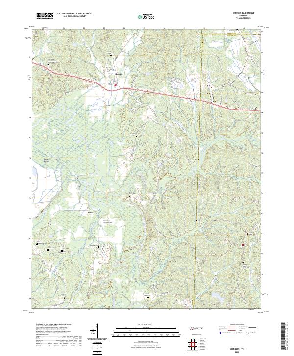 2022 Hornsby2022 Print · USGSHornsby and the Hatchie River bottomlands are captured here in the early twenty-first century, showing a landscape defined by wetlands and small rural communities. Researchers can locate numerous family-named landmarks and burial sites, including McCalip Chapel Cem, Brint Family Cem, and Serles.
End of results
Showing maps 1-10 of 10
Top cities near Serles
- Bolivar historical maps
- Selmer historical maps
- Bethel Springs historical maps
- Walnut historical maps
- Middleton historical maps
- Ramer historical maps
See more
Frequently asked questions
- What are the different types of historical maps available for Serles?
- What is the oldest map of Serles?
- Where can I purchase historical maps of Serles for my home or office?
- Where can I download high-res historical maps of Serles?
- Are there historical topographic maps available for Serles?
- Is there historical aerial imagery available for Serles?
- Where are historical maps of Serles sourced from?