Old Maps of Lowryville, Tennessee for Metal Detecting
Plan your next treasure hunt with 11 historic maps of Lowryville. Find old homesites, ghost towns, trails, and gathering spots that may be lost to time — perfect for identifying promising metal detecting locations.
- Locate forgotten sites: Uncover places like long-lost settlements, abandoned rail lines, or gathering spots.
- Plan better hunts: Use map overlays combined with LiDAR or satellite views to narrow in on historically rich areas.
- Made for detectorists: Thousands of hobbyists use these maps to discover relics, coins, and hidden history.
Use these historic maps to boost your research and find new opportunities beneath the surface of Lowryville.
Lowryville, TN maps
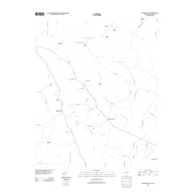
(11)- 1936 Map of Lowryville
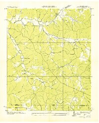 1936 Lowryville1936 Print · USGSThe Tennessee-Alabama borderlands come alive in this mid-1930s survey of the rural communities near Lowryville. Genealogists and historians can trace family roots through numerous local landmarks like Pollards Mill, Duncans Chapel Sch, and the uniquely named Faint Hope Cem.
 - 1949 Map of Lowryville, 1973 Print
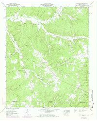 1949 Lowryville1973 Print · USGSThe Tennessee-Alabama borderlands come to life in this mid-century survey of the creeks and hollows south of Savannah. Researchers can trace family roots through numerous landmarks like Pollards Mill, Cherry Chapel Cem, and Walnut Grove.2 unique versions available
 - 1952 Map of Lowryville
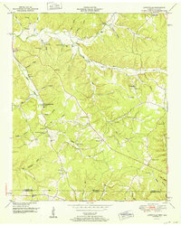 1952 Lowryville1952 Print · USGSCovers Lowryville, including Walnut Grove, Pollards Mill, and other nearby areas
 - 1956 Map of Blytheville, 1964 Print
 1956 Blytheville1964 Print · USGSWest Tennessee and the Arkansas Delta come alive in this mid-century survey of the river-and-rail corridor connecting Memphis to Jackson. Genealogists and historians can trace the rail lines of the Louisville and Nashville RR and locate landmarks like Western State Hospital or Fort Pillow State Prison Farm.2 unique versions available
 - 1959 Map of Blytheville
 1959 Blytheville1959 Print · USGSWest Tennessee and Northeast Arkansas meet along the river in the late fifties, during a period of steady industrial and agricultural growth. Genealogists can trace the rail corridors of the Illinois Central through Jackson or explore landmarks like Shiloh National Military Park and Fort Pillow State Prison.
 - 1986 Map of Selmer
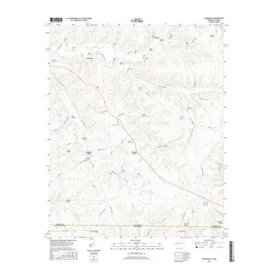
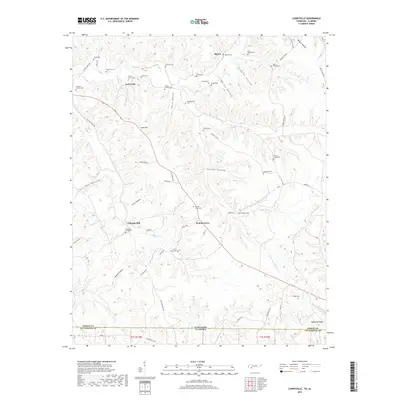
 1986 Selmer1986 Print · USGSThe Tennessee River valley and the West Tennessee highlands come into focus in the mid-eighties, showing the region's unique intersection of Civil War history and modern infrastructure. Genealogists and researchers can trace family landmarks like Gillisses Mills, the campus of Freed-Hardeman College, and the hallowed grounds of Shiloh National Military Park.3 unique versions available
 - 2010 Map of Lowryville, 2010 Print
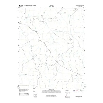 2010 Lowryville2010 Print · USGSCovers Lowryville, including Walnut Grove, Big Ivy, and other nearby areas
 - 2013 Map of Lowryville, 2013 Print
 2013 Lowryville2013 Print · USGSCovers Lowryville, including Walnut Grove, Big Ivy, and other nearby areas
 - 2016 Map of Lowryville, 2016 Print
 2016 Lowryville2016 Print · USGSCovers Lowryville, including Walnut Grove, Big Ivy, and other nearby areas
 - 2019 Map of Lowryville, 2019 Print
 2019 Lowryville2019 Print · USGSCovers Lowryville, including Walnut Grove, Big Ivy, and other nearby areas
 - 2022 Map of Lowryville, 2022 Print
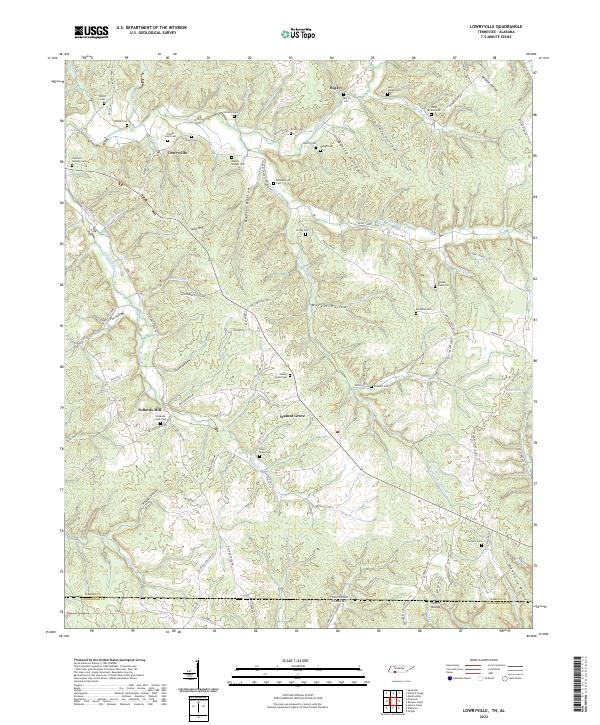 2022 Lowryville2022 Print · USGSStraddling the Tennessee and Alabama border in the 2020s, this area maintains its traditional rural settlement patterns. Genealogists can trace family names through dozens of sites like Franks Store Cem, Lowryville, and Faint Hope Cem.
End of results
Showing maps 1-11 of 11
Top cities near Lowryville
Frequently asked questions
- What are the different types of historical maps available for Lowryville?
- What is the oldest map of Lowryville?
- Where can I purchase historical maps of Lowryville for my home or office?
- Where can I download high-res historical maps of Lowryville?
- Are there historical topographic maps available for Lowryville?
- Is there historical aerial imagery available for Lowryville?
- Where are historical maps of Lowryville sourced from?