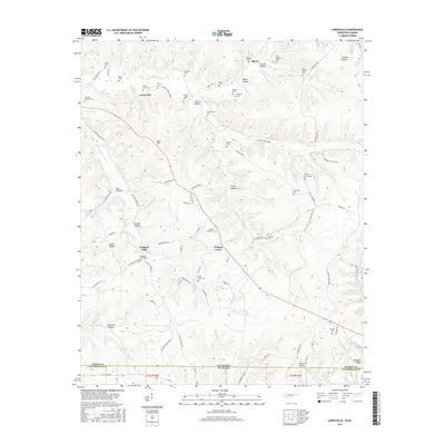
2016 Map of Lowryville
USGS Topo · Published 2016About this map
Lowryville and the surrounding borderlands of southern Tennessee and northern Alabama are characterized by a dense network of cemeteries and small rural clusters tucked into the hollows. The landscape is defined by the drainages of Horse Cr and Whites Cr, which carve through the terrain near Manbone Ridge. These waterways once supported local industry and agriculture, evidenced by the location of Pollards Mill along Holland Cr.
Find a feature on this map
98 named features on this map. Tap any name to fly to it.
Don’t see what you’re looking for? This feature index may not catch every label — zoom into the map to look around manually.
Map Details
Editions of this 2016 Lowryville Map
This is the sole edition of this map. No revisions or reprints were ever made.
Other maps of this area

1905 · Waynesboro
USGS Topo · 1:125,000

1911 · Iuka
USGS Topo · 1:48,000

1914 · Iuka
USGS Topo · 1:62,500

1924 · Gravelly Springs
USGS Topo · 1:48,000

1926 · Gravelly Springs
USGS Topo · 1:62,500

1935 · Wright
USGS Topo · 1:24,000

1936 · Savannah
USGS Topo · 1:24,000

1936 · Wolf Pit Ridge
USGS Topo · 1:24,000

1936 · Waterloo
USGS Topo · 1:24,000

1936 · Shaws
USGS Topo · 1:24,000