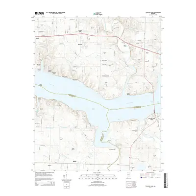
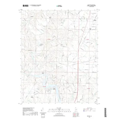
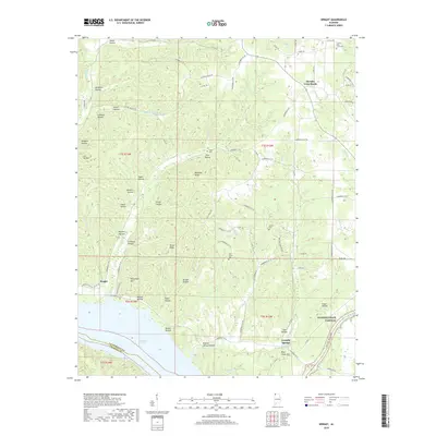
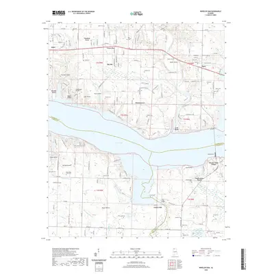
1935 Map of Wright
USGS Topo · Published 1935About this map
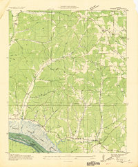
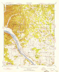
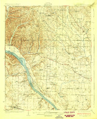
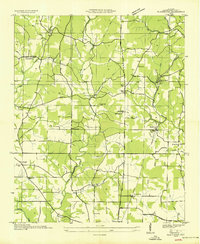
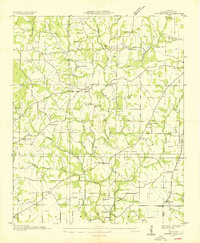
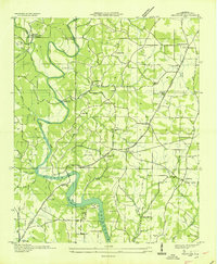
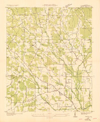
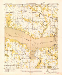
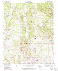
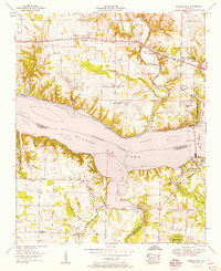
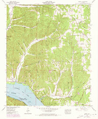
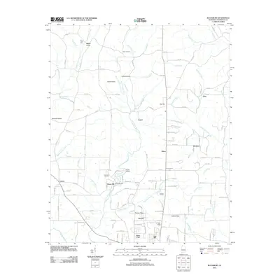
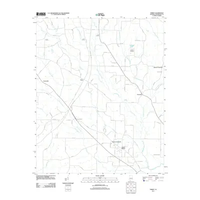
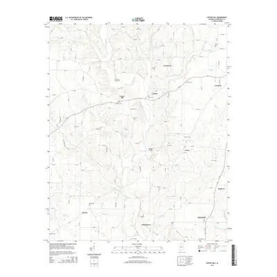
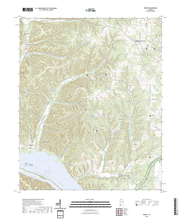
Pickwick Landing Reservoir and the Tennessee River dominate the southern landscape of this mid-1930s survey, capturing the region during a period of massive hydro-electric transition. The Tennessee Valley Authority projects are clearly visible, including the Colbert Shoals Canal and a proposed reservoir area that would fundamentally alter the local geography. North of the river, the map documents a rural network of homesteads and social centers like Youngs Store, Williams Chapel, and Dabney Sch.
Find a feature on this map
47 named features on this map. Tap any name to fly to it.
Don’t see what you’re looking for? This feature index may not catch every label — zoom into the map to look around manually.
Map Details
Editions of this 1935 Wright Map
This is the sole edition of this map. No revisions or reprints were ever made.
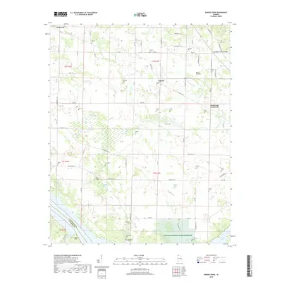
Historical Maps of Gravelly Springs Through Time
52 maps found
1924 Gravelly Springs
Lauderdale County, AL
1926 Gravelly Springs
Lauderdale County, AL
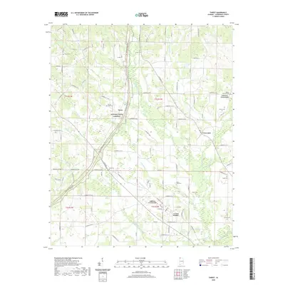
1935 Wright
Lauderdale County, AL
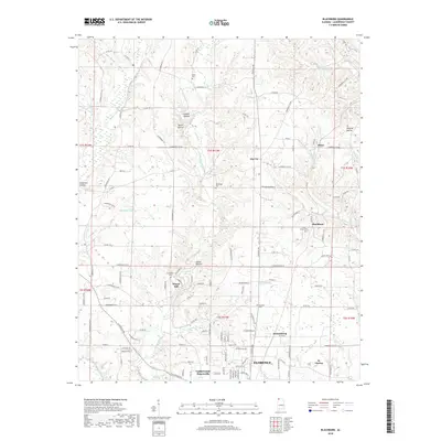
1936 Blackburn
Lauderdale County, AL
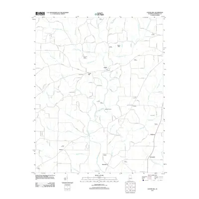
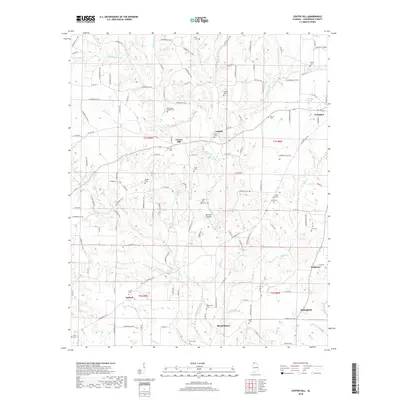
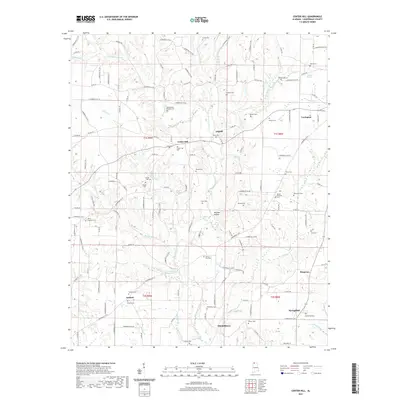
1936 Center Hill
Lauderdale County, AL
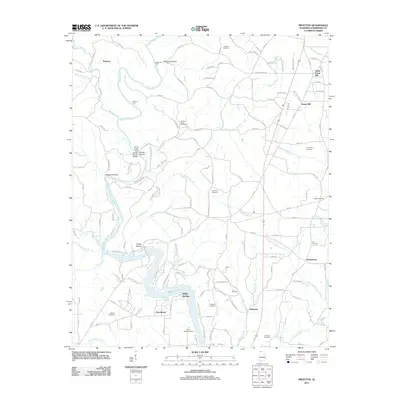
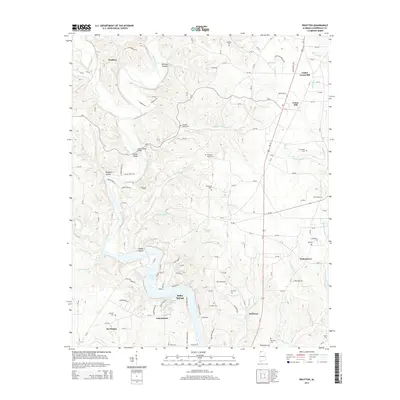
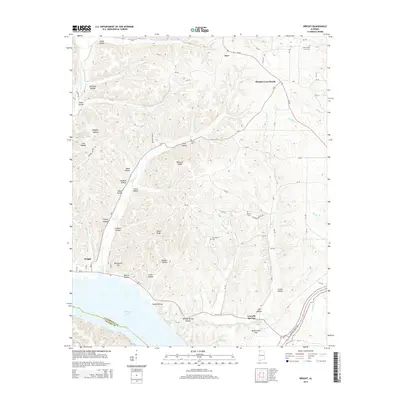
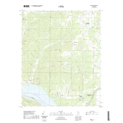
1936 Pruitton
Lauderdale County, AL

1936 Thorntontown
Lauderdale County, AL
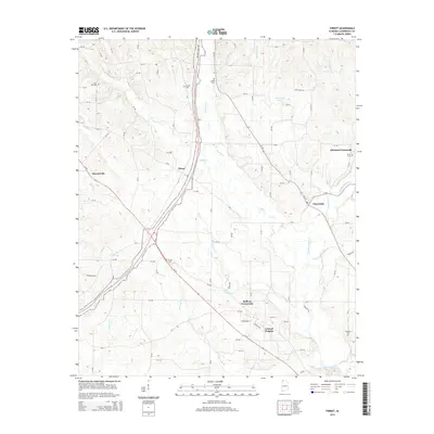
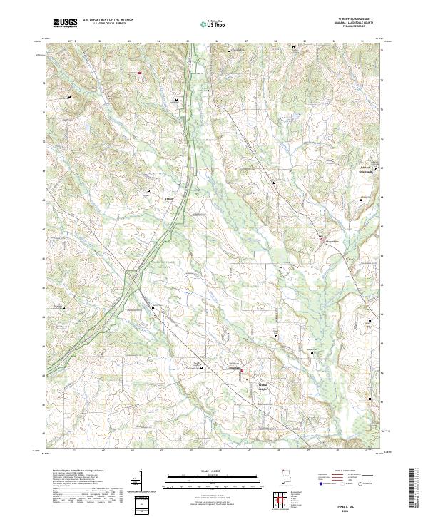
1936 Threet
Lauderdale County, AL
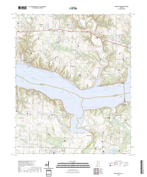
1936 Wheeler Dam
Lauderdale County, AL
1952 Blackburn
Lauderdale County, AL
1952 Center Hill
Lauderdale County, AL
1952 Pruitton
Lauderdale County, AL
1952 Wheeler Dam
Lauderdale County, AL
1953 Wright
Lauderdale County, AL
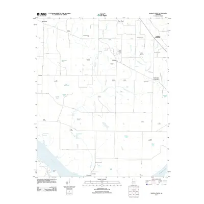
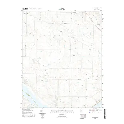
1954 Sinking Creek
Lauderdale County, AL
1954 Threet
Lauderdale County, AL
1971 Wheeler Dam
Lauderdale County, AL
2011 Blackburn
Lauderdale County, AL
2011 Center Hill
Lauderdale County, AL
2011 Pruitton
Lauderdale County, AL
2011 Sinking Creek
Lauderdale County, AL
2011 Threet
Lauderdale County, AL
2011 Wright
Lauderdale County, AL
2012 Wheeler Dam
Lauderdale County, AL
2014 Blackburn
Lauderdale County, AL
2014 Center Hill
Lauderdale County, AL
2014 Pruitton
Lauderdale County, AL
2014 Sinking Creek
Lauderdale County, AL
2014 Threet
Lauderdale County, AL
2014 Wheeler Dam
Lauderdale County, AL
2014 Wright
Lauderdale County, AL
2018 Blackburn
Lauderdale County, AL
2018 Center Hill
Lauderdale County, AL
2018 Pruitton
Lauderdale County, AL
2018 Sinking Creek
Lauderdale County, AL
2018 Threet
Lauderdale County, AL
2018 Wheeler Dam
Lauderdale County, AL
2018 Wright
Lauderdale County, AL
2020 Blackburn
Lauderdale County, AL
2020 Pruitton
Lauderdale County, AL
2020 Sinking Creek
Lauderdale County, AL
2020 Threet
Lauderdale County, AL
2020 Wheeler Dam
Lauderdale County, AL
2020 Wright
Lauderdale County, AL
2021 Center Hill
Lauderdale County, AL
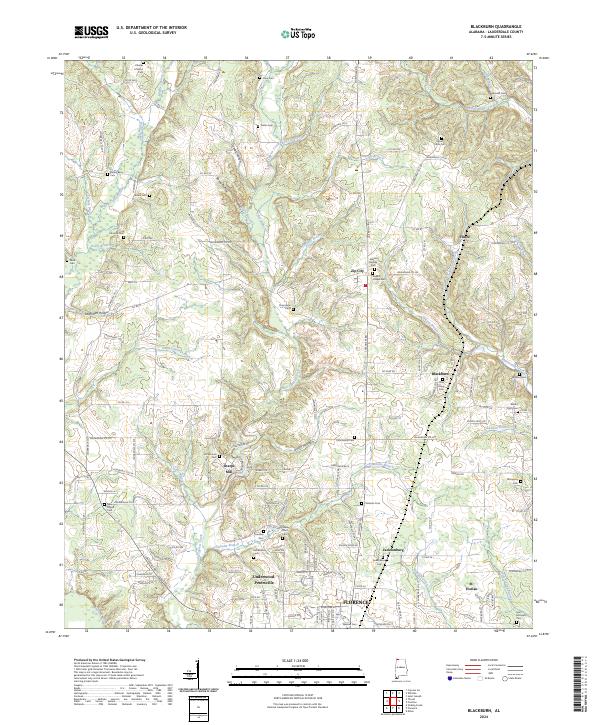
2024 Blackburn
Lauderdale County, AL
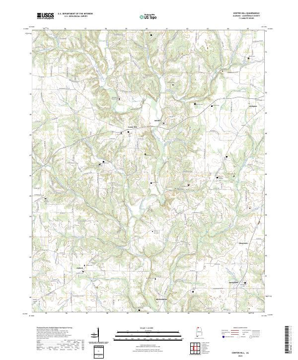
2024 Center Hill
Lauderdale County, AL
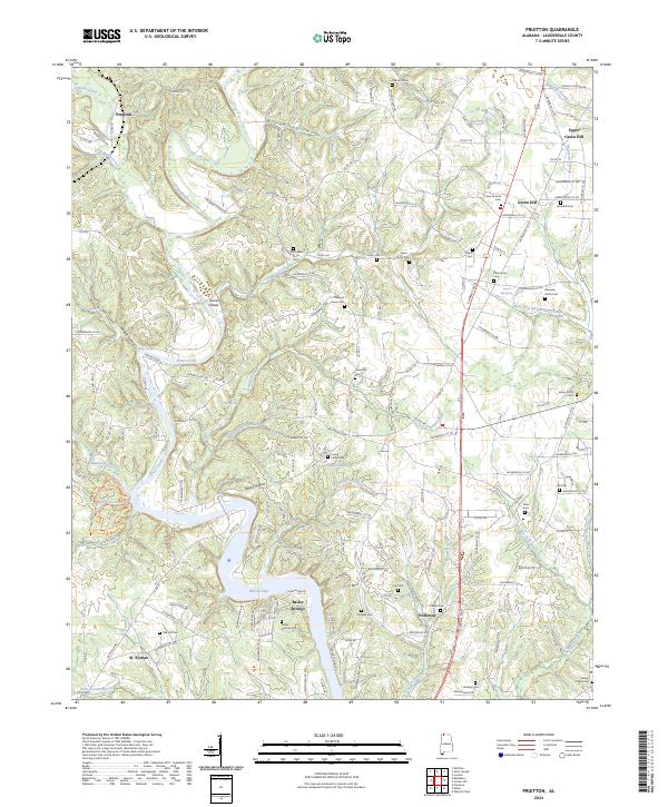
2024 Pruitton
Lauderdale County, AL
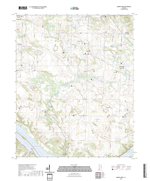
2024 Sinking Creek
Lauderdale County, AL
2024 Threet
Lauderdale County, AL
2024 Wheeler Dam
Lauderdale County, AL
2024 Wright
Lauderdale County, AL