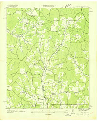
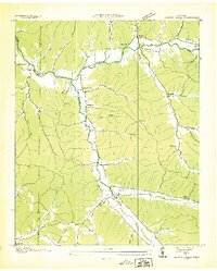
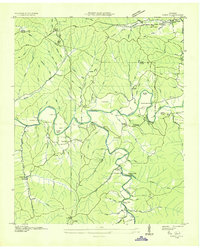
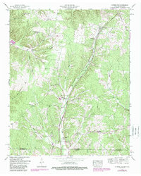
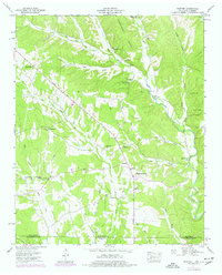
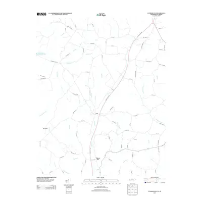
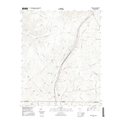
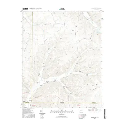
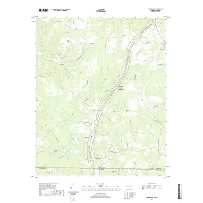
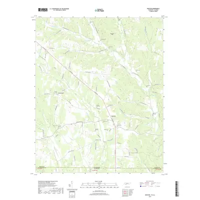
1936 Map of Cypress Inn
USGS Topo · Published 1936About this map
The Natchez Trace bisects this landscape during the mid-1930s, winding through a rural corridor defined by small family farmsteads and creek-bottom communities. Near the center of the sheet, Cypress Inn and Rose Gin serve as primary gathering points, while the historic Chisholm Highway Road No 13 cuts across the northeastern corner. The area is characterized by a high density of country schools and small family burial grounds, reflecting a deeply rooted local genealogy before modern consolidation.
Find a feature on this map
47 named features on this map. Tap any name to fly to it.
Don’t see what you’re looking for? This feature index may not catch every label — zoom into the map to look around manually.
Map Details
Editions of this 1936 Cypress Inn Map
This is the sole edition of this map. No revisions or reprints were ever made.
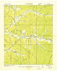
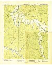
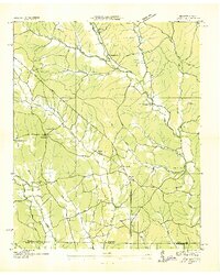
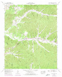
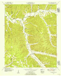
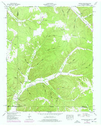
Historical Maps of Holt Through Time
63 maps found
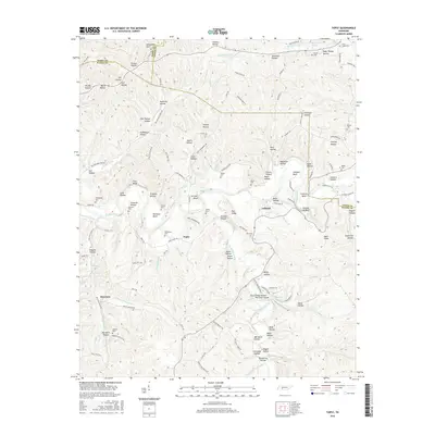
1936 Cypress Inn
Wayne County, TN
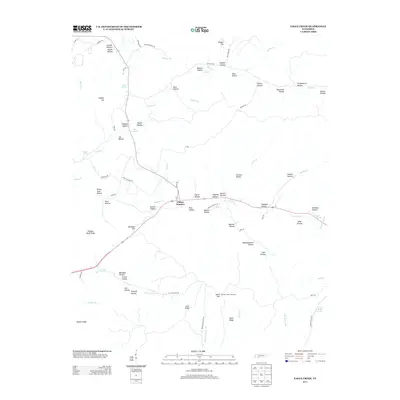
1936 Eagle Creek
Wayne County, TN
1936 Leatherwood
Wayne County, TN
1936 Light
Wayne County, TN
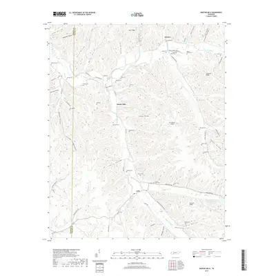
1936 Martins Mills
Wayne County, TN
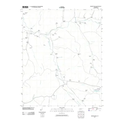
1936 Negro Hollow
Wayne County, TN
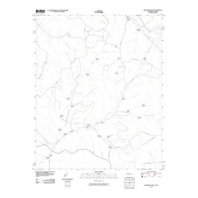
1936 Ransom Stand
Wayne County, TN
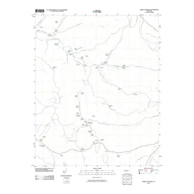
1936 Three Churches
Wayne County, TN
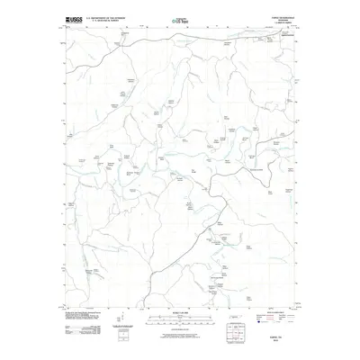
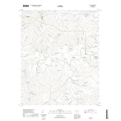
1936 Topsy
Wayne County, TN
1949 Eagle Creek
Wayne County, TN
1950 Martins Mills
Wayne County, TN
1950 Ransom Stand
Wayne County, TN
1951 Cypress Inn
Wayne County, TN
1951 Leatherwood
Wayne County, TN

1951 Three Churches
Wayne County, TN
1951 Topsy
Wayne County, TN
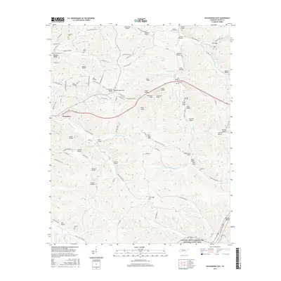
1951 Waynesboro East
Wayne County, TN
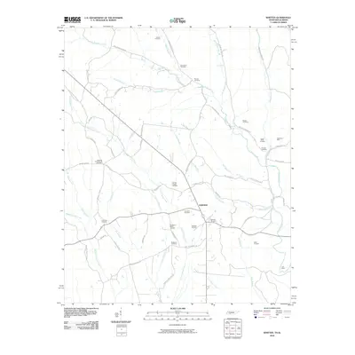
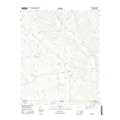
1951 Whitten
Wayne County, TN
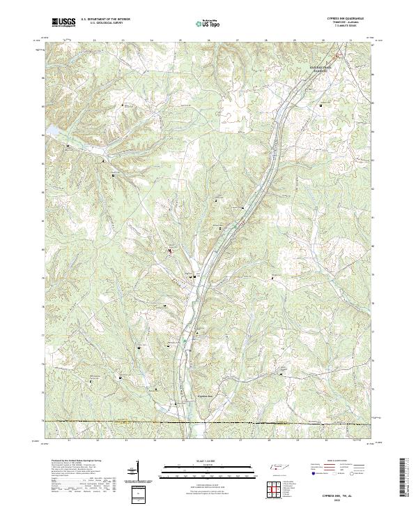
2010 Cypress Inn
Wayne County, TN
2010 Eagle Creek
Wayne County, TN
2010 Leatherwood
Wayne County, TN
2010 Martins Mills
Wayne County, TN
2010 Ransom Stand
Wayne County, TN
2010 Three Churches
Wayne County, TN
2010 Topsy
Wayne County, TN
2010 Waynesboro East
Wayne County, TN
2010 Whitten
Wayne County, TN
2013 Cypress Inn
Wayne County, TN
2013 Eagle Creek
Wayne County, TN
2013 Leatherwood
Wayne County, TN

2013 Martins Mills
Wayne County, TN

2013 Ransom Stand
Wayne County, TN
2013 Three Churches
Wayne County, TN
2013 Topsy
Wayne County, TN

2013 Waynesboro East
Wayne County, TN

2013 Whitten
Wayne County, TN
2016 Cypress Inn
Wayne County, TN

2016 Eagle Creek
Wayne County, TN

2016 Leatherwood
Wayne County, TN

2016 Martins Mills
Wayne County, TN
2016 Ransom Stand
Wayne County, TN

2016 Three Churches
Wayne County, TN
2016 Topsy
Wayne County, TN
2016 Waynesboro East
Wayne County, TN
2016 Whitten
Wayne County, TN
2019 Cypress Inn
Wayne County, TN

2019 Eagle Creek
Wayne County, TN

2019 Leatherwood
Wayne County, TN
2019 Martins Mills
Wayne County, TN

2019 Ransom Stand
Wayne County, TN

2019 Three Churches
Wayne County, TN
2019 Topsy
Wayne County, TN
2019 Waynesboro East
Wayne County, TN
2019 Whitten
Wayne County, TN
2022 Cypress Inn
Wayne County, TN
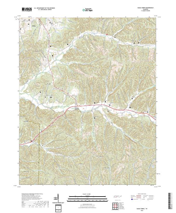
2022 Eagle Creek
Wayne County, TN
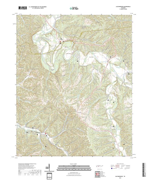
2022 Leatherwood
Wayne County, TN
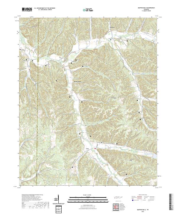
2022 Martins Mills
Wayne County, TN
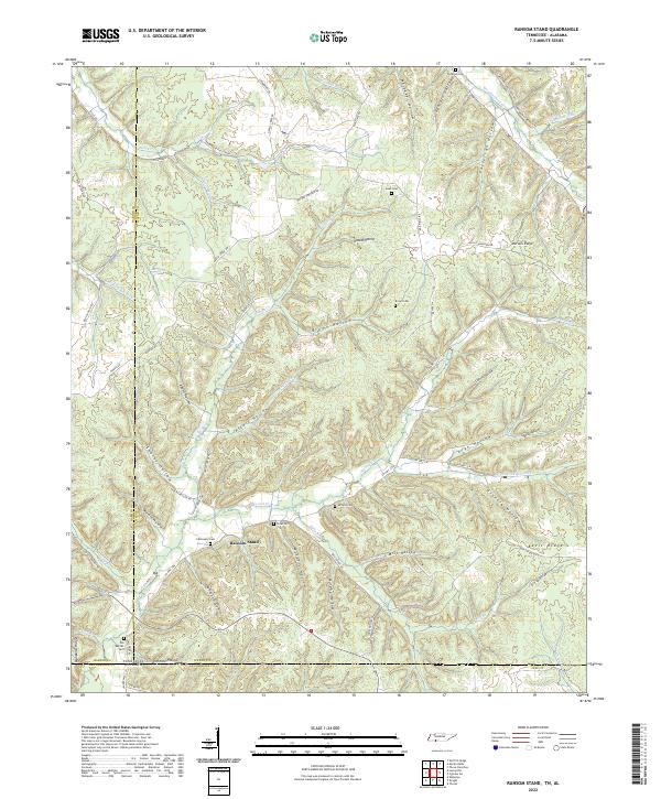
2022 Ransom Stand
Wayne County, TN

2022 Three Churches
Wayne County, TN
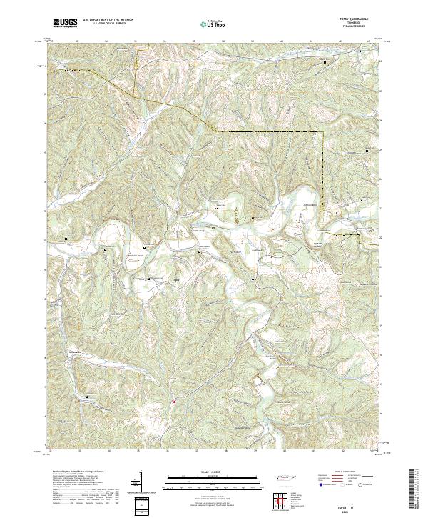
2022 Topsy
Wayne County, TN
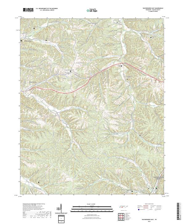
2022 Waynesboro East
Wayne County, TN
2022 Whitten
Wayne County, TN