Old Maps of Bulls Gap, Tennessee for Academic Research
Study the evolution of Bulls Gap with 26 high-resolution historic maps. Whether you're teaching, researching, or modeling changes in land use, these maps provide essential visual documentation of urban, environmental, and geographic change.
- Analyze long-term change: Track patterns in development, transportation, and natural features.
- Ideal for environmental or urban studies: Support academic projects with primary historical map data.
- Use in the classroom or lab: Educators and researchers rely on these maps to bring historical context to life.
These maps are a powerful tool for teaching, research, and visualizing how Bulls Gap has changed over the decades.
Bulls Gap, TN maps
(26)- 1883 Map of Morristown
 1883 Morristown1883 Print · USGSEast Tennessee in the 1880s is defined by the convergence of mountain ridges and the vital rail corridor through Morristown. Researchers can trace the early industrial landscape of the region through landmarks like Witt's Foundry, Tate's Springs, and the historic Bean's Station.
 - 1893 Map of Morristown
 1893 Morristown1893 Print · USGSEast Tennessee in the 1890s was a landscape of deep mountain ridges and vital rail junctions centered around Morristown. Researchers can trace the nineteenth-century river economy through numerous crossings like Cloud Ferry and find early industry at Lotspeachy Mill.
 - 1895 Map of Morristown
 1895 Morristown1895 Print · USGSThe East Tennessee ridge-and-valley country comes alive in the late nineteenth century as a hub of rail and river transit. Trace the routes of old Evans Ferry or locate vanished stops along the Southern R.R. near Morristown and Bull Gap.5 unique versions available
 - 1935 Map of Rogersville
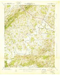
 1935 Rogersville1935 Print · USGSHawkins and Greene Counties come alive in the mid-1930s, showing a landscape of ridge-top schools and river-bottom farms. Genealogists can trace family footprints near Pressmans Home, Bulls Gap, and local centers like Macedonia Ch.
 - 1935 Map of Mohawk
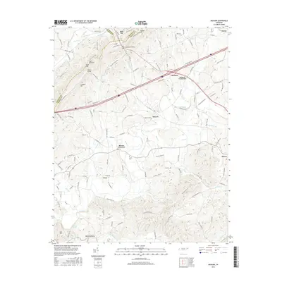
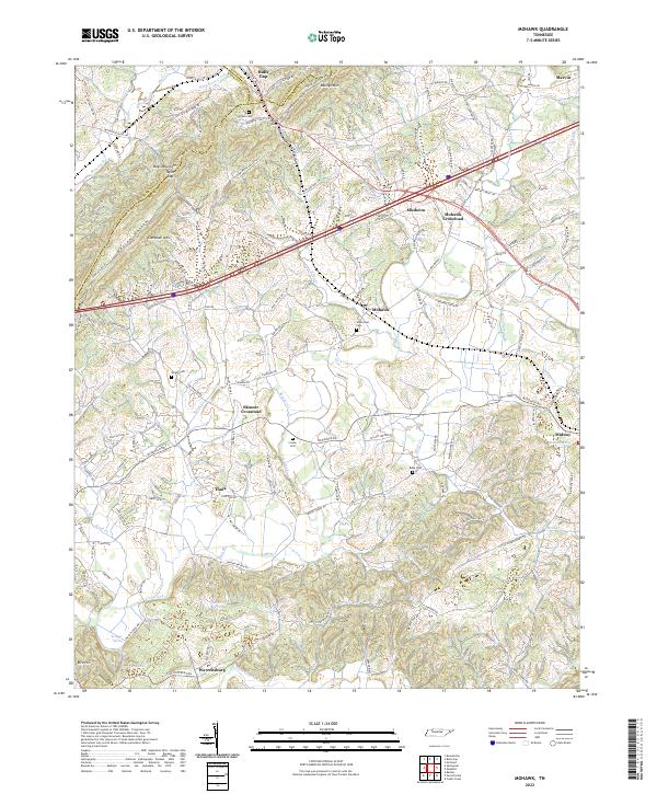
 1935 Mohawk1935 Print · USGSGreene County was a landscape of small milling towns and rail-side junctions during the mid-1930s. Researchers can locate vanished landmarks like the Mohawk Roller Mill, the rural Sinking Springs Sch, and family sites near Warrensburg.
 - 1935 Map of Bulls Gap
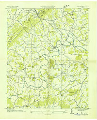
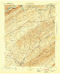
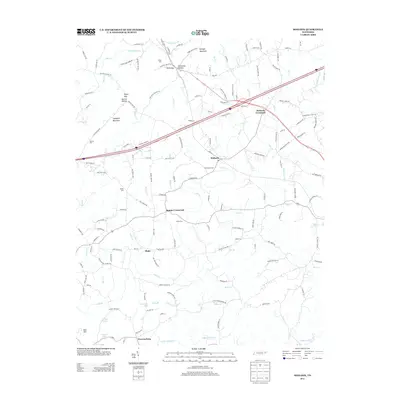
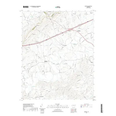
 1935 Bulls Gap1935 Print · USGSBulls Gap and the surrounding East Tennessee valley appear here in the mid-1930s as a landscape of rural junctions and river crossings. Researchers can trace family history at Morrissetts Chapel, locate the old MELENDY FERRY on the HOLSTON RIVER, or explore rail-side hamlets like Persia and St Clair.2 unique versions available
 - 1935 Map of Small
 1935 Small1935 Print · USGSEast Tennessee river life in the mid-1930s centered on the fertile valley between the Bays Mountains and the French Broad River. Researchers can trace ancestral locations at Mohawk, Parrottsville, and dozens of rural sites like Alshieys Mill or Bethesda Ch.
 - 1939 Map of Mohawk, 1957 Print
 1939 Mohawk1957 Print · USGSEast Tennessee life in the late thirties is captured here at the intersection of Greene, Hamblen, and Hawkins counties. Trace ancestral roots through localized landmarks like Darrow Mill, the Crosby Cem, and numerous country schools such as Salem Sch.4 unique versions available
 - 1940 Map of Mohawk
 1940 Mohawk1940 Print · USGSEast Tennessee at the dawn of the 1940s reveals a landscape of tight-knit rural communities connected by the SOUTHERN railroad. Genealogists can locate family landmarks like Darrow Mill, Crosby Cem, and several local schoolhouses like Salem Sch.
 - 1940 Map of Bulls Gap
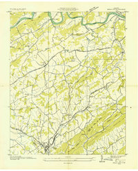
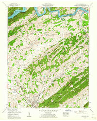
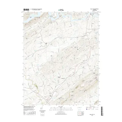
 1940 Bulls Gap1940 Print · USGSBulls Gap and the Hawkins County countryside are captured here just before the 1940s, showing a landscape defined by the Southern railroad and river life. Genealogists can trace family names across dozens of sites like Mcbride Cem, Austins Mill, and the Price Ferry on the Holston River.2 unique versions available
 - 1955 Map of Johnson City
 1955 Johnson City1955 Print · USGSEast Tennessee and the bordering highlands of Virginia and Kentucky appear here during the post-war industrial boom. You can trace the complex network of mountain ridges and new TVA lakes, from Johnson City to the coalfields near Middlesboro and Lynch.
 - 1957 Map of Johnson City, 1966 Print
 1957 Johnson City1966 Print · USGSUpper East Tennessee and Southwest Virginia are shown here during the mid-sixties transition of the Appalachians. Researchers can trace the industrial rail hubs of Kingsport, the sprawling waters of Cherokee Lake, and the historic Cumberland Gap.
 - 1960 Map of Johnson City
 1960 Johnson City1960 Print · USGSUpper East Tennessee and the surrounding tri-state area are shown in the mid-fifties during the height of the TVA reservoir era. Trace the industrial rail lines of the Southern and Louisville and Nashville between Kingsport and Johnson City.
 - 1962 Map of Bulls Gap, 1964 Print
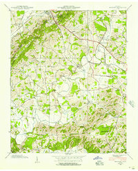
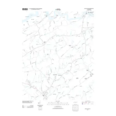
 1962 Bulls Gap1964 Print · USGSEast Tennessee life in the early sixties centers on the rail hub of Bulls Gap and the rising waters of Cherokee Lake. Genealogists can trace family footprints through dozens of sites like Price Cem, Austins Mill, and Liberty Hill Church.2 unique versions available
 - 1963 Map of Johnson City
 1963 Johnson City1963 Print · USGSThe Tri-Cities and the surrounding Appalachian ridges are shown in detail during the early sixties, highlighting the era's vital rail and river networks. Genealogists and historians can trace the routes of the Clinchfield RR and locate settlements from Rogersville to Elizabethton.
 - 1981 Map of Morristown
 1981 Morristown1981 Print · USGSEast Tennessee's ridge-and-valley corridor is captured here in the early eighties, showing the region's transformation by TVA reservoirs. Genealogists and historians can trace family locations near Alpha Ch, follow the Southern Railway, or locate the Young Mine.
 - 2010 Map of Bulls Gap, 2010 Print
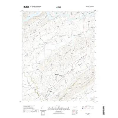
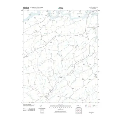 2010 Bulls Gap2010 Print · USGSCovers Bulls Gap, including Pleasant Hill, Saint Clair, and other nearby areas
 - 2010 Map of Mohawk, 2010 Print
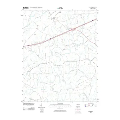 2010 Mohawk2010 Print · USGSCovers Bulls Gap, including Mosheim, Warrensburg, and other nearby areas
 - 2013 Map of Mohawk, 2013 Print
 2013 Mohawk2013 Print · USGSCovers Bulls Gap, including Mosheim, Warrensburg, and other nearby areas
 - 2013 Map of Bulls Gap, 2013 Print
 2013 Bulls Gap2013 Print · USGSCovers Bulls Gap, including Pleasant Hill, Saint Clair, and other nearby areas
 - 2016 Map of Mohawk, 2016 Print
 2016 Mohawk2016 Print · USGSCovers Bulls Gap, including Mosheim, Warrensburg, and other nearby areas
 - 2016 Map of Bulls Gap, 2016 Print
 2016 Bulls Gap2016 Print · USGSCovers Bulls Gap, including Pleasant Hill, Saint Clair, and other nearby areas
 - 2019 Map of Mohawk, 2019 Print
 2019 Mohawk2019 Print · USGSCovers Bulls Gap, including Mosheim, Warrensburg, and other nearby areas
 - 2019 Map of Bulls Gap, 2019 Print
 2019 Bulls Gap2019 Print · USGSCovers Bulls Gap, including Pleasant Hill, Saint Clair, and other nearby areas
 - 2022 Map of Mohawk, 2022 Print
 2022 Mohawk2022 Print · USGSThe East Tennessee ridge-and-valley landscape near the Greene-Hamblen border is captured here in recent decades. Researchers can trace family history through numerous landmarks like Wisecarver Cemetery, Bibles Chapel, and the community at Bulls Gap.
Showing maps 1-25 of 26
Top cities near Bulls Gap
- Morristown historical maps
- Greeneville historical maps
- Rogersville historical maps
- Bean Station historical maps
- White Pine historical maps
- Mosheim historical maps
See more
Frequently asked questions
- What are the different types of historical maps available for Bulls Gap?
- What is the oldest map of Bulls Gap?
- Where can I purchase historical maps of Bulls Gap for my home or office?
- Where can I download high-res historical maps of Bulls Gap?
- Are there historical topographic maps available for Bulls Gap?
- Is there historical aerial imagery available for Bulls Gap?
- Where are historical maps of Bulls Gap sourced from?