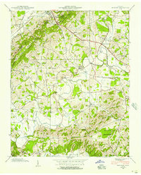
1939 Map of Mohawk
USGS Topo · Published 1957About this map
Bays Mountain dominates the western landscape of this 1939 survey, casting its shadow over a rural agricultural corridor where Greene, Hamblen, and Hawkins counties converge. The Southern railroad and the Andrew Johnson Highway serve as the primary arteries for commerce through Bulls Gap and Mohawk, connecting dispersed farmsteads to wider markets. This era of Tennessee history is etched into the landscape through its numerous small community centers, often centered around family names and localized institutions.
Find a feature on this map
65 named features on this map. Tap any name to fly to it.
Don’t see what you’re looking for? This feature index may not catch every label — zoom into the map to look around manually.
Map Details
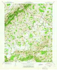
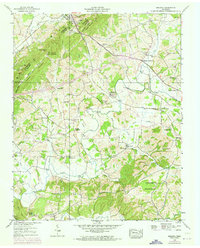
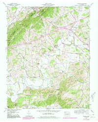
Editions of this 1939 Mohawk Map
4 editions found
Other maps of this area

1883 · Morristown
USGS Topo · 1:125,000

1892 · Greeneville
USGS Topo · 1:125,000

1893 · Morristown
USGS Topo · 1:125,000

1895 · Morristown
USGS Topo · 1:125,000

1896 · Greeneville
USGS Topo · 1:125,000

1904 · Greeneville
USGS Topo · 1:125,000

1935 · Surgoinsville
USGS Topo · 1:48,000

1935 · Rogersville
USGS Topo · 1:48,000

1935 · Parrottsville
USGS Topo · 1:24,000

1935 · McCloud
USGS Topo · 1:24,000