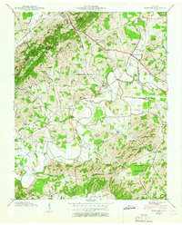
1939 Map of Mohawk
USGS Topo · Published 1965About this map
Bulls Gap serves as a critical junction for the Southern RR and the Andrew Johnson Highway, marking a point where transport routes navigate the breaks in Bays Mountain. This 1939 field examination by the Tennessee Valley Authority reveals a landscape of ridge-and-valley agriculture defined by the winding course of Lick Creek and its many tributaries like Mink Creek and Seven Springs Branch. The rural character of the era is preserved through a dense network of country schools and churches, including Reeds Sch, Beech Grove Sch, and Phillippi Ch.
Find a feature on this map
57 named features on this map. Tap any name to fly to it.
Don’t see what you’re looking for? This feature index may not catch every label — zoom into the map to look around manually.
Map Details
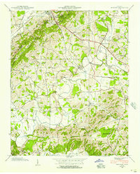
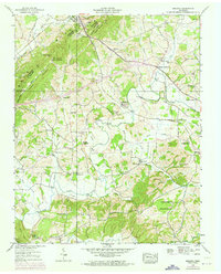
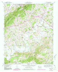
Editions of this 1939 Mohawk Map
4 editions found
Other maps of this area

1883 · Morristown
USGS Topo · 1:125,000

1892 · Greeneville
USGS Topo · 1:125,000

1893 · Morristown
USGS Topo · 1:125,000

1895 · Morristown
USGS Topo · 1:125,000

1896 · Greeneville
USGS Topo · 1:125,000

1904 · Greeneville
USGS Topo · 1:125,000

1935 · Surgoinsville
USGS Topo · 1:48,000

1935 · Rogersville
USGS Topo · 1:48,000

1935 · Parrottsville
USGS Topo · 1:24,000

1935 · McCloud
USGS Topo · 1:24,000