Old Maps of Church Hill, Tennessee for Hiking & Exploration
Hike through history with 43 historic maps of Church Hill. Explore old trails, ghost towns, and forgotten backroads — perfect for outdoor adventurers and local explorers.
- Rediscover forgotten places: Map out old mining camps, roads, and footpaths that no longer exist on modern maps.
- Layer with modern tools: Combine with LiDAR or satellite views to plan hikes through historical terrain.
- Made for exploration: Popular among hikers, overlanders, and local history lovers.
Use these maps to find adventure and explore the hidden past of Church Hill.
Church Hill, TN maps
(43)- 1892 Map of Greeneville
 1892 Greeneville1892 Print · USGSEast Tennessee in the late nineteenth century was a landscape of river-crossing ferries and mountain gaps centered on Greeneville. Genealogists and historians can trace the early rail corridor of the East Tennessee Virginia and Georgia R. R. and locate family-named sites like Britton Ferry and Evans X Rds.
 - 1894 Map of Estillville, 1909 Print
 1894 Estillville1909 Print · USGSThe Appalachian highlands at the turn of the century show a landscape of isolated mountain hollows and emerging rail hubs. Genealogists can trace family footprints across river crossings like Speer Ferry and vanished industry at Zion Mills or Brick Store.3 unique versions available
 - 1896 Map of Greeneville
 1896 Greeneville1896 Print · USGSUpper East Tennessee thrives in the late nineteenth century as a hub of rail travel and river commerce centered around the county seat. Genealogists can trace family roots through numerous crossroads and post offices like Chissolms P. O., Hawes X Roads, and Britton Ferry.2 unique versions available
 - 1904 Map of Greeneville
 1904 Greeneville1904 Print · USGSEast Tennessee at the turn of the century reveals a land of ridge-valley farms and early educational centers. Genealogists can trace family roots through historic settlements like Surgoinsville, early institutions like Washington College, and landmarks such as Bashors Mill.4 unique versions available
 - 1935 Map of Surgoinsville
 1935 Surgoinsville1935 Print · USGSHawkins and Greene counties are shown in the mid-1930s as the Tennessee Valley Authority began documenting the Holston River corridor. Genealogists can trace early homesteads and landmarks like Hennard Mill, Alumwell Academy, and Beech Creek Cem among the numerous mountain hollows.
 - 1935 Map of Lovelace
 1935 Lovelace1935 Print · USGSHawkins and Sullivan counties are captured here in the mid-thirties, showing a landscape of ridge-top beacons and creek-side mills. Researchers can trace rural family life through landmarks like Dykes Mill, Mountain View Sch, and the Airway Beacon atop the peaks.
 - 1935 Map of Moggasin
 1935 Moggasin1935 Print · USGSThe Virginia-Tennessee borderlands appear here in the mid-1930s, showing the early industrial growth of Kingsport and Gate City. Trace family roots at Wolfe Cem or locate old mills like Speers Ferry Mill along the Clinch River.
 - 1935 Map of Stonypoint
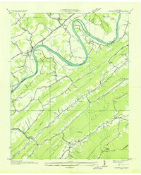 1935 Stonypoint1935 Print · USGSHawkins and Greene counties in the mid-1930s are captured here as the Tennessee Valley Authority began its regional transformation. Researchers can trace ancestral lands near Surgoinsville, locate old schools like Maxwell Academy, or find the County Ferry crossing the Holston River.
 - 1935 Map of Plum Grove
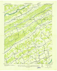 1935 Plum Grove1935 Print · USGSCrossing the Tennessee and Virginia border in the mid-1930s, this survey documents the ridge-and-valley settlements of Hawkins and Scott counties. Genealogists can locate family-named sites like Fansler and Wildcat or trace roots at Amos Chapel and Oak Lawn School.
 - 1935 Map of Fall Branch
 1935 Fall Branch1935 Print · USGSNortheast Tennessee in the mid-thirties shows a rural landscape of ridges and crossroads at the junction of four counties. Trace family history through dozens of local landmarks like Kincheloe Mill, Evening Star Sch, and Cedar Chapel.
 - 1935 Map of Church Hill
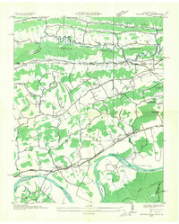 1935 Church Hill1935 Print · USGSThe Hawkins County countryside and the Holston River valley are captured here in the mid-1930s during a period of significant rural development. Genealogists and local historians can trace family locations near Old Union Ch, find the vanished site of Bradshaw Mill, and locate long-standing river crossings like Solitude Ford.
 - 1939 Map of Plum Grove
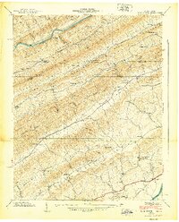 1939 Plum Grove1939 Print · USGSThe Tennessee-Virginia borderlands in the late thirties reveal a landscape of mountain ridges and narrow farm valleys. Genealogists and local historians can trace family locations through numerous rural landmarks like Amis Chapel, Chalybeate Springs, and the New Canton Sch.5 unique versions available
 - 1939 Map of Church Hill
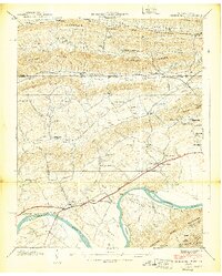 1939 Church Hill1939 Print · USGSThe Tennessee and Virginia borderlands come alive in this late Depression-era survey, showing the river-bound life along the Holston River. Genealogists and researchers can trace local landmarks like Bradshaw Mill, the Cassard post office, and Old Union Ch.6 unique versions available
 - 1939 Map of Lovelace
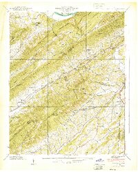 1939 Lovelace1939 Print · USGSNortheast Tennessee in the late thirties is captured here at the intersection of Hawkins and Sullivan counties. Genealogists and historians can trace family locations through sites like Dykes Mill, Yankee Cem, and schools such as Solomon Temple Sch.4 unique versions available
 - 1939 Map of Stony Point, 1954 Print
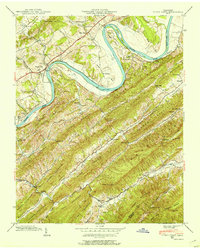 1939 Stony Point1954 Print · USGSHawkins and Greene Counties come alive in this late-depression era survey, defined by the winding Holston River and the steep ridges of the Appalachians. Researchers can trace the routes of the Southern Railway, find small mountain schools like Glendale Sch, and locate the Lookout Tower near the Lumber RR.3 unique versions available
 - 1940 Map of Stony Point
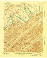 1940 Stony Point1940 Print · USGSHawkins County is captured here just before the mid-century, where the winding Holston River meets a landscape of steep mountain ridges and fertile valley bottoms. Genealogists and local historians can locate Surgoinsville, trace the old Southern Railroad, and find rural landmarks like Mowls Mill and Maxwell Academy.
 - 1955 Map of Johnson City
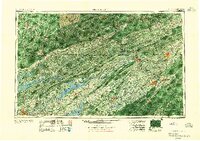 1955 Johnson City1955 Print · USGSEast Tennessee and the bordering highlands of Virginia and Kentucky appear here during the post-war industrial boom. You can trace the complex network of mountain ridges and new TVA lakes, from Johnson City to the coalfields near Middlesboro and Lynch.
 - 1957 Map of Johnson City, 1966 Print
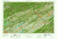 1957 Johnson City1966 Print · USGSUpper East Tennessee and Southwest Virginia are shown here during the mid-sixties transition of the Appalachians. Researchers can trace the industrial rail hubs of Kingsport, the sprawling waters of Cherokee Lake, and the historic Cumberland Gap.
 - 1959 Map of Church Hill, 1960 Print
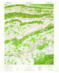 1959 Church Hill1960 Print · USGSHawkins County in the late fifties shows a landscape of river-bend industry and deep-rooted valley settlements. Genealogists can trace family plots like Patterson Cem and Hord Cem, or locate landmarks like Old Union Church and Bradshaw Mill.5 unique versions available
 - 1960 Map of Johnson City
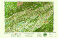 1960 Johnson City1960 Print · USGSUpper East Tennessee and the surrounding tri-state area are shown in the mid-fifties during the height of the TVA reservoir era. Trace the industrial rail lines of the Southern and Louisville and Nashville between Kingsport and Johnson City.
 - 1963 Map of Johnson City
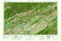 1963 Johnson City1963 Print · USGSThe Tri-Cities and the surrounding Appalachian ridges are shown in detail during the early sixties, highlighting the era's vital rail and river networks. Genealogists and historians can trace the routes of the Clinchfield RR and locate settlements from Rogersville to Elizabethton.
 - 1980 Map of Johnson City, 1981 Print
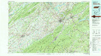 1980 Johnson City1981 Print · USGSEast Tennessee in the early eighties shows a landscape of mountain ridges and growing valley towns. Trace local history through Washington College and the Andrew Johnson National Cemetery, or find sites like David Crockett Birthplace State Park.
 - 1981 Map of Bristol
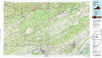 1981 Bristol1981 Print · USGSAppalachia and the Tri-Cities region are shown at a peak of industrial and rail development in the early eighties. Researchers can trace the Clinchfield Railroad through the mountains or find local landmarks like King College and the Holston Army Ammunition Plant.2 unique versions available
 - 2010 Map of Lovelace, 2010 Print
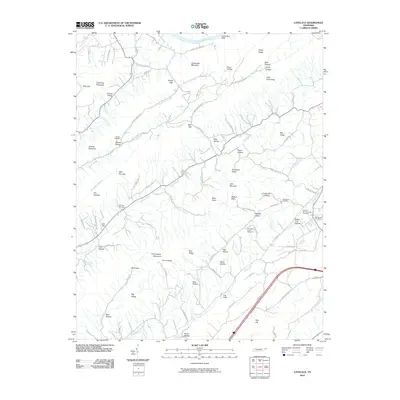 2010 Lovelace2010 Print · USGSSullivan County remains a landscape of high ridges and family-run hollows at the start of the new millennium. Researchers can trace historic homesteads and burial sites across Goshen Valley, from the Light Mill to the Old Fall Branch-Hooper Cemetery.
 - 2010 Map of Stony Point, 2010 Print
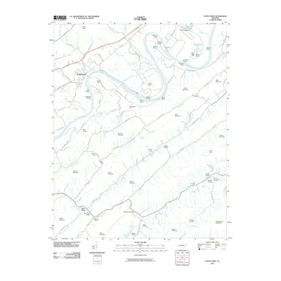 2010 Stony Point2010 Print · USGSHawkins County in the early twenty-first century remains defined by the winding Holston River and the rural valleys of the Appalachian foothills. Genealogists and local historians can trace family-named sites like Whims Cemetery, Lyons Ford, and the settlement of New Hope.
Showing maps 1-25 of 43
Top cities near Church Hill
- Johnson City historical maps
- Kingsport historical maps
- Bloomingdale historical maps
- Jonesborough historical maps
- Rogersville historical maps
- Gate City historical maps
See more
Top neighborhoods of Church Hill
Frequently asked questions
- What are the different types of historical maps available for Church Hill?
- What is the oldest map of Church Hill?
- Where can I purchase historical maps of Church Hill for my home or office?
- Where can I download high-res historical maps of Church Hill?
- Are there historical topographic maps available for Church Hill?
- Is there historical aerial imagery available for Church Hill?
- Where are historical maps of Church Hill sourced from?