Old Maps of Haywood Heights, Brownsville for Hiking & Exploration
Hike through history with 11 historic maps of Haywood Heights. Explore old trails, ghost towns, and forgotten backroads — perfect for outdoor adventurers and local explorers.
- Rediscover forgotten places: Map out old mining camps, roads, and footpaths that no longer exist on modern maps.
- Layer with modern tools: Combine with LiDAR or satellite views to plan hikes through historical terrain.
- Made for exploration: Popular among hikers, overlanders, and local history lovers.
Use these maps to find adventure and explore the hidden past of Haywood Heights.
Haywood Heights, Brownsville maps
(11)- 1950 Map of Brownsville, 1983 Print
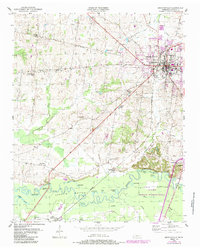 1950 Brownsville1983 Print · USGSBrownsville and the surrounding Haywood County countryside appear here in the mid-twentieth century, featuring the town's growth and the river bottom's wetlands. Researchers can locate the SEABOARD rail line, rural landmarks like Cuthbert Switch, and the sprawling Hatchie National Wildlife Refuge.
 - 1951 Map of Brownsville
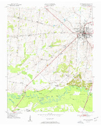 1951 Brownsville1951 Print · USGSBrownsville was a thriving railroad hub and agricultural center in the early fifties, anchored by the Broadway of America. Genealogists can trace the rural landscape through Oakwood Cem, Shepp (Shepards Sta), and local schools like Cuthbert Switch Sch.3 unique versions available
 - 1956 Map of Blytheville, 1964 Print
 1956 Blytheville1964 Print · USGSWest Tennessee and the Arkansas Delta come alive in this mid-century survey of the river-and-rail corridor connecting Memphis to Jackson. Genealogists and historians can trace the rail lines of the Louisville and Nashville RR and locate landmarks like Western State Hospital or Fort Pillow State Prison Farm.2 unique versions available
 - 1959 Map of Blytheville
 1959 Blytheville1959 Print · USGSWest Tennessee and Northeast Arkansas meet along the river in the late fifties, during a period of steady industrial and agricultural growth. Genealogists can trace the rail corridors of the Illinois Central through Jackson or explore landmarks like Shiloh National Military Park and Fort Pillow State Prison.
 - 1970 Map of Brownsville
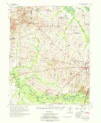 1970 Brownsville1970 Print · USGSHaywood County in the late sixties and early seventies is defined by its deep river bottomlands and scattered rural crossroads. Genealogists and researchers can trace family landmarks and vanished schools like Nutbush, Durhamville, and the Flag Grove Sch.
 - 1986 Map of Blytheville
 1986 Blytheville1986 Print · USGSThe Arkansas-Tennessee borderlands appear here in the mid-eighties, centered on the mighty Mississippi River and its shifting islands. Trace the footprints of Blytheville Air Force Base, old river towns like Golddust, and the extensive grounds of the Fort Pillow State Prison Farm.2 unique versions available
 - 2010 Map of Brownsville, 2010 Print
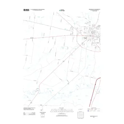
 2010 Brownsville2010 Print · USGSCovers Haywood Heights, including Brownsville, Macedonia, and other nearby areas
 - 2013 Map of Brownsville, 2013 Print
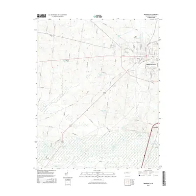
 2013 Brownsville2013 Print · USGSCovers Haywood Heights, including Brownsville, Macedonia, and other nearby areas
 - 2016 Map of Brownsville, 2016 Print
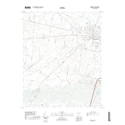
 2016 Brownsville2016 Print · USGSCovers Haywood Heights, including Brownsville, Macedonia, and other nearby areas
 - 2019 Map of Brownsville, 2019 Print
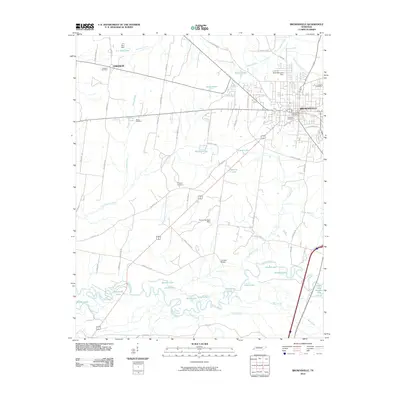
 2019 Brownsville2019 Print · USGSCovers Haywood Heights, including Brownsville, Macedonia, and other nearby areas
 - 2022 Map of Brownsville, 2022 Print
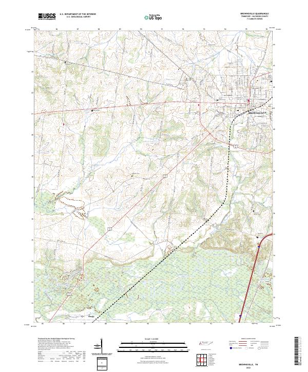 2022 Brownsville2022 Print · USGSBrownsville and the surrounding Haywood County landscape appear in the early 2020s, showing the town's growth toward the Hatchie River wetlands. Family historians can locate numerous burial sites like Tallaferro Cem and Adas Israel Cem near the river's edge at Moon Lake.
End of results
Showing maps 1-11 of 11
Top cities near Haywood Heights
- Brownsville historical maps
- Alamo historical maps
- Bells historical maps
- Maury City historical maps
- Stanton historical maps
- Nutbush historical maps
Frequently asked questions
- What are the different types of historical maps available for Haywood Heights?
- What is the oldest map of Haywood Heights?
- Where can I purchase historical maps of Haywood Heights for my home or office?
- Where can I download high-res historical maps of Haywood Heights?
- Are there historical topographic maps available for Haywood Heights?
- Is there historical aerial imagery available for Haywood Heights?
- Where are historical maps of Haywood Heights sourced from?