Old Maps of Oakview, Tennessee
Explore 10 old maps of Oakview, spanning from 1956 to today. These high-resolution historic maps reveal how streets, neighborhoods, landmarks, and natural features evolved over time — perfect for genealogy, metal detecting, research, and local history exploration.
What you can do with these maps:
- See how Oakview changed over time: Compare historical maps to modern-day views to trace roads, homesites, rail lines & more.
- View detailed metadata: Each map includes creators, publishers, year, scale, and archive source.
- Overlay maps with satellite & LiDAR: Visualize the past alongside modern tools to explore terrain & human change.
- Trusted historical sources: Maps sourced from the USGS, Library of Congress, and other archives.
- Access maps your way: View online, download high-res files, or order prints for personal or research use.
Start exploring old maps of Oakview to uncover forgotten places, hidden landmarks, and the deep history beneath your feet.
Oakview, TN maps
(10)- 1956 Map of Blytheville, 1964 Print
 1956 Blytheville1964 Print · USGSWest Tennessee and the Arkansas Delta come alive in this mid-century survey of the river-and-rail corridor connecting Memphis to Jackson. Genealogists and historians can trace the rail lines of the Louisville and Nashville RR and locate landmarks like Western State Hospital or Fort Pillow State Prison Farm.2 unique versions available
 - 1959 Map of Blytheville
 1959 Blytheville1959 Print · USGSWest Tennessee and Northeast Arkansas meet along the river in the late fifties, during a period of steady industrial and agricultural growth. Genealogists can trace the rail corridors of the Illinois Central through Jackson or explore landmarks like Shiloh National Military Park and Fort Pillow State Prison.
 - 1964 Map of Tibbs, 1965 Print
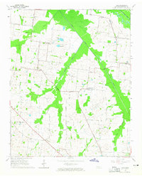 1964 Tibbs1965 Print · USGSHaywood County in the mid-sixties reveals a rural landscape of scattered hamlets and family-named schools before modern consolidation. Genealogists can trace the locations of Antioch Ch, Woodlawn Cem, and early educational sites like Hickory Grove Sch.2 unique versions available
 - 1970 Map of Brownsville
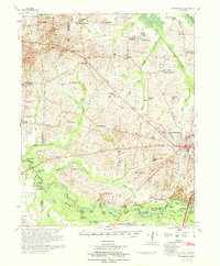 1970 Brownsville1970 Print · USGSHaywood County in the late sixties and early seventies is defined by its deep river bottomlands and scattered rural crossroads. Genealogists and researchers can trace family landmarks and vanished schools like Nutbush, Durhamville, and the Flag Grove Sch.
 - 1986 Map of Blytheville
 1986 Blytheville1986 Print · USGSThe Arkansas-Tennessee borderlands appear here in the mid-eighties, centered on the mighty Mississippi River and its shifting islands. Trace the footprints of Blytheville Air Force Base, old river towns like Golddust, and the extensive grounds of the Fort Pillow State Prison Farm.2 unique versions available
 - 2010 Map of Tibbs, 2010 Print
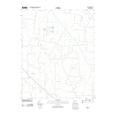 2010 Tibbs2010 Print · USGSHaywood County is shown as a patchwork of small-scale water management and rural family landmarks in the early twenty-first century. Genealogists can locate Shaws Chapel Cemetery or trace properties near Melton Lake and Eubanks Lake.
 - 2013 Map of Tibbs, 2013 Print
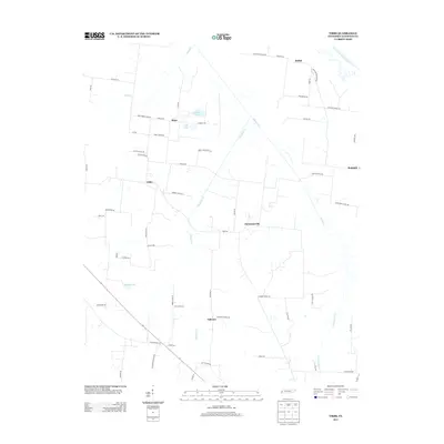 2013 Tibbs2013 Print · USGSHaywood County’s rural character is preserved in this recent survey of the Tennessee interior. Genealogists and local historians can trace family-named routes and old community centers like Christmasville, Oakview, and the winding South Fork Forked Deer River.
 - 2016 Map of Tibbs, 2016 Print
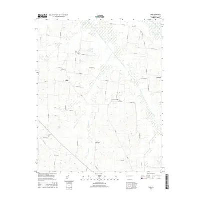 2016 Tibbs2016 Print · USGSHaywood County's agricultural heartland is documented here in the mid-2010s, showing a landscape defined by meandering creeks and old family homesteads. Researchers can trace local lineage through sites like Shaws Chapel Cemetery or locate the rural hubs of Christmasville and Tibbs.
 - 2019 Map of Tibbs, 2019 Print
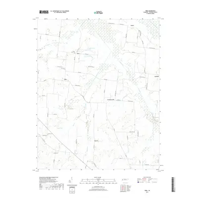 2019 Tibbs2019 Print · USGSHaywood County is mapped in the late twenty-tens as a landscape of rural crossroads and river bottomlands. Genealogists and local researchers can locate family sites and landmarks like Shaws Chapel Cem, Duffy Lake, and the community of Christmasville.
 - 2022 Map of Tibbs, 2022 Print
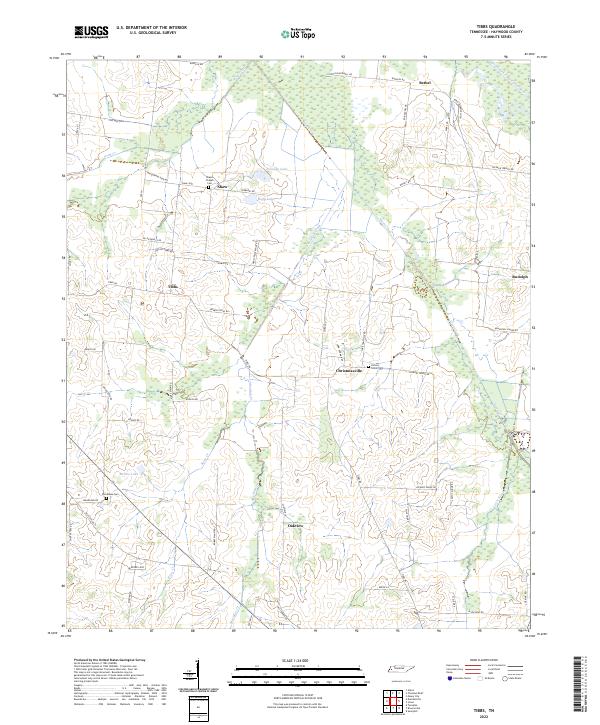 2022 Tibbs2022 Print · USGSHaywood County is shown in modern detail, capturing a rural landscape of family-named roads and small settlements. Researchers can locate ancestral sites like Shaws Chapel Cem, the community of Christmasville, or family landmarks along Allen Qualls Rd.
End of results
Showing maps 1-10 of 10
Top cities near Oakview
- Brownsville historical maps
- Ripley historical maps
- Alamo historical maps
- Bells historical maps
- Halls historical maps
- Mason historical maps
See more
Frequently asked questions
- What are the different types of historical maps available for Oakview?
- What is the oldest map of Oakview?
- Where can I purchase historical maps of Oakview for my home or office?
- Where can I download high-res historical maps of Oakview?
- Are there historical topographic maps available for Oakview?
- Is there historical aerial imagery available for Oakview?
- Where are historical maps of Oakview sourced from?