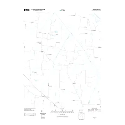
2013 Map of Tibbs
USGS Topo · Published 2013About this map
Tibbs and the surrounding Haywood County countryside are defined by a network of rural routes and the wandering path of the South Fork Forked Deer River. This 2013 landscape shows a pattern of small settlements such as Christmasville and Oakview connected by roads bearing local family names like Thomas Rd, Henly-Felsenthal Rd, and Tommy Dixon Rd. The terrain is marked by several water bodies, including Melton Lake and Eubanks Lake, while local landmarks like Winfield School Rd and Bradford School Rd point to the historic location of community educational sites. The distribution of these roads and small hamlets like Shaw and Bethel suggests a long-standing agricultural foundation that has persisted well into the modern era.
Find a feature on this map
65 named features on this map. Tap any name to fly to it.
Don’t see what you’re looking for? This feature index may not catch every label — zoom into the map to look around manually.
Map Details
Editions of this 2013 Tibbs Map
This is the sole edition of this map. No revisions or reprints were ever made.
Other maps of this area

1939 · Halls
USGS Topo · 1:62,500

1950 · Sunnyhill
USGS Topo · 1:24,000

1950 · Brownsville
USGS Topo · 1:24,000

1951 · Brownsville
USGS Topo · 1:24,000

1951 · Sunnyhill
USGS Topo · 1:24,000

1952 · Gates
USGS Topo · 1:24,000

1952 · Chestnut Bluff
USGS Topo · 1:24,000

1956 · Blytheville
USGS Topo · 1:250,000

1959 · Blytheville
USGS Topo · 1:250,000

1961 · Jones
USGS Topo · 1:24,000