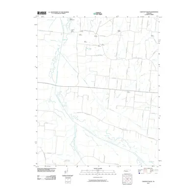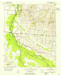
1952 Map of Chestnut Bluff
USGS Topo · Published 1953About this map
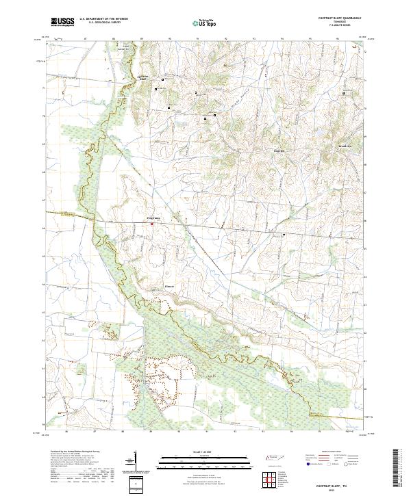
The South Fork Forked Deer River meanders across this West Tennessee landscape, defining the jagged county boundaries between Lauderdale, Haywood, and Crockett. The community of Chestnut Bluff sits elevated above the river valley, serving as a focal point for a rural area characterized by numerous family cemeteries and small country churches. Genealogists can trace localized clusters of family names through sites like Young Cem, Albritton Cem, and Carter Cem, which are scattered among the ridges and hollows such as Happy Hollow. Educational life in the early 1950s is still represented by local institutions including Hellens Bluff Sch and Poplar Forest Sch, while the spiritual heart of the townships is visible through landmarks like Archer Chapel and Maury Chapel. The terrain rises toward Dog Hill in the east, where the drainage of Black Creek and Bear Creek feeds back into the primary river system.
Find a feature on this map
33 named features on this map. Tap any name to fly to it.
Don’t see what you’re looking for? This feature index may not catch every label — zoom into the map to look around manually.
Map Details
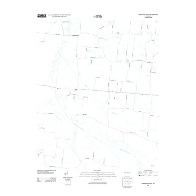
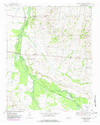
Editions of this 1952 Chestnut Bluff Map
2 editions found
Historical Maps of Broadview Through Time
6 maps found