Old Maps of Alberton, Tennessee for Metal Detecting
Plan your next treasure hunt with 10 historic maps of Alberton. Find old homesites, ghost towns, trails, and gathering spots that may be lost to time — perfect for identifying promising metal detecting locations.
- Locate forgotten sites: Uncover places like long-lost settlements, abandoned rail lines, or gathering spots.
- Plan better hunts: Use map overlays combined with LiDAR or satellite views to narrow in on historically rich areas.
- Made for detectorists: Thousands of hobbyists use these maps to discover relics, coins, and hidden history.
Use these historic maps to boost your research and find new opportunities beneath the surface of Alberton.
Alberton, TN maps
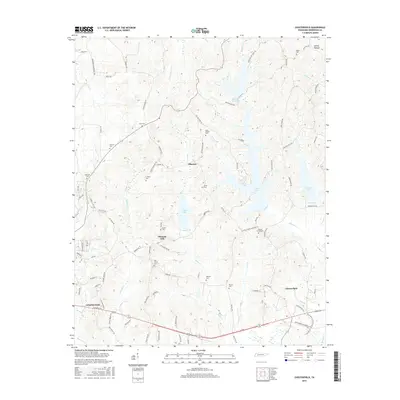
(10)- 1936 Map of Chesterfield
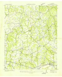 1936 Chesterfield1936 Print · USGSHenderson County was a landscape of small farming communities and country schools in the mid-1930s. Genealogists can locate family landmarks like Mays Chapel Cem and Bible Grove Ch or trace the N C & St L rail corridor.
 - 1950 Map of Chesterfield, 1953 Print
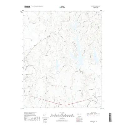
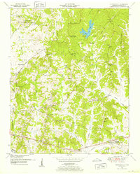 1950 Chesterfield1953 Print · USGSMid-century Henderson County is captured here at a time when the Natchez Trace and the surrounding state forest defined the local landscape. Genealogists and historians can trace numerous family-named sites, such as Holbrook Cem, Howard Sch, and the community of Chesterfield.5 unique versions available
 - 1956 Map of Blytheville, 1964 Print
 1956 Blytheville1964 Print · USGSWest Tennessee and the Arkansas Delta come alive in this mid-century survey of the river-and-rail corridor connecting Memphis to Jackson. Genealogists and historians can trace the rail lines of the Louisville and Nashville RR and locate landmarks like Western State Hospital or Fort Pillow State Prison Farm.2 unique versions available
 - 1959 Map of Blytheville
 1959 Blytheville1959 Print · USGSWest Tennessee and Northeast Arkansas meet along the river in the late fifties, during a period of steady industrial and agricultural growth. Genealogists can trace the rail corridors of the Illinois Central through Jackson or explore landmarks like Shiloh National Military Park and Fort Pillow State Prison.
 - 1986 Map of Milan
 1986 Milan1986 Print · USGSWest Tennessee in the mid-eighties shows a landscape defined by industrial military sites and expansive state forests. Trace the rail lines of the Seaboard System RR, locate the Milan Arsenal, or explore the protected lands of Natchez Trace State Forest.2 unique versions available
 - 2010 Map of Chesterfield, 2010 Print
 2010 Chesterfield2010 Print · USGSCovers Alberton, including Lexington, Oak Grove, and other nearby areas
 - 2013 Map of Chesterfield, 2013 Print
 2013 Chesterfield2013 Print · USGSCovers Alberton, including Lexington, Oak Grove, and other nearby areas
 - 2016 Map of Chesterfield, 2016 Print
 2016 Chesterfield2016 Print · USGSCovers Alberton, including Lexington, Oak Grove, and other nearby areas
 - 2019 Map of Chesterfield, 2019 Print
 2019 Chesterfield2019 Print · USGSCovers Alberton, including Lexington, Oak Grove, and other nearby areas
 - 2022 Map of Chesterfield, 2022 Print
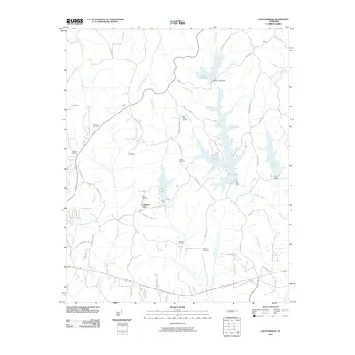
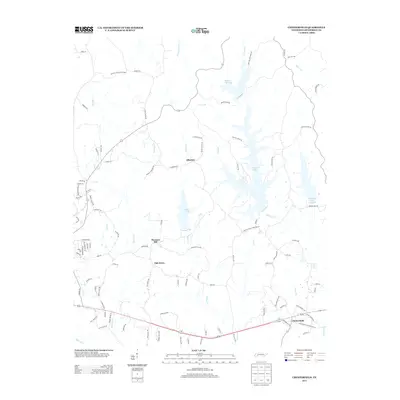
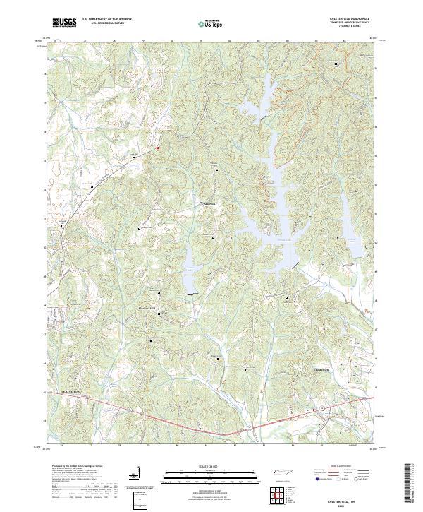 2022 Chesterfield2022 Print · USGSHenderson County, Tennessee, appears in high detail in the early 2020s, showing a landscape defined by the Beech River and local water bodies. Genealogists can locate over a dozen family and community burial sites, including Mazies Chapel Cem and Wallace Cem.
End of results
Showing maps 1-10 of 10
Top cities near Alberton
- Lexington historical maps
- Parsons historical maps
- Decaturville historical maps
- Clarksburg historical maps
Frequently asked questions
- What are the different types of historical maps available for Alberton?
- What is the oldest map of Alberton?
- Where can I purchase historical maps of Alberton for my home or office?
- Where can I download high-res historical maps of Alberton?
- Are there historical topographic maps available for Alberton?
- Is there historical aerial imagery available for Alberton?
- Where are historical maps of Alberton sourced from?