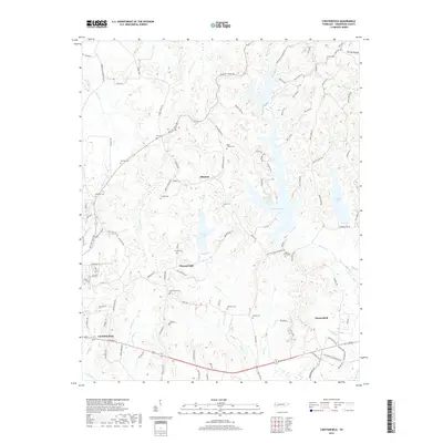
2019 Map of Chesterfield
USGS Topo · Published 2019About this map
The eastern edge of Lexington serves as the gateway to the intricate drainage systems of Henderson County, where the Beech River and its numerous tributaries like Haley Cr and Harmon Cr have carved a complex landscape of ridges and hollows. This 2019 survey documents the rural character of the area surrounding Chesterfield and the smaller settlements of Alberton and Pleasant Hill. The topography is dominated by local water bodies including Pinoak Lake, Cedar Lake, and Redbud Lake, which define the recreational and residential patterns of the modern era.
Find a feature on this map
82 named features on this map. Tap any name to fly to it.
Don’t see what you’re looking for? This feature index may not catch every label — zoom into the map to look around manually.
Map Details
Editions of this 2019 Chesterfield Map
This is the sole edition of this map. No revisions or reprints were ever made.
Other maps of this area

1936 · Clarksburg
USGS Topo · 1:24,000

1936 · Lexington
USGS Topo · 1:24,000

1936 · Yuma
USGS Topo · 1:24,000

1936 · Scotts Hill
USGS Topo · 1:24,000

1936 · Parsons
USGS Topo · 1:24,000

1936 · Reagan
USGS Topo · 1:24,000

1936 · Cavvia
USGS Topo · 1:24,000

1936 · Life
USGS Topo · 1:24,000

1936 · Chesterfield
USGS Topo · 1:24,000

1950 · Reagan
USGS Topo · 1:24,000