Old Maps of Mills Subdivision, Tennessee for Hiking & Exploration
Hike through history with 9 historic maps of Mills Subdivision. Explore old trails, ghost towns, and forgotten backroads — perfect for outdoor adventurers and local explorers.
- Rediscover forgotten places: Map out old mining camps, roads, and footpaths that no longer exist on modern maps.
- Layer with modern tools: Combine with LiDAR or satellite views to plan hikes through historical terrain.
- Made for exploration: Popular among hikers, overlanders, and local history lovers.
Use these maps to find adventure and explore the hidden past of Mills Subdivision.
Mills Subdivision, TN maps
(9)- 1936 Map of Centerville Landing
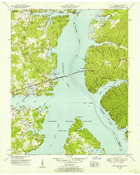
 1936 Centerville Landing1936 Print · USGSThe Tennessee and Big Sandy Rivers meet here in the mid-1930s, showing a landscape defined by seasonal landings and rural family settlements. Researchers can trace numerous country schools and churches like Mullins Sch, Hephzibah Ch, and St Mary Ch.2 unique versions available
 - 1950 Map of Paris Landing, 1953 Print
 1950 Paris Landing1953 Print · USGSKentucky Lake and the Tennessee River valley are shown here just as the post-war recreational and conservation landscape began to take shape. Researchers can locate family homesteads near Old Liberty Ch, Bradford Cem, and the Cypress Creek Cabin Area.5 unique versions available
 - 1956 Map of Dyersburg, 1960 Print
 1956 Dyersburg1960 Print · USGSThe Four Rivers region comes alive in the mid-fifties, capturing the intricate borderlands of Tennessee, Kentucky, and Missouri. Genealogists and historians can trace the rail-and-river networks connecting Dyersburg, Caruthersville, and the shoreline of Reelfoot Lake.4 unique versions available
 - 1986 Map of McKenzie
 1986 McKenzie1986 Print · USGSWest Tennessee in the mid-eighties was a landscape defined by its deep river forks and the massive waters of Kentucky Lake. Researchers can trace the rail lines of the Louisville & Nashville RR and find local landmarks from Skullbone to the Paris Landing State Park.3 unique versions available
 - 2011 Map of Paris Landing, 2011 Print
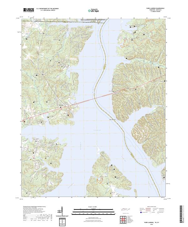
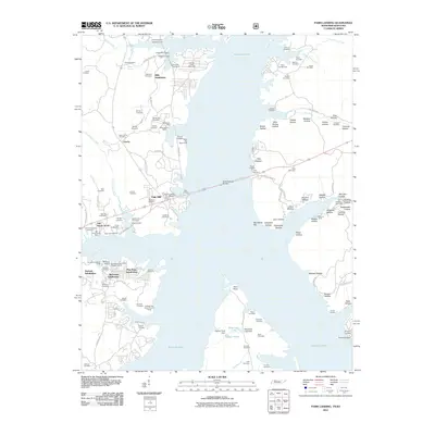 2011 Paris Landing2011 Print · USGSCovers Mills Subdivision, including Durham Subdivision, Oak Wood Estates, and other nearby areas
 - 2013 Map of Paris Landing, 2013 Print
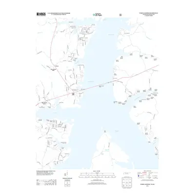 2013 Paris Landing2013 Print · USGSCovers Mills Subdivision, including Durham Subdivision, Oak Wood Estates, and other nearby areas
 - 2016 Map of Paris Landing, 2016 Print
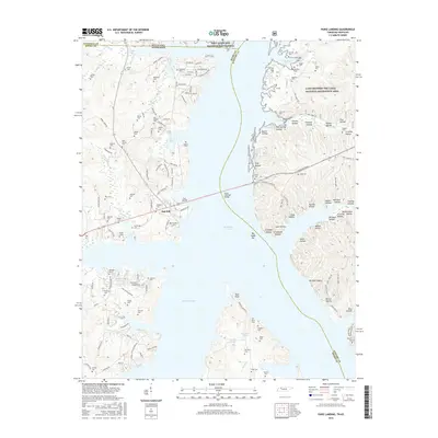 2016 Paris Landing2016 Print · USGSCovers Mills Subdivision, including Durham Subdivision, Oak Wood Estates, and other nearby areas
 - 2019 Map of Paris Landing, 2019 Print
 2019 Paris Landing2019 Print · USGSCovers Mills Subdivision, including Durham Subdivision, Oak Wood Estates, and other nearby areas
 - 2022 Map of Paris Landing, 2022 Print
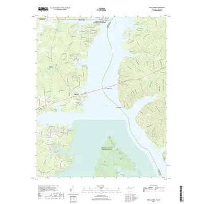
 2022 Paris Landing2022 Print · USGSThe Tennessee and Big Sandy rivers meet at the state line in this recent study of Henry and Stewart counties. Genealogists can trace family names through dozens of burial sites like Saint Mary's Cem, Parker-Presnell Cem, and Taylor Cem.
End of results
Showing maps 1-9 of 9
Top cities near Mills Subdivision
Frequently asked questions
- What are the different types of historical maps available for Mills Subdivision?
- What is the oldest map of Mills Subdivision?
- Where can I purchase historical maps of Mills Subdivision for my home or office?
- Where can I download high-res historical maps of Mills Subdivision?
- Are there historical topographic maps available for Mills Subdivision?
- Is there historical aerial imagery available for Mills Subdivision?
- Where are historical maps of Mills Subdivision sourced from?