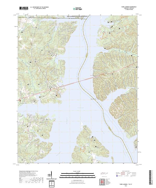
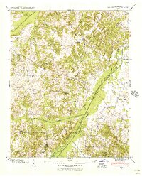
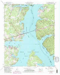
2022 Map of Paris Landing
USGS Topo · Published 2022About this map
The Tennessee River and Kentucky Lake dominate this survey at the border of Kentucky and Tennessee, where the Big Sandy River joins the main channel. This landscape is defined by the extensive waters and the numerous named hollows that cut into the eastern shoreline, such as Mullins Hollow and Coaling Hollow. The map provides significant genealogical value, documenting dozens of family and community burial grounds including the Old Moody Cem, Buck Williams Cem, and Largent Cem. The area around Oak Hill serves as a central point of settlement west of the water, while the eastern side is heavily shaped by the boundaries of the Fort Donelson National Battlefield and the Tennessee National Wildlife Refuge. Traces of older transport routes like the Old Paris Landing Rd remain visible alongside modern corridors like Donelson Pkwy.
Find a feature on this map
166 named features on this map. Tap any name to fly to it.
Don’t see what you’re looking for? This feature index may not catch every label — zoom into the map to look around manually.
Map Details
Editions of this 2022 Paris Landing Map
This is the sole edition of this map. No revisions or reprints were ever made.
Historical Maps of Mills Subdivision Through Time
19 maps found

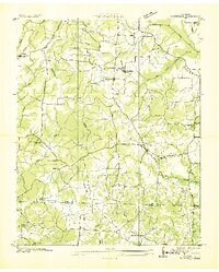
1936 Centerville Landing
Henry County, TN
1936 Conyersville
Henry County, TN
1936 Crossland
Henry County, TN
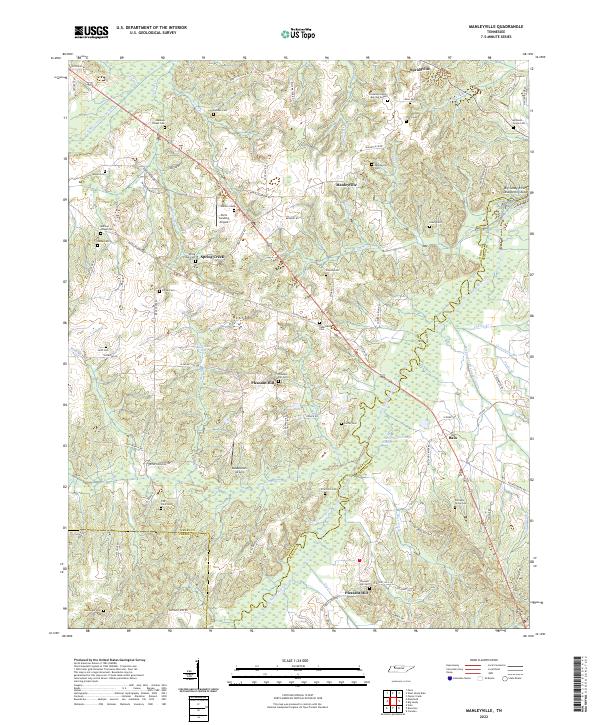
1936 Manleyville
Henry County, TN
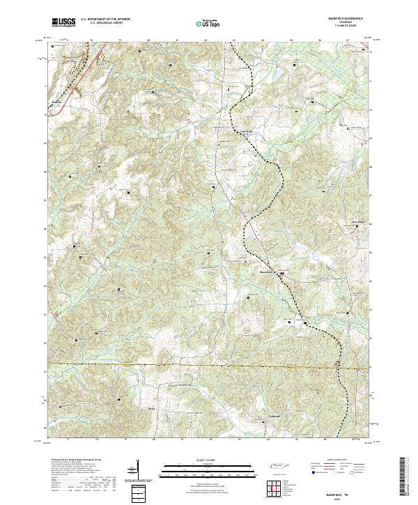
1936 Mansfield
Henry County, TN
1936 Springville
Henry County, TN
1938 Springville
Henry County, TN
1940 Manleyville
Henry County, TN
1941 Manleyville
Henry County, TN
1950 Mansfield
Henry County, TN
1950 Osage
Henry County, TN
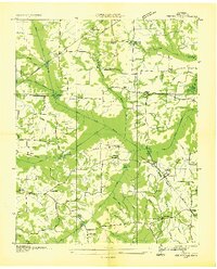
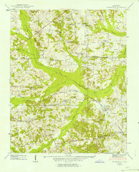
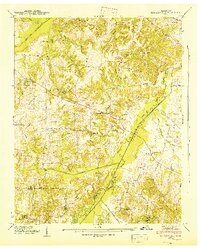
1950 Paris Landing
Henry County, TN
1965 Manleyville
Henry County, TN
1965 West Sandy Dike
Henry County, TN
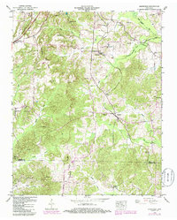
2022 Manleyville
Henry County, TN
2022 Mansfield
Henry County, TN
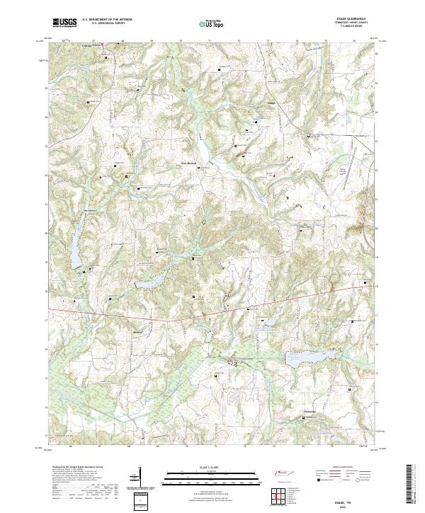
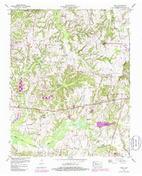
2022 Osage
Henry County, TN
2022 Paris Landing
Henry County, TN
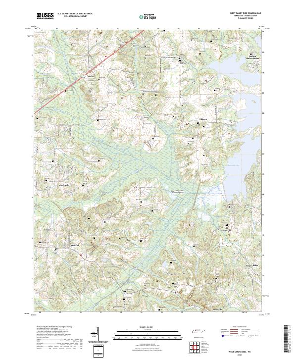
2022 West Sandy Dike
Henry County, TN