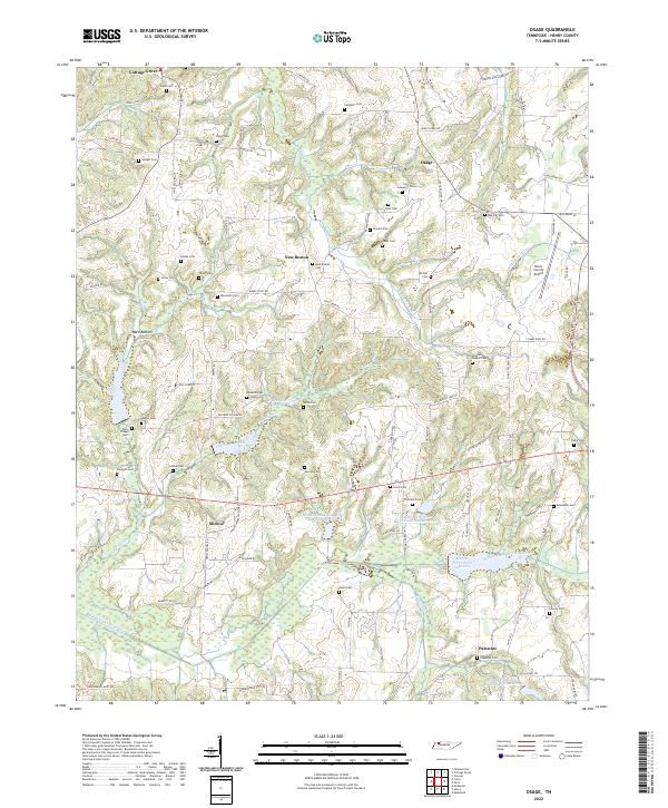
2022 Map of Osage
USGS Topo · Published 2022About this map
The Middle Fork Obion River meanders through the southern portion of this region, feeding into a series of managed basins including Middle Fork Obion River Lake Number Three and Middle Fork Obion River Lake Number Six. This landscape is defined by the complex drainage systems of Old Town Creek and Walnut Fork Cr, which cut through a terrain of low-lying wetlands and bottomlands such as Ward Bottom. Small community centers like New Boston and Cottage Grove serve as anchors for a dense network of rural roads, including the Old Dresden Hwy.
Find a feature on this map
96 named features on this map. Tap any name to fly to it.
Don’t see what you’re looking for? This feature index may not catch every label — zoom into the map to look around manually.
Map Details
Editions of this 2022 Osage Map
This is the sole edition of this map. No revisions or reprints were ever made.
Other maps of this area

1936 · Conyersville
USGS Topo · 1:24,000

1936 · Crossland
USGS Topo · 1:24,000

1936 · Mansfield
USGS Topo · 1:24,000

1936 · Paris
USGS Topo · 1:24,000

1950 · Osage
USGS Topo · 1:24,000

1950 · Paris
USGS Topo · 1:24,000

1950 · Mansfield
USGS Topo · 1:24,000

1950 · Puryear
USGS Topo · 1:24,000

1950 · Cottage Grove
USGS Topo · 1:24,000

1955 · Henry
USGS Topo · 1:24,000