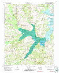
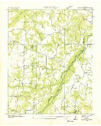
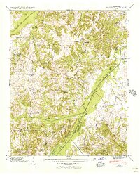
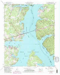
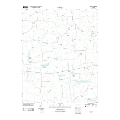
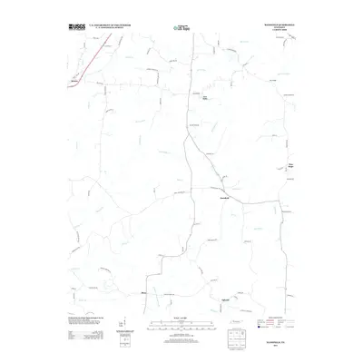
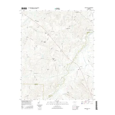
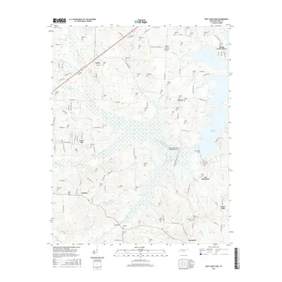
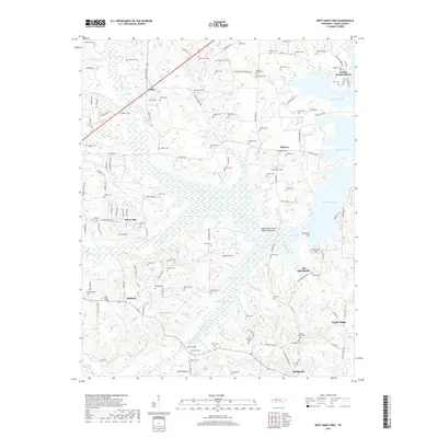
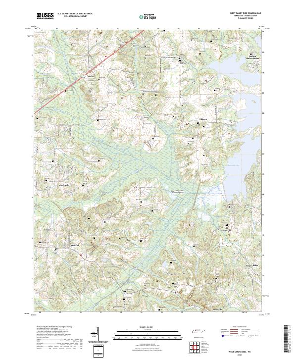
1965 Map of West Sandy Dike
USGS Topo · Published 1990About this map
The West Sandy Creek Dewatering Area dominates this mid-1960s landscape, illustrating the complex water management systems integrated with Kentucky Lake. This vast basin is defined by the West Sandy Dike and a series of drainage canals that altered the flow of Holly Fork and West Sandy Creek. The era's transportation network is anchored by the Louisville and Nashville Railroad and the Old Nashville Road, which link several small communities including Oakland, Elkhorn, and Springville. Local history is preserved in the numerous family cemeteries scattered across the ridges, such as Upchurch Cem and Caldwell Cem. Significant community landmarks from this period include the John R Miller School for Retarded, the Sulphur Well Academy Church, and recreational developments like the Paris Golf and Country Club and Antioch Harbor Resort.
Find a feature on this map
96 named features on this map. Tap any name to fly to it.
Don’t see what you’re looking for? This feature index may not catch every label — zoom into the map to look around manually.
Map Details
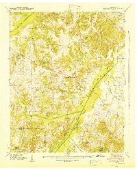
Editions of this 1965 West Sandy Dike Map
2 editions found
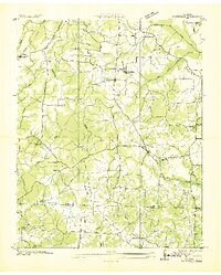
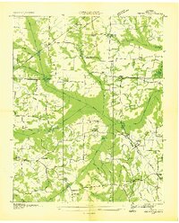
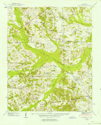
Historical Maps of Antioch Harbor Resort Through Time
39 maps found

1936 Centerville Landing
Henry County, TN
1936 Conyersville
Henry County, TN
1936 Crossland
Henry County, TN
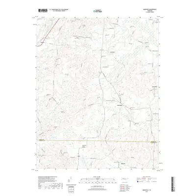
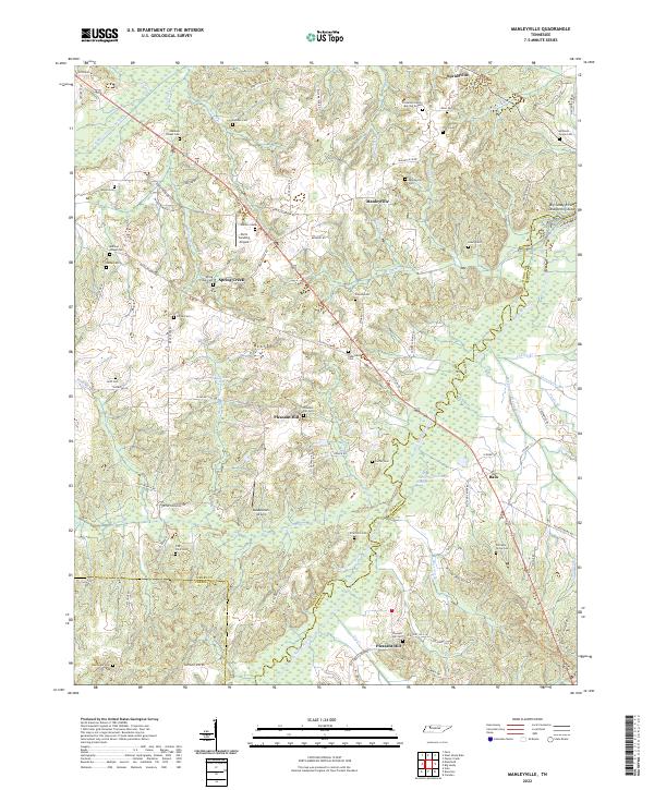
1936 Manleyville
Henry County, TN
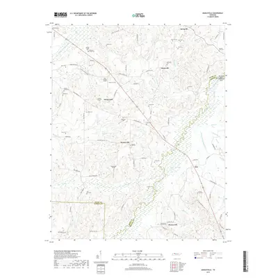
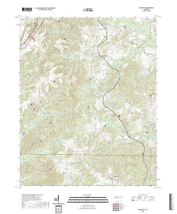
1936 Mansfield
Henry County, TN
1936 Springville
Henry County, TN
1938 Springville
Henry County, TN
1940 Manleyville
Henry County, TN
1941 Manleyville
Henry County, TN
1950 Mansfield
Henry County, TN
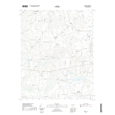
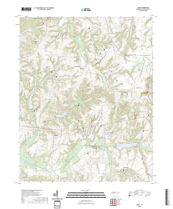
1950 Osage
Henry County, TN
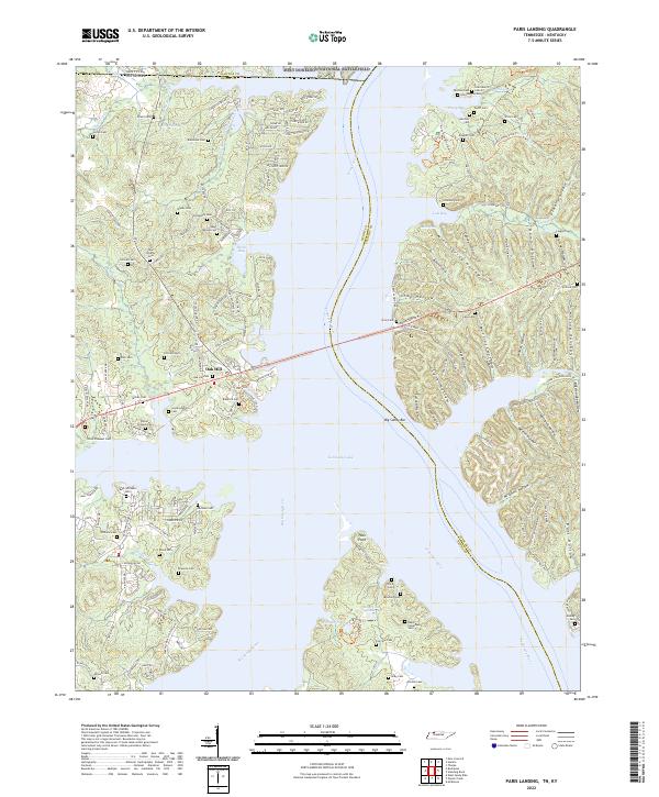
1950 Paris Landing
Henry County, TN
1965 Manleyville
Henry County, TN
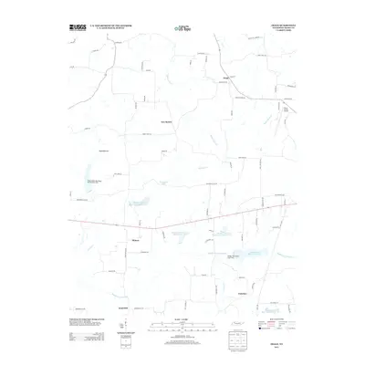
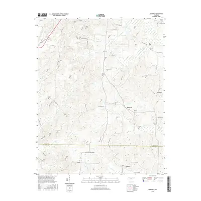
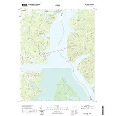
1965 West Sandy Dike
Henry County, TN
2010 Manleyville
Henry County, TN
2010 Mansfield
Henry County, TN
2010 Osage
Henry County, TN
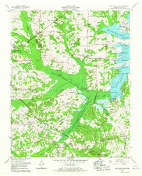
2010 West Sandy Dike
Henry County, TN
2011 Paris Landing
Henry County, TN
2013 Manleyville
Henry County, TN
2013 Mansfield
Henry County, TN
2013 Osage
Henry County, TN
2013 Paris Landing
Henry County, TN
2013 West Sandy Dike
Henry County, TN
2016 Manleyville
Henry County, TN
2016 Mansfield
Henry County, TN
2016 Osage
Henry County, TN
2016 Paris Landing
Henry County, TN
2016 West Sandy Dike
Henry County, TN
2019 Manleyville
Henry County, TN
2019 Mansfield
Henry County, TN
2019 Osage
Henry County, TN
2019 Paris Landing
Henry County, TN
2019 West Sandy Dike
Henry County, TN
2022 Manleyville
Henry County, TN
2022 Mansfield
Henry County, TN
2022 Osage
Henry County, TN
2022 Paris Landing
Henry County, TN
2022 West Sandy Dike
Henry County, TN