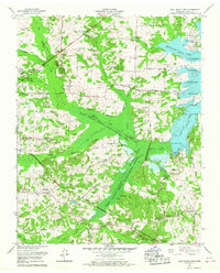
1965 Map of West Sandy Dike
USGS Topo · Published 1967About this map
Old Springville and Springville anchor this mid-1960s study of the Henry County landscape along the Kentucky Lake shoreline. The Tennessee Valley Authority's infrastructure dominates the topography, most notably the West Sandy Creek Dewatering Area and the namesake West Sandy Dike, which manage the water levels of the surrounding wetlands and creek systems. These engineering works sit alongside the Kentucky Reservation and the National Migratory Wildlife Refuge, illustrating the era's focus on conservation and hydraulic management.
Find a feature on this map
92 named features on this map. Tap any name to fly to it.
Don’t see what you’re looking for? This feature index may not catch every label — zoom into the map to look around manually.
Map Details
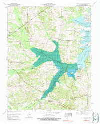
Editions of this 1965 West Sandy Dike Map
2 editions found
Other maps of this area

1936 · Poplar Creek
USGS Topo · 1:24,000

1936 · Conyersville
USGS Topo · 1:24,000

1936 · Buchanan
USGS Topo · 1:24,000

1936 · Big Sandy
USGS Topo · 1:24,000

1936 · Mansfield
USGS Topo · 1:24,000

1936 · Centerville Landing
USGS Topo · 1:24,000

1936 · Manleyville
USGS Topo · 1:24,000

1936 · Paris
USGS Topo · 1:24,000

1936 · Springville
USGS Topo · 1:24,000

1938 · Springville
USGS Topo · 1:24,000