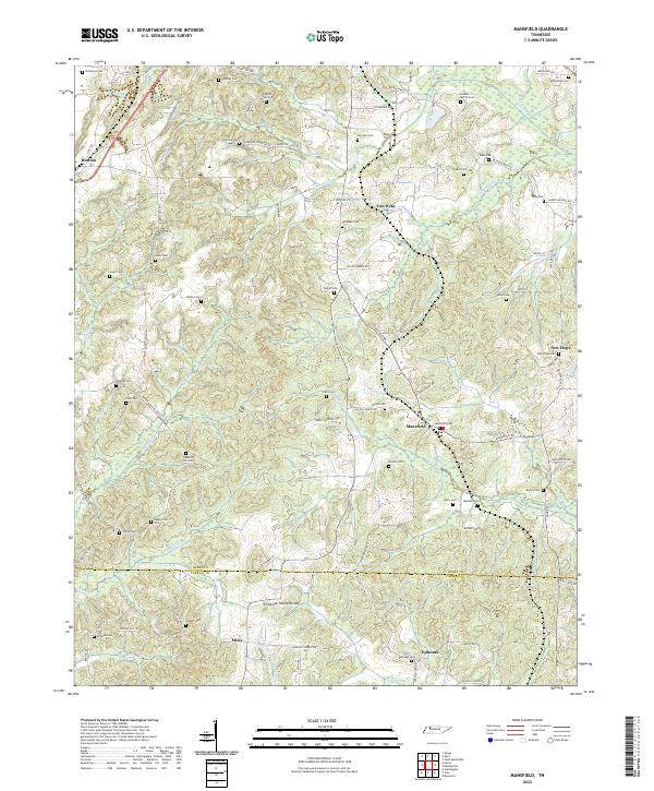
2022 Map of Mansfield
USGS Topo · Published 2022About this map
Mansfield and Routon anchor a landscape defined by its network of family cemeteries and small rural settlements at the southern edge of Henry County. The terrain is marked by the Tennessee Valley Divide, where water begins its journey toward distinct drainages, including the Crooked Cr Drainage Canal and W Sandy Cr. This area is particularly notable for genealogists and local historians, as it contains an exceptional density of burial sites such as Claxton-Myrick Cem, Shiloh Cem, and Dumplin Hill Cem, many situated along historically named roads like Camp Tyson Rd and Old McKenzie Hwy. The settlement pattern follows the drainage of Barnes Fork and Panther Cr, reflecting a traditional West Tennessee agricultural layout where small hamlets like Van Dyke and Mixie grew around established family landholdings and rural crossroads.
Find a feature on this map
102 named features on this map. Tap any name to fly to it.
Don’t see what you’re looking for? This feature index may not catch every label — zoom into the map to look around manually.
Map Details
Editions of this 2022 Mansfield Map
This is the sole edition of this map. No revisions or reprints were ever made.
Other maps of this area

1936 · Mansfield
USGS Topo · 1:24,000

1936 · Vale
USGS Topo · 1:24,000

1936 · Bruceton
USGS Topo · 1:24,000

1936 · Manleyville
USGS Topo · 1:24,000

1936 · Paris
USGS Topo · 1:24,000

1936 · Springville
USGS Topo · 1:24,000

1938 · Springville
USGS Topo · 1:24,000

1940 · Manleyville
USGS Topo · 1:24,000

1941 · Manleyville
USGS Topo · 1:24,000

1950 · Osage
USGS Topo · 1:24,000