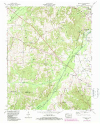
1965 Map of Manleyville
USGS Topo · Published 1987About this map
The Big Sandy River and its complex system of sloughs and drainage canals define the low-lying terrain where Henry and Benton counties meet. This mid-1960s survey, updated in the 1980s, reveals a landscape carefully managed for water control, featuring the Big Sandy Dewatering Area and the Big Sandy-Bruceton Drainage Canal. Local genealogy is well-preserved through numerous family and community landmarks, such as Manleys Chapel Cem, McDavid Grove Ch, and the Rushing Creek Community Center.
Find a feature on this map
60 named features on this map. Tap any name to fly to it.
Don’t see what you’re looking for? This feature index may not catch every label — zoom into the map to look around manually.
Map Details
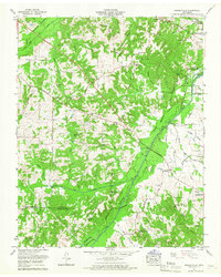
Editions of this 1965 Manleyville Map
2 editions found
Other maps of this area

1936 · Poplar Creek
USGS Topo · 1:24,000

1936 · Camden
USGS Topo · 1:24,000

1936 · Big Sandy
USGS Topo · 1:24,000

1936 · Mansfield
USGS Topo · 1:24,000

1936 · Vale
USGS Topo · 1:24,000

1936 · Bruceton
USGS Topo · 1:24,000

1936 · Manleyville
USGS Topo · 1:24,000

1936 · Paris
USGS Topo · 1:24,000

1936 · Springville
USGS Topo · 1:24,000

1938 · Springville
USGS Topo · 1:24,000