2010s Maps of Jackson County, Tennessee
Explore 52 historic maps of Jackson County from the 2010s. These maps offer a rare glimpse into what life looked like during the 2010s — showing old roads, neighborhoods, homes, and landmarks that have changed or disappeared over time.
Whether you're researching your family's past, planning a metal detecting trip, or studying how Jackson County's landscape evolved across the 2010s, these high-resolution maps are a powerful tool for exploring the history of this region.
- Focus on a specific era: All maps on this page are from the 2010s, giving you a focused view of this time period.
- See what’s changed: Compare century-old streets, trails, and buildings to today's modern landscape using overlays and satellite layers.
- Research with precision: Use these maps for genealogy, historical research, land use analysis, or educational projects.
- View, download, or print: Maps are fully viewable online in high resolution, and can be downloaded or printed for your own records.
Start exploring Jackson County's history through authentic maps from the 2010s. This is your window into the past.
Jackson County, TN maps
(52)- 2010 Map of Whitleyville, 2010 Print
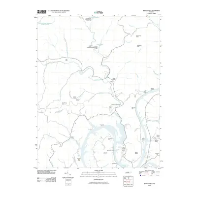 2010 Whitleyville2010 Print · USGSJackson County, Tennessee, is mapped here in the early twenty-first century as the reservoir landscape meets the rugged hollows of the Cumberland plateau. Family researchers can locate remote landmarks like Aunt Sal Hollow, the Clark Cemetery, and the Whitleyville Post Office.
 - 2010 Map of Hilham, 2010 Print
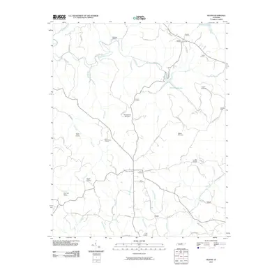 2010 Hilham2010 Print · USGSOverton County at the start of the 2010s shows a landscape deeply anchored by family heritage and rural post offices. Genealogists can trace local lineages through the Johnnie Humpy Brown Cemetery, Fisk Cemetery, and the historic Hilham Post Office.
 - 2010 Map of Granville, 2010 Print
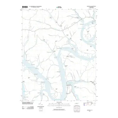 2010 Granville2010 Print · USGSThe Cumberland River valley is captured here after the creation of the Cordell Hull Reservoir, showing a landscape of deep hollows and river bends. Genealogists can trace family sites near Holland Cemetery, Granville Landing, and the settlement at Liberty.
 - 2010 Map of Union Hill, 2010 Print
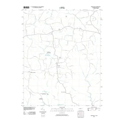 2010 Union Hill2010 Print · USGSThe Tennessee-Kentucky borderlands are captured here in 2010, showing a landscape of small settlements and family-named roads. Genealogists can locate ancestors at Pitcock Cemetery or Miles Cemetery and trace the paths of Union Hill Moss Rd.
 - 2010 Map of Gainesboro, 2010 Print
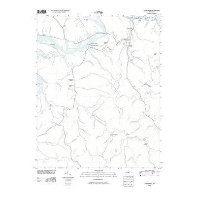 2010 Gainesboro2010 Print · USGSGainesboro and the surrounding Jackson County ridges are shown here in the years following the creation of Cordell Hull Reservoir. Trace local family history through named hollows and rural cemeteries like Dudney Cemetery or explore river landmarks including Fort Blount Ferry.
 - 2010 Map of Dodson Branch, 2010 Print
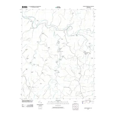 2010 Dodson Branch2010 Print · USGSJackson County and the northern Highland Rim are shown here in the early twenty-first century, before the expansion of local infrastructure. Genealogists can locate family-named landmarks and secluded burial sites like Gentry Cemetery, Hensley Cemetery, and the bluff-lined Hardscrabble Pinnacle.
 - 2010 Map of Buffalo Valley, 2010 Print
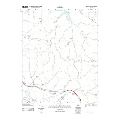 2010 Buffalo Valley2010 Print · USGSSmith County and the surrounding ridges are shown in this modern survey during a period of steady rural persistence. Genealogists can locate family-named landmarks and resting places like Maddux Cemetery, McKinley Cemetery, and the community of Chestnut Mound Post Office.
 - 2010 Map of Willette, 2010 Print
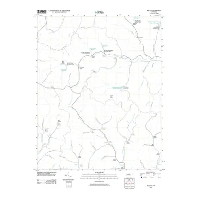 2010 Willette2010 Print · USGSMacon County's intricate network of ridges and hollows is captured here in the early twenty-first century. Researchers can trace the legacy of local families through landmarks like Minchey Cemetery, Thomas Cemetery, and the historically suggestive Steam Mill Hollow.
 - 2010 Map of Red Boiling Springs, 2010 Print
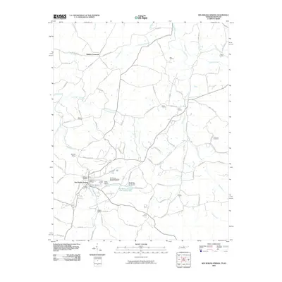 2010 Red Boiling Springs2010 Print · USGSRed Boiling Springs and the surrounding hollows of the Tennessee border are documented here in the early 21st century. Genealogists and local historians can locate numerous family burial sites such as Cothron-Gregory Cemetery and old hubs like Winklers Crossroads.
 - 2010 Map of Windle, 2010 Print
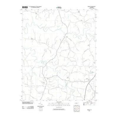 2010 Windle2010 Print · USGSNorth-central Tennessee's rural landscape is captured here in the early twenty-first century, showing a region deeply rooted in family history. Researchers can locate numerous burial grounds and ancestral landmarks, including Allen Chapel Cemetery, Mason Lake, and the winding Roaring River.
 - 2010 Map of Cookeville West, 2010 Print
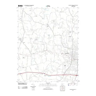 2010 Cookeville West2010 Print · USGSCookeville and its western rural fringes are captured in this 2010 survey as the city expands toward the Highland Rim. Genealogists and local historians can trace family roots through numerous burial sites like Double Springs Cemetery, Whitson Cemetery, and the historic Bloomington Springs Post Office.
 - 2010 Map of Burristown, 2010 Print
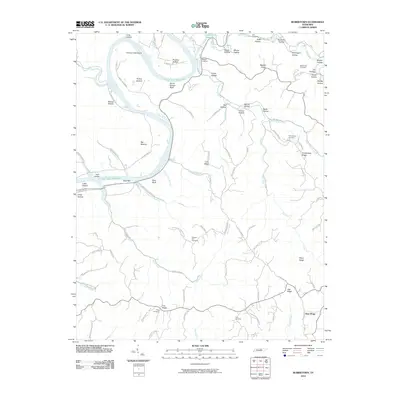 2010 Burristown2010 Print · USGSClay County's river bottoms and ridges are captured here during the first decade of the millennium. Researchers can trace the heritage of Butlers Landing and local family lineages at sites like Pleasant Hill Cemetery and Turkeytown Cemetery.
 - 2010 Map of Baxter, 2010 Print
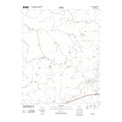 2010 Baxter2010 Print · USGSThe rural landscapes around Baxter and Lafayette are revealed here during the first decade of the 2000s. Genealogists can trace decades of local history through family-named landmarks and resting places like Pippin Cemetery and Goolsby Ridge.
 - 2013 Map of Dodson Branch, 2013 Print
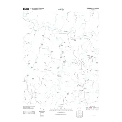 2013 Dodson Branch2013 Print · USGSJackson County, Tennessee, is captured here in the early 2010s, showing a landscape defined by the Roaring River and the deeply etched hollows of the Highland Rim. Genealogists and local historians can locate family landmarks like Hensley Cemetery Ln, the Gentry School Rd district, and the community of Dodson Branch.
 - 2013 Map of Cookeville West, 2013 Print
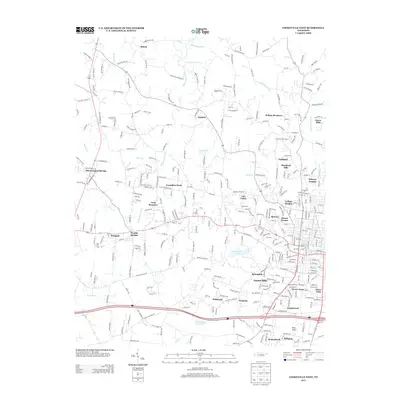 2013 Cookeville West2013 Print · USGSThe western edges of Cookeville and the surrounding Tennessee highlands are shown here in the early 2010s as the area transitioned from rural valleys to residential suburbs. Researchers can find well-known landmarks like Cummins Falls and Cane Creek Lake alongside smaller communities such as Bloomington Springs and Oakdale.
 - 2013 Map of Red Boiling Springs, 2013 Print
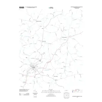 2013 Red Boiling Springs2013 Print · USGSThis Tennessee-Kentucky border region is captured in the early 21st century, centered on the unique topography surrounding Red Boiling Springs. Local researchers can trace family lands through numerous named hollows like Whitley Hollow and small crossroads communities including Winklers Crossroads and Hermitage Springs.
 - 2013 Map of Buffalo Valley, 2013 Print
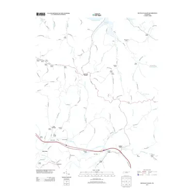 2013 Buffalo Valley2013 Print · USGSSmith County is shown in detail during the early twenty-first century as the Caney Fork river meanders toward the Cordell Hull Reservoir. Local historians can trace family-named hollows and small settlements like Chestnut Mound, Enigma, and Buffalo Valley.
 - 2013 Map of Hilham, 2013 Print
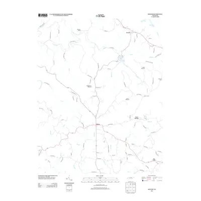 2013 Hilham2013 Print · USGSThe rural uplands of Overton County are captured here in the early twenty-first century as modern roads trace through traditional hollows. Genealogists can locate family landmarks like Johnson Cove and Burchett Hollow, or the settlements of Hilham and Timothy.
 - 2013 Map of Gainesboro, 2013 Print
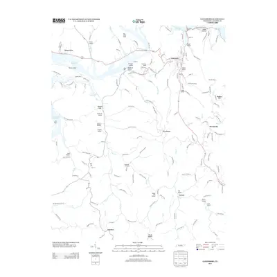 2013 Gainesboro2013 Print · USGSGainesboro and the surrounding Jackson County hollows are captured here during the early twenty-first century. Genealogists can trace family landmarks and rural communities from Nameless and Flynns Lick to the historic Fort Blount Ferry and Brown Cemetery.
 - 2013 Map of Willette, 2013 Print
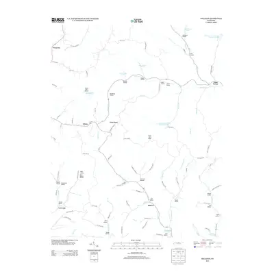 2013 Willette2013 Print · USGSThe rural Tennessee uplands near Willette and North Springs are defined here by an intricate web of family-named hollows and creek-side settlements. Genealogists and historians can trace old homesteads and local roads through Steam Mill Hollow, Sycamore Bottom, and the community of Prosperity.
 - 2013 Map of Burristown, 2013 Print
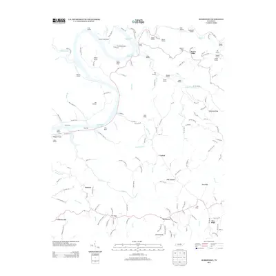 2013 Burristown2013 Print · USGSClay County's riverside landscape and upland ridges are captured here in the early twenty-first century. Genealogists can trace family connections through landmarks like Butlers Landing, Old Antioch, and family-named routes such as Brown Stafford Cemetery Ln.
 - 2013 Map of Whitleyville, 2013 Print
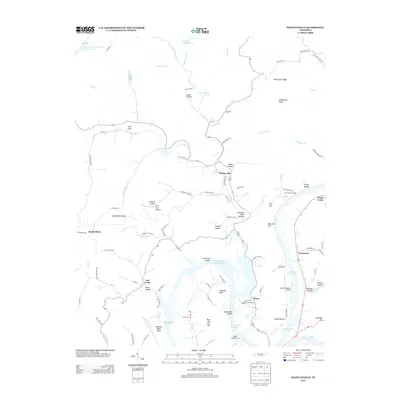 2013 Whitleyville2013 Print · USGSJackson County at the start of the decade shows a landscape shaped by the Cordell Hull Reservoir and deep-seated rural traditions. Genealogists can trace family names through landmarks like McCormick Ridge and the settlements of Whitleyville and Stone.
 - 2013 Map of Union Hill, 2013 Print
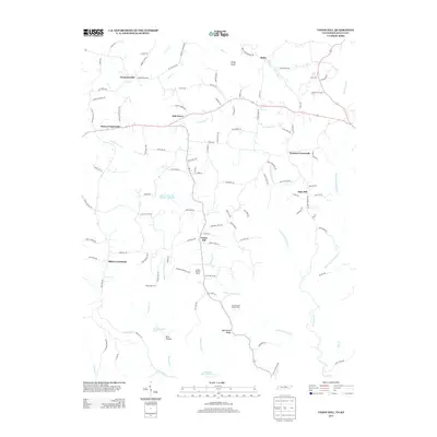 2013 Union Hill2013 Print · USGSThe Tennessee-Kentucky borderlands come into focus in the early 2010s, showing a landscape of traditional upland farming and poultry operations. Researchers can locate family-held lands near Clementsville, Oak Grove, and the Ridge Top Farm.
 - 2013 Map of Baxter, 2013 Print
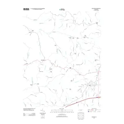 2013 Baxter2013 Print · USGSBaxter and the surrounding Putnam County highlands are captured here in the early twenty-first century. Researchers can trace family-named landmarks and rural settlements like Lafayette, Boma, and the ridges surrounding Mine Lick Cr.
 - 2013 Map of Granville, 2013 Print
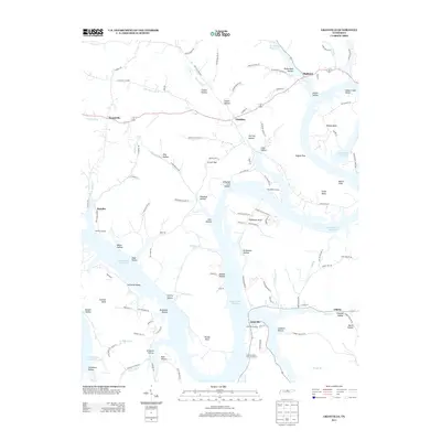 2013 Granville2013 Print · USGSJackson County at the start of the 2010s shows a landscape deeply defined by the Cordell Hull Reservoir. Local historians can trace family-named landmarks and historical sites like Slave Cemetery Rd, Whites Bend, and the community of Granville.
Showing maps 1-25 of 52
Top cities of Jackson County
Frequently asked questions
- What are the different types of historical maps available for Jackson County?
- What is the oldest map of Jackson County?
- Where can I purchase historical maps of Jackson County for my home or office?
- Where can I download high-res historical maps of Jackson County?
- Are there historical topographic maps available for Jackson County?
- Is there historical aerial imagery available for Jackson County?
- Where are historical maps of Jackson County sourced from?