2020s Maps of Lauderdale County, Tennessee
Explore 25 historic maps of Lauderdale County from the 2020s. These maps offer a rare glimpse into what life looked like during the 2020s — showing old roads, neighborhoods, homes, and landmarks that have changed or disappeared over time.
Whether you're researching your family's past, planning a metal detecting trip, or studying how Lauderdale County's landscape evolved across the 2020s, these high-resolution maps are a powerful tool for exploring the history of this region.
- Focus on a specific era: All maps on this page are from the 2020s, giving you a focused view of this time period.
- See what’s changed: Compare century-old streets, trails, and buildings to today's modern landscape using overlays and satellite layers.
- Research with precision: Use these maps for genealogy, historical research, land use analysis, or educational projects.
- View, download, or print: Maps are fully viewable online in high resolution, and can be downloaded or printed for your own records.
Start exploring Lauderdale County's history through authentic maps from the 2020s. This is your window into the past.
Lauderdale County, TN maps
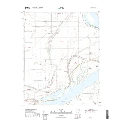
(25)- 2020 Map of Osceola, 2020 Print
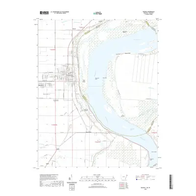 2020 Osceola2020 Print · USGSCovers Lauderdale County, including Osceola, Luxora, and other nearby areas
 - 2020 Map of Nodena, 2020 Print
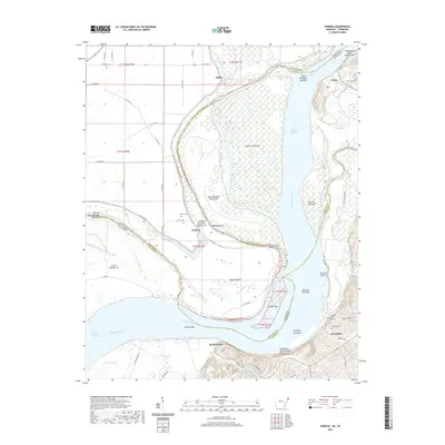 2020 Nodena2020 Print · USGSCovers Lauderdale County, including Fulton, Richardsons, and other nearby areas
 - 2020 Map of Luxora, 2020 Print
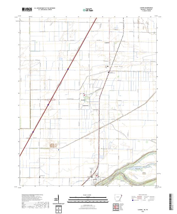
 2020 Luxora2020 Print · USGSCovers Lauderdale County, including Luxora, Burdette, and other nearby areas
 - 2020 Map of Armorel, 2020 Print
 2020 Armorel2020 Print · USGSCovers Lauderdale County, including Blytheville, Barfield, and other nearby areas
 - 2020 Map of Rosa, 2020 Print
 2020 Rosa2020 Print · USGSCovers Lauderdale County, including Lower Forked Deer Landing, Rosa, and other nearby areas
 - 2022 Map of Ripley North, 2022 Print
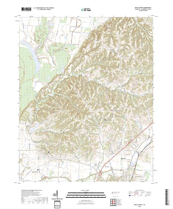 2022 Ripley North2022 Print · USGSLauderdale County's agricultural and wetland landscape is captured here in detail, showing the rural communities of the 2020s. Researchers can trace family history through numerous sites like Walnut Grove Cem, the settlement of Edith, and the community at Arp.
 - 2022 Map of Turnpike, 2022 Print
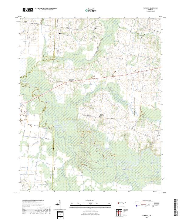 2022 Turnpike2022 Print · USGSThe Hatchie River floodplain in West Tennessee is captured here in recent years, showing a landscape shaped by shifting waters. Genealogists can locate several rural burial sites, including Estes Cemetery, Outlaw Cemetery, and the Turnpike Family Memorial Garden.
 - 2022 Map of Chestnut Bluff, 2022 Print
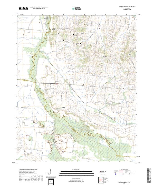 2022 Chestnut Bluff2022 Print · USGSCrockett County's rural riverbanks and small crossroads come into focus in this contemporary survey of the West Tennessee landscape. Researchers can trace family history through a high concentration of burial sites, including Brooks Cem, Antioch Cem, and Glenn Cem.
 - 2022 Map of Ripley South, 2022 Print
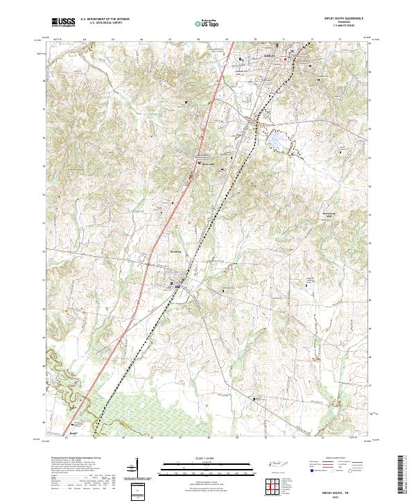 2022 Ripley South2022 Print · USGSLauderdale County comes into sharp focus during the early twenty-first century, spanning the area from the southern edge of Ripley down to the Hatchie River. Genealogists can trace family names at the Alex Haley Grave Site or search for roots at the Poplar Grove Cem and Bethlehem Cem.
 - 2022 Map of Knob Creek, 2022 Print
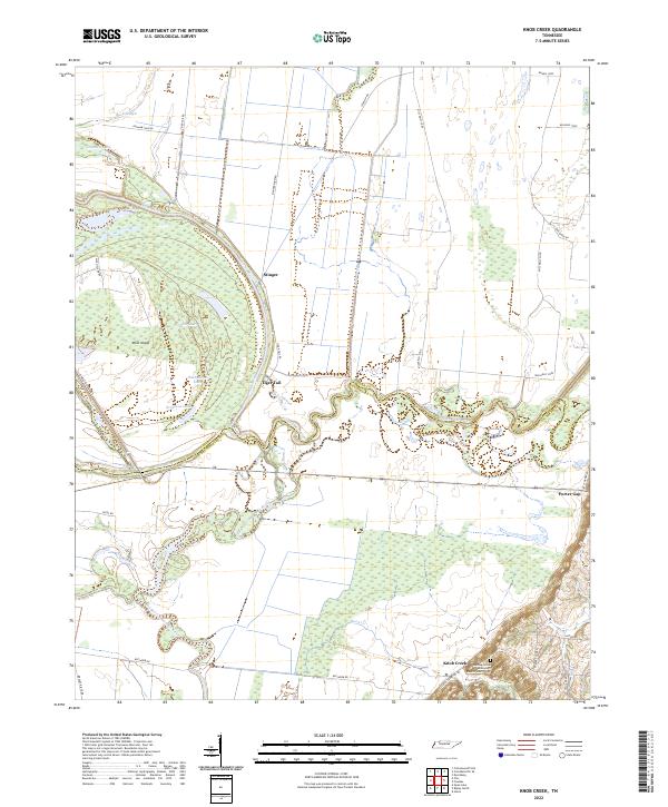 2022 Knob Creek2022 Print · USGSThe West Tennessee river bottoms come alive in this survey of the delta where the Obion and Forked Deer rivers meet. Researchers can trace the winding channels around Moss Island and locate local landmarks like Tiger Tail and the Henning Grove Missionary Baptist Church Cem.
 - 2022 Map of Gilt Edge, 2022 Print
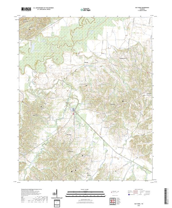 2022 Gilt Edge2022 Print · USGSThe Hatchie River bottomlands and Tipton County bluffs are shown here in modern detail, revealing a landscape of small agricultural hamlets. Researchers can trace family history through numerous rural burial sites like Elm Grove Cem, Alston Cem, and the community at Gilt Edge.
 - 2022 Map of Gift, 2022 Print
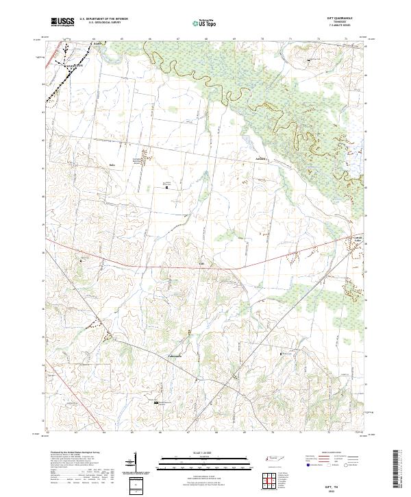 2022 Gift2022 Print · USGSTipton County at the start of the 2020s remains defined by the meandering Hatchie River and its rural settlements. Researchers can trace family history through local landmarks like Sharpe Cem, Plummers Grove Cem, and the community of Tabernacle.
 - 2022 Map of Bonicord, 2022 Print
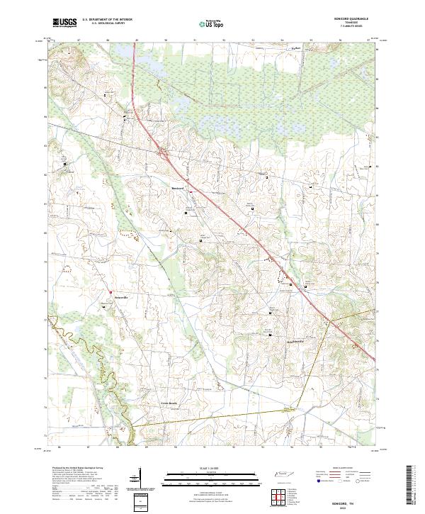 2022 Bonicord2022 Print · USGSThe Dyer County countryside near the Forked Deer River is captured here in the modern era. Genealogists can trace family landmarks like Murray Family Cem, Palestine Cem, and the small community of Hawkinsville.
 - 2022 Map of Chic, 2022 Print
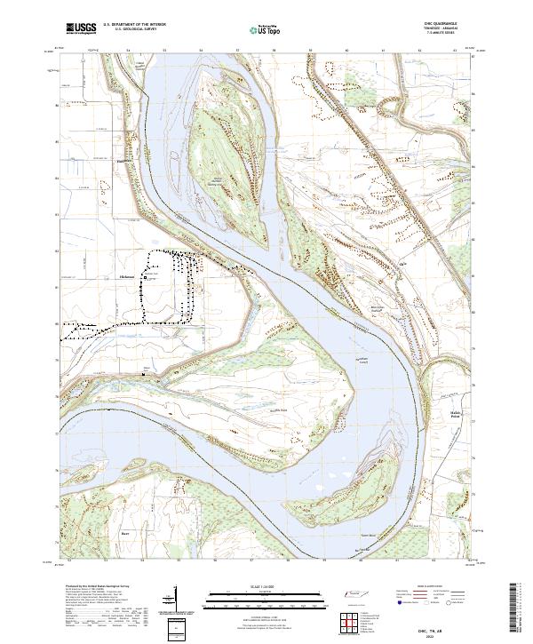 2022 Chic2022 Print · USGSDyer County and the Mississippi River bottoms are captured here in a time of modern river management and rural tradition. Genealogists can locate Buckner Cem or Walker Cem, while historians trace the river's path through Chic and the Needham Cutoff.
 - 2022 Map of Golddust, 2022 Print
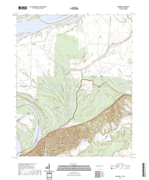 2022 Golddust2022 Print · USGSThe Tennessee-Arkansas river border in the early 2020s shows a landscape of active river bars and lowland sloughs. Genealogists and historians can trace local family landmarks such as Bates Family Cem, Samuels Cem, and the settlement of Golddust.
 - 2022 Map of Gates, 2022 Print
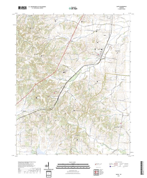 2022 Gates2022 Print · USGSLauderdale and Haywood counties are revealed in this modern era as a network of traditional Tennessee farm communities and family landmarks. Genealogists can trace decades of local history through sites like the Willette Family Cem, Crossroads Cem, and Woodville Cem.
 - 2022 Map of Fort Pillow, 2022 Print
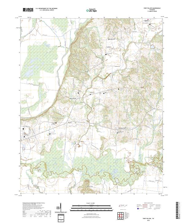 2022 Fort Pillow2022 Print · USGSLauderdale County at the start of the 2020s shows a landscape of river-bottom wetlands and enduring rural congregations. Genealogists can trace family lines through numerous sites like Lightfoot Cem, Saint James Church, and the community at Cherry.
 - 2022 Map of Durhamville, 2022 Print
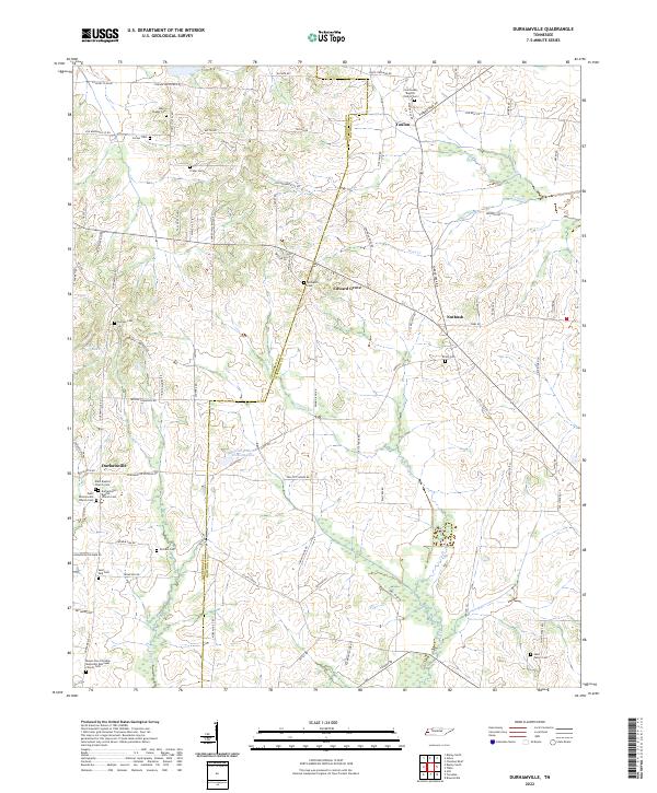 2022 Durhamville2022 Print · USGSWest Tennessee’s rural landscape comes into focus in this contemporary survey of the Lauderdale and Haywood County line. Local historians can trace family roots through numerous burial grounds like Trinity Cem and centers of community life including the Durhamville Baptist Church.
 - 2022 Map of Open Lake, 2022 Print
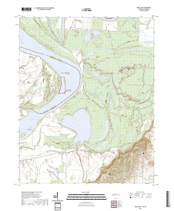 2022 Open Lake2022 Print · USGSThe Mississippi River bottomlands of West Tennessee were still a maze of oxbows and sloughs in the early twenty-first century. Researchers can trace remote family sites like Ashport Cemetery or follow the intricate waterways of Open Lake and Goose Pond.
 - 2022 Map of Fowlkes, 2022 Print
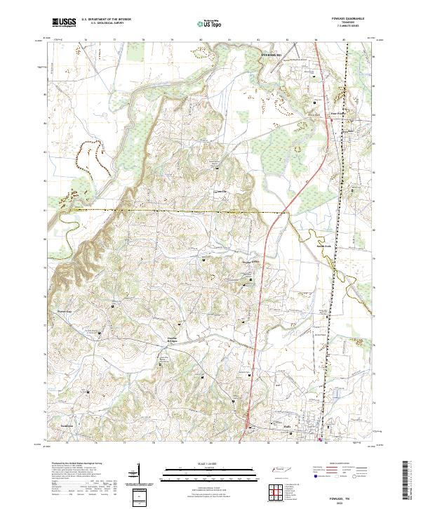 2022 Fowlkes2022 Print · USGSWestern Tennessee farm country comes into focus on the border of Dyer and Lauderdale counties. Researchers can trace family sites at the Carnell Family Cemetery or the crossroads at Double Bridges and Poplar Grove.
 - 2024 Map of Nodena, 2024 Print
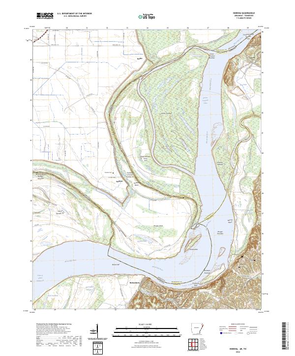 2024 Nodena2024 Print · USGSThe winding border of Arkansas and Tennessee comes alive in this survey of the Mississippi River floodplain and the high ground of the Chickasaw Bluffs. Genealogists can trace family sites at Nodena Cem and Old Randolph Cem or explore the river landings at Richardsons.
 - 2024 Map of Rosa, 2024 Print
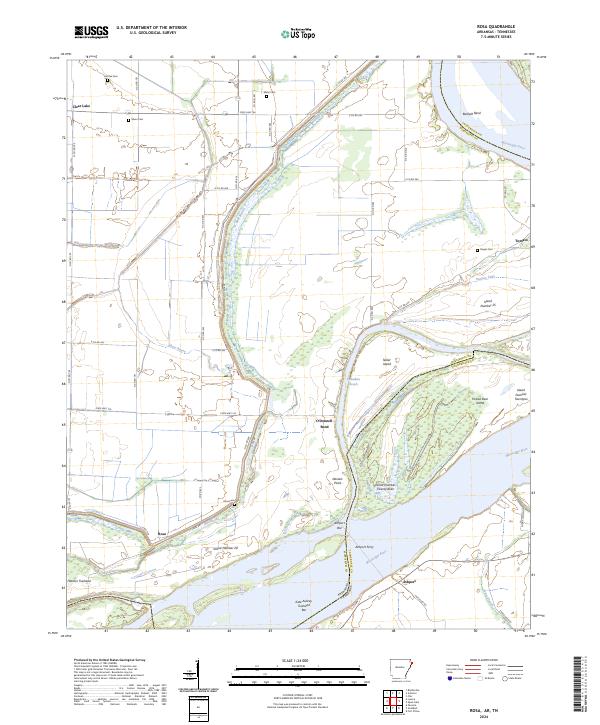 2024 Rosa2024 Print · USGSThe Mississippi River borderlands between Arkansas and Tennessee are captured here in a landscape of levees and river bends. Genealogists and historians can trace rural burial sites like Mann Cem and river crossings such as Ashport Ferry.
 - 2024 Map of Armorel, 2024 Print
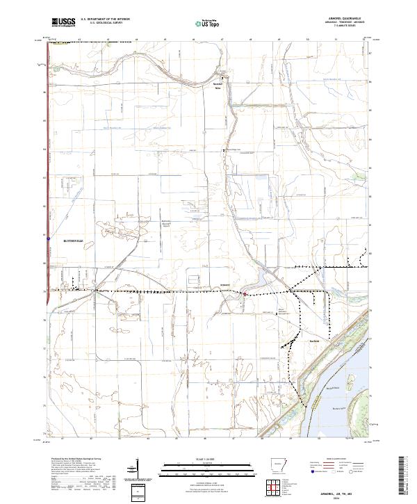 2024 Armorel2024 Print · USGSThe Arkansas-Tennessee borderlands at the Mississippi River show a landscape shaped by water and agriculture. Genealogists and historians can trace local settlements at Armorel and Number Nine, or find family landmarks like Pleasant Ridge Cem and Barfield Bend.
 - 2024 Map of Luxora, 2024 Print
 2024 Luxora2024 Print · USGSMississippi County farmland meets the river in the twenty-first century, showing the enduring grid of Arkansas delta life. Researchers can trace family sites at New Salem Cem, explore the community of Burdette, and locate landmarks like Elmot Bar along the state line.
 - 2024 Map of Osceola, 2024 Print
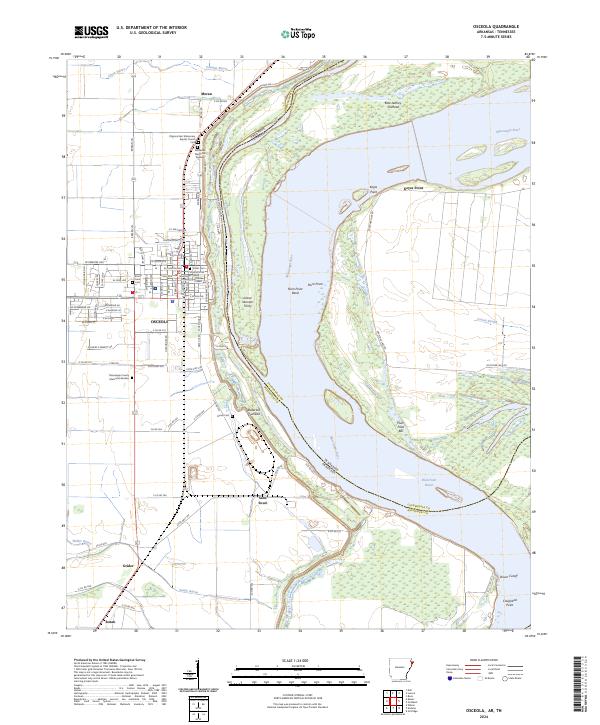 2024 Osceola2024 Print · USGSOsceola and the Mississippi River bottoms are shown in detail as they appeared recently, revealing the intricate levee systems and river bends of the Arkansas-Tennessee border. Genealogists and researchers can locate family sites at the Driver Cem, Osceola Courthouse, and the small community of Sans Souci.
End of results
Showing maps 1-25 of 25
Top cities of Lauderdale County
Frequently asked questions
- What are the different types of historical maps available for Lauderdale County?
- What is the oldest map of Lauderdale County?
- Where can I purchase historical maps of Lauderdale County for my home or office?
- Where can I download high-res historical maps of Lauderdale County?
- Are there historical topographic maps available for Lauderdale County?
- Is there historical aerial imagery available for Lauderdale County?
- Where are historical maps of Lauderdale County sourced from?