2010s Maps of Lauderdale County, Tennessee
Explore 75 historic maps of Lauderdale County from the 2010s. These maps offer a rare glimpse into what life looked like during the 2010s — showing old roads, neighborhoods, homes, and landmarks that have changed or disappeared over time.
Whether you're researching your family's past, planning a metal detecting trip, or studying how Lauderdale County's landscape evolved across the 2010s, these high-resolution maps are a powerful tool for exploring the history of this region.
- Focus on a specific era: All maps on this page are from the 2010s, giving you a focused view of this time period.
- See what’s changed: Compare century-old streets, trails, and buildings to today's modern landscape using overlays and satellite layers.
- Research with precision: Use these maps for genealogy, historical research, land use analysis, or educational projects.
- View, download, or print: Maps are fully viewable online in high resolution, and can be downloaded or printed for your own records.
Start exploring Lauderdale County's history through authentic maps from the 2010s. This is your window into the past.
Lauderdale County, TN maps
(75)- 2010 Map of Durhamville, 2010 Print
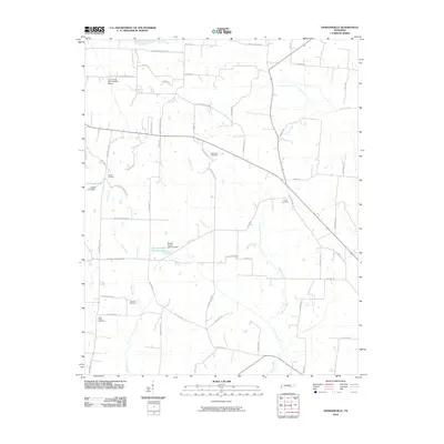 2010 Durhamville2010 Print · USGSHaywood County is shown in the early twenty-first century as a landscape of agricultural roads and quiet creek bottoms. Researchers can locate family landmarks like Spring Hill Cemetery or trace the waters of Lagoon Creek and Doris Irvin Lake.
 - 2010 Map of Ripley South, 2010 Print
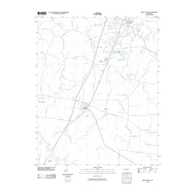 2010 Ripley South2010 Print · USGSLauderdale County in the early twenty-first century shows a landscape of growing town centers and quiet rural cemeteries. Genealogists can trace family sites at Bethlehem Cemetery and Canfield Cemetery near the southern edge of Ripley.
 - 2010 Map of Gift, 2010 Print
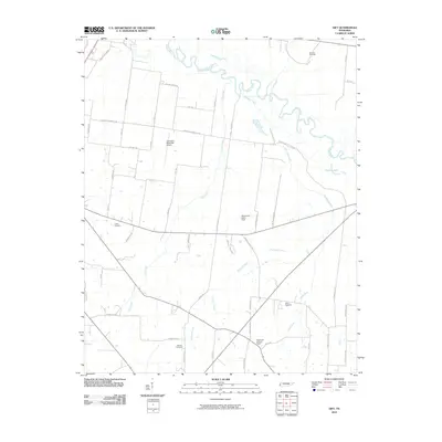 2010 Gift2010 Print · USGSCovington and the Hatchie River bottomlands are captured here in the early twenty-first century as a landscape of rural tradition and modern utility. Genealogists can locate family landmarks like Marrows Cemetery and Sharps Cemetery or trace the winding course of Richland Creek.
 - 2010 Map of Fowlkes, 2010 Print
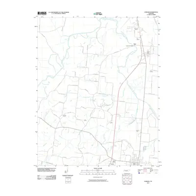 2010 Fowlkes2010 Print · USGSThe West Tennessee bottomlands near Halls appear here in the early twenty-first century as a landscape of rural crossroads and river bends. Genealogists can locate several family burial grounds, including King Cemetery, McCoy Cemetery, and the Parr Cemetery.
 - 2010 Map of Fort Pillow, 2010 Print
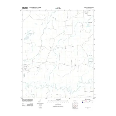 2010 Fort Pillow2010 Print · USGSLauderdale County terrain is mapped here during the early twenty-first century, showing the rural landscape around Pleasant Hill. Researchers can trace local lineage through numerous sites like Saint James Cemetery and New Hope Cemetery near the Hatchie River.
 - 2010 Map of Turnpike, 2010 Print
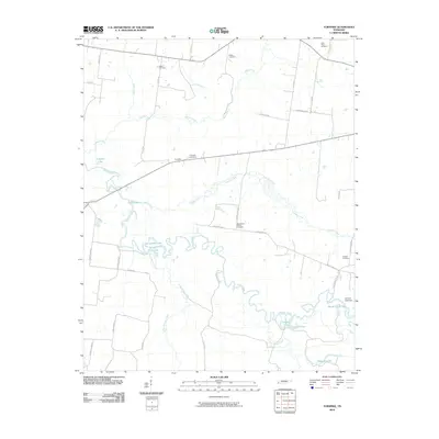 2010 Turnpike2010 Print · USGSThe Hatchie River bottomlands in Lauderdale County appear in detail during the early twenty-first century, showing a landscape defined by winding waterways and rural homesteads. Genealogists can locate family burial sites like Saint Peters Cemetery and Walker Cemetery or trace the old routes of Turnpike and Bono Ferry Rd.
 - 2010 Map of Gates, 2010 Print
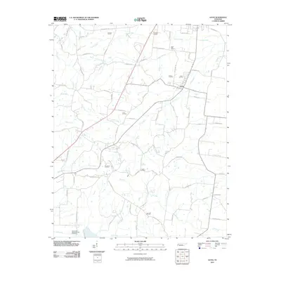 2010 Gates2010 Print · USGSLauderdale County at the start of the 21st century reflects a landscape of quiet rural endurance and family history. Researchers can locate numerous family burial grounds including Gates Cemetery, Woodville Cemetery, and Eureka Cemetery along the tributaries of Halls Creek.
 - 2010 Map of Gilt Edge, 2010 Print
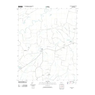 2010 Gilt Edge2010 Print · USGSTipton County in the early twenty-first century is a landscape of river bends and rural crossroads. Researchers can trace family history through sites like Smyrna Cemetery or explore the settlements of Gilt Edge and Burlison.
 - 2010 Map of Ripley North, 2010 Print
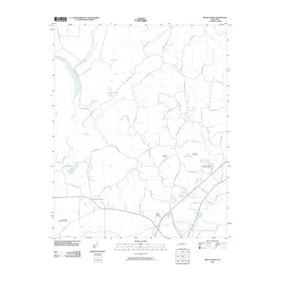 2010 Ripley North2010 Print · USGSLauderdale County at the start of the 2010s reveals a landscape shaped by both the Old Bed Forked Deer River and modern water management projects. Genealogists and historians can locate the New Hope Cemetery or trace the early development of the Flying I Ranch Airport.
 - 2010 Map of Bonicord, 2010 Print
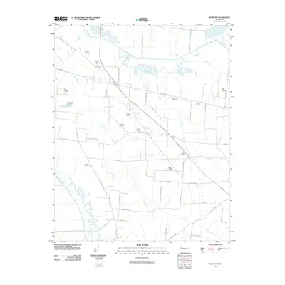 2010 Bonicord2010 Print · USGSCrockett County at the turn of the decade is a landscape defined by the winding paths of the North Fork Forked Deer River and South Fork Forked Deer River. Genealogists can trace family heritage through over a dozen local sites like Williams Chapel Cemetery, Saint Peter Cemetery, and Palestine Cemetery.
 - 2010 Map of Chestnut Bluff, 2010 Print
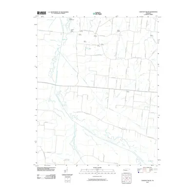 2010 Chestnut Bluff2010 Print · USGSCrockett County's river-bottom landscape is captured here in the early twenty-first century as agricultural roads connect generations of family land. Genealogists can trace local heritage through numerous burial sites like Carter Cemetery and Poston Cemetery near the South Fork Forked Deer River.
 - 2010 Map of Knob Creek, 2010 Print
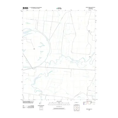 2010 Knob Creek2010 Print · USGSLauderdale County's river-bottom lands are mapped here in the decade following the millennium, showing where the rivers meet. Researchers can trace local landmarks like Hickory Landing or family-named routes such as Miss Kelly Loop and Dee Webb Rd.
 - 2011 Map of Chic, 2011 Print
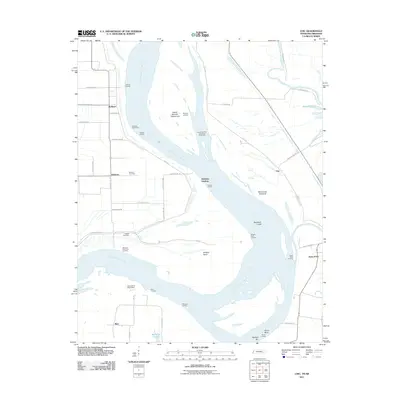 2011 Chic2011 Print · USGSThe Tennessee and Arkansas riverlands are captured here in the early twenty-first century, showing a landscape shaped by the Mississippi River. Researchers can trace old family names and sites like Buckner Cemetery, Hales Point, and the Needham Cutoff.
 - 2011 Map of Rosa, 2011 Print
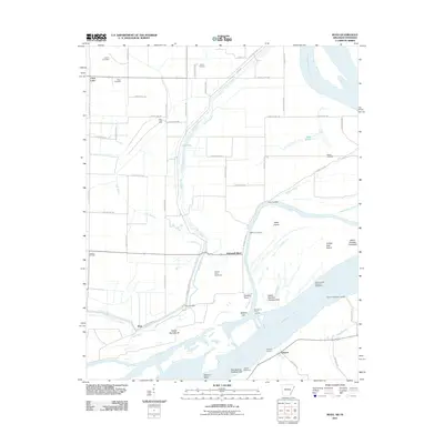 2011 Rosa2011 Print · USGSThe Mississippi River floodplain comes alive in this 2011 survey of the Arkansas-Tennessee border. Genealogists and local historians can trace family-named sites like Mann Cemetery and river access points including Sadie Lee Landing and Ashport.
 - 2011 Map of Nodena, 2011 Print
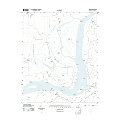 2011 Nodena2011 Print · USGSThe riverfronts of Arkansas and Tennessee meet here along the Mississippi during the early twenty-first century. Researchers can trace historic river landings and burial grounds such as Old Randolph Cemetery, Nodena, and Saw Mill Landing.
 - 2011 Map of Golddust, 2011 Print
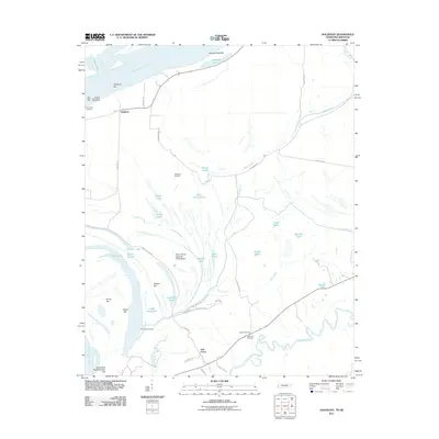 2011 Golddust2011 Print · USGSThe Tennessee-Arkansas borderlands come to life in this 2011 survey of the Mississippi River bottomlands. Researchers can locate family sites near Bates Cemetery, trace the old river bends of Jones Slough, and explore the river landing at Golddust.
 - 2011 Map of Armorel, 2011 Print
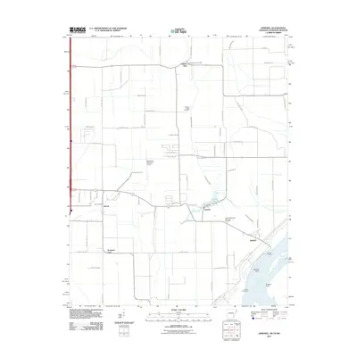 2011 Armorel2011 Print · USGSMississippi County at the start of the twenty-first century reveals a landscape defined by industrial drainage and riverfront life. Genealogists and local historians can trace family sites from Promised Land to the African Methodist Episcopal Cemetery and the uniquely named Number Nine.
 - 2011 Map of Open Lake, 2011 Print
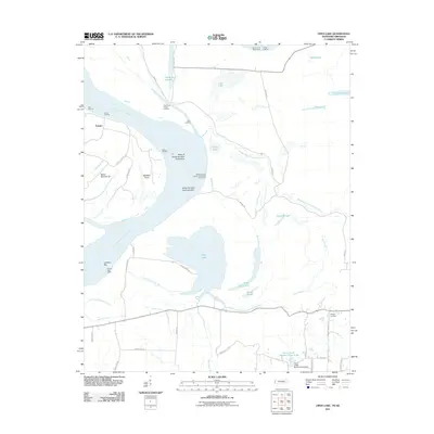 2011 Open Lake2011 Print · USGSThe Arkansas-Tennessee borderlands along the Mississippi River are shown here in the early twenty-first century, featuring riverfront landings and intricate bottomland bayous. Researchers can trace the river economy through Tomato Landing and Carr Landing, or find local family sites near Ashport Cemetery.
 - 2011 Map of Osceola, 2011 Print
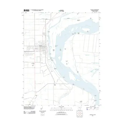 2011 Osceola2011 Print · USGSMississippi River industry and Arkansas delta settlements are detailed in this study of the Osceola area. Genealogists and local historians can trace the locations of Violet Cemetery, Driver Cemetery, and the riverfront Osceola Port Terminal.
 - 2011 Map of Luxora, 2011 Print
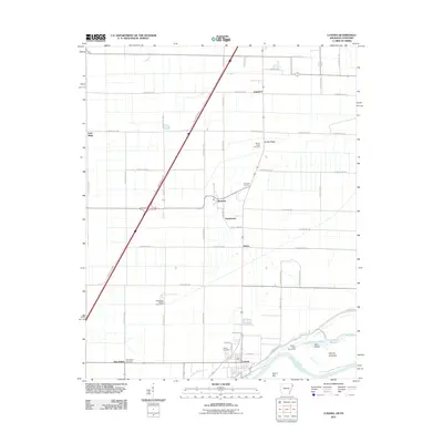 2011 Luxora2011 Print · USGSThe Mississippi River bottomlands near the Tennessee border are captured here just after the turn of the millennium. Researchers can trace rural cemeteries like Citizen Cemetery and small communities such as Burdette and Tuckertown.
 - 2013 Map of Turnpike, 2013 Print
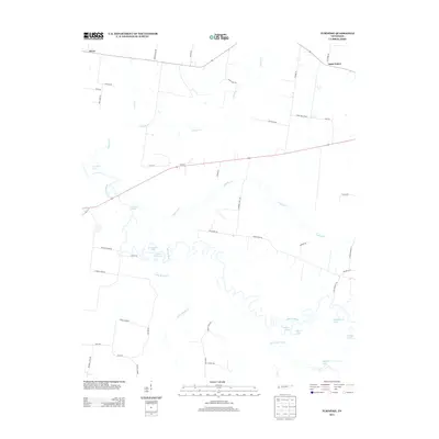 2013 Turnpike2013 Print · USGSThe bottomlands of the Hatchie River and the small rural crossroads of Turnpike are captured here in the early twenty-first century. Genealogists can trace family-named routes like Jess Rice Rd and explore river features like Horseshoe Lake.
 - 2013 Map of Gates, 2013 Print
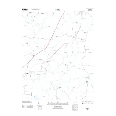 2013 Gates2013 Print · USGSWest Tennessee rural life is documented here in the early twenty-first century, showing the enduring hamlets of Lauderdale and Dyer counties. Genealogists can trace family connections through landmarks like Crossroads Cemetery Rd, Aunt Lillie Spur, and the settlement of Nankipoo.
 - 2013 Map of Fowlkes, 2013 Print
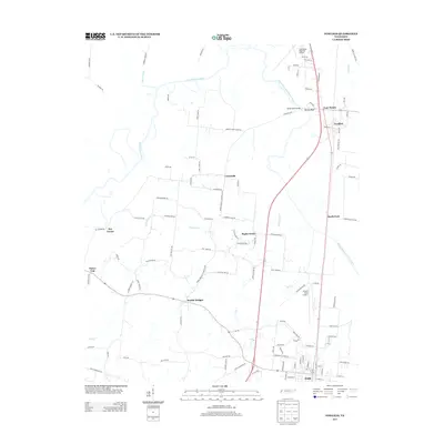 2013 Fowlkes2013 Print · USGSDyer County in the early 2010s is a landscape of river bottoms and rural crossroads settlements. Genealogists and local historians can trace family-named sites like Parr Cemetery or locate community hubs including Poplar Grove Church and the town of Halls.
 - 2013 Map of Bonicord, 2013 Print
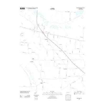 2013 Bonicord2013 Print · USGSCrockett County in the early twenty-first century remains a landscape of river-bottom lands and quiet crossroads. Genealogists and local historians can trace the rural layout of Bonicord, Hawkinsville, and Bruceville along the forks of the North Fork Forked Deer River.
 - 2013 Map of Golddust, 2013 Print
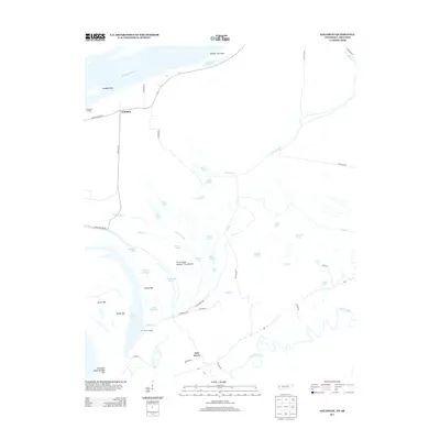 2013 Golddust2013 Print · USGSThe Tennessee-Arkansas borderland along the Mississippi River is captured here in the early twenty-first century. Researchers can trace riverfront life and hydrology through sites like Gold Dust Landing, Fort Pillow Landing, and the unique Convict Lake.
Showing maps 1-25 of 75
Top cities of Lauderdale County
Frequently asked questions
- What are the different types of historical maps available for Lauderdale County?
- What is the oldest map of Lauderdale County?
- Where can I purchase historical maps of Lauderdale County for my home or office?
- Where can I download high-res historical maps of Lauderdale County?
- Are there historical topographic maps available for Lauderdale County?
- Is there historical aerial imagery available for Lauderdale County?
- Where are historical maps of Lauderdale County sourced from?