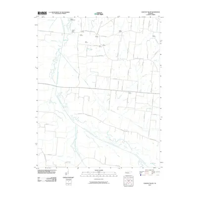
2010 Map of Chestnut Bluff
USGS Topo · Published 2010About this map
The South Fork Forked Deer River meanders through this West Tennessee landscape, creating a complex network of wetlands and channels including Halls Creek, Tisdale Creek, and Black Creek. This 2010 survey highlights a rural geography defined by its cemeteries, which serve as critical markers for local genealogists. Family-named burial grounds like Young Cemetery, Brooks Cemetery, and Albritton Cemetery are scattered throughout the quadrangle, often situated near historic road crossings. The topography is largely low-lying river bottomland, evidenced by features such as Island Number Six and the crossing at Chestnut Bluff Bridge. The map details a transition from the riparian environment near Bettis Lake to the higher ground of Happy Hollow, illustrating how early settlement patterns followed the slightly elevated ridges between the drainage basins of Bear Creek and Nixon Creek.
Find a feature on this map
65 named features on this map. Tap any name to fly to it.
Don’t see what you’re looking for? This feature index may not catch every label — zoom into the map to look around manually.
Map Details
Editions of this 2010 Chestnut Bluff Map
This is the sole edition of this map. No revisions or reprints were ever made.
Other maps of this area

1939 · Halls
USGS Topo · 1:62,500

1952 · Gates
USGS Topo · 1:24,000

1952 · Bonicord
USGS Topo · 1:24,000

1952 · Chestnut Bluff
USGS Topo · 1:24,000

1952 · Fowlkes
USGS Topo · 1:24,000

1956 · Blytheville
USGS Topo · 1:250,000

1959 · Blytheville
USGS Topo · 1:250,000

1961 · Jones
USGS Topo · 1:24,000

1961 · Halls
USGS Topo · 1:62,500
1964 · Tibbs
USGS Topo · 1:24,000