Old Maps of Lawrence County, Tennessee for Academic Research
Study the evolution of Lawrence County with 143 high-resolution historic maps. Whether you're teaching, researching, or modeling changes in land use, these maps provide essential visual documentation of urban, environmental, and geographic change.
- Analyze long-term change: Track patterns in development, transportation, and natural features.
- Ideal for environmental or urban studies: Support academic projects with primary historical map data.
- Use in the classroom or lab: Educators and researchers rely on these maps to bring historical context to life.
These maps are a powerful tool for teaching, research, and visualizing how Lawrence County has changed over the decades.
Lawrence County, TN maps
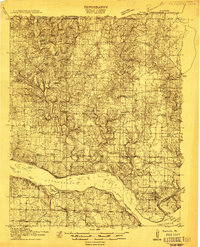
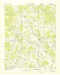
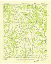
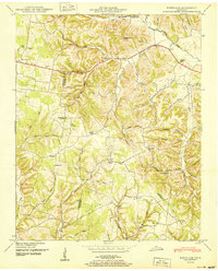
(143)- 1905 Map of Waynesboro
 1905 Waynesboro1905 Print · USGSWayne County and the Tennessee-Alabama borderlands are captured here at the start of the century, showing a network of river landings and old stage stands. Researchers can trace the Nathez Trace and locate historic community hubs like Martins Mills, Whittens Stand, and Clifton.2 unique versions available
 - 1914 Map of Rogersville
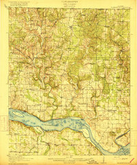
 1914 Rogersville1914 Print · USGSBefore the Tennessee River was dammed and widened, this area supported a dense network of river-linked communities. Trace the legacy of early families through landmarks like Lambs Ferry, Mitchell Mill, and the many rural sites like Sweet Gum Church.
 - 1916 Map of Rogersville
 1916 Rogersville1916 Print · USGSLauderdale County was a landscape of river-driven commerce and rural crossroads in the decade before the Tennessee River was transformed. Researchers can trace ancestral locations through dozens of named sites like Lambs Ferry, Hurricane Church, and the Muscle Shoals Canal.2 unique versions available
 - 1936 Map of Riverside
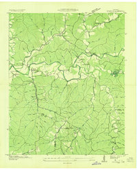 1936 Riverside1936 Print · USGSThe Buffalo River valley in the mid-1930s shows a landscape of small settlements and river crossings like Metal Ford. Trace family history at CCC Camp No 1472 or local landmarks like Ruppertown and Riverside Sch.
 - 1936 Map of Westpoint
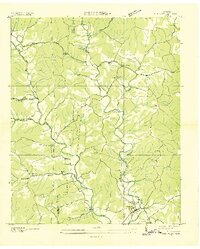 1936 Westpoint1936 Print · USGSThe Lawrence County backcountry comes into focus during the mid-1930s, showing a landscape of small creek-side settlements and rural schools. Genealogists can trace family roots through landmarks like Gallaher Cem, Lopps Chapel, and Springer Sch.
 - 1936 Map of Sandy Hook
 1936 Sandy Hook1936 Print · USGSThe rural borders of Maury and Giles counties are captured in the mid-thirties as a landscape of small ridges and rail-connected hamlets. Genealogists can trace family names and local landmarks like Scotts Mill, Jonestown, and Ettaton Sch before modern development changed these hills.
 - 1936 Map of Deerfield
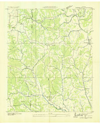
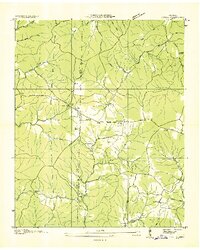
 1936 Deerfield1936 Print · USGSLawrence County, Tennessee, is captured here in the mid-1930s as a landscape of rural schools, small churches, and creek-bottom farms. Genealogists and local historians can locate specific landmarks like Mt Lebanon School, Pleasant Grove Church, and the settlement of Deerfield.
 - 1936 Map of Union Hill
 1936 Union Hill1936 Print · USGSThe Alabama and Tennessee borderlands are captured here in the mid-1930s as modern infrastructure arrived in a landscape of small family farms. Researchers can locate long-standing landmarks like Ridgeways Mill, Hester Cem, and the rural community of Good Springs.
 - 1936 Map of Henryville
 1936 Henryville1936 Print · USGSThe Tennessee hills between Lewis and Lawrence counties come into focus in the mid-1930s, showing a landscape defined by the winding Buffalo River. Researchers can trace old family roots at Henryville Cem or locate community centers like Garrotts Sch and Napier.
 - 1936 Map of Campbellsville
 1936 Campbellsville1936 Print · USGSGiles and Lawrence counties are shown here in the mid-1930s, documenting a rural landscape of scattered churches and family cemeteries. Trace the locations of historic community centers like Campbellsville, Rose Hill Sch, and St Matthews Ch.
 - 1936 Map of Lexington
 1936 Lexington1936 Print · USGSLauderdale County and the Tennessee state line appear here in the mid-1930s as rural life centered around small creek-side settlements. Genealogists can trace family landmarks like the Portertown Cemetery, Hammond School, and the local Ingram Mill.
 - 1936 Map of Lawrenceburg
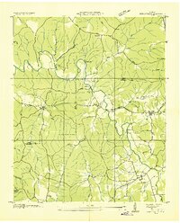
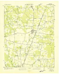
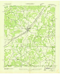
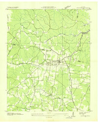
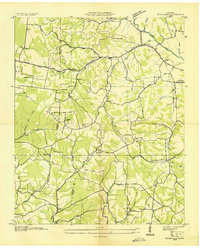
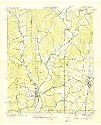
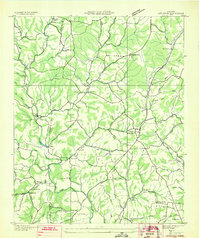
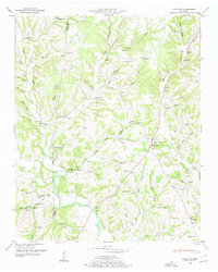
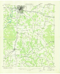 1936 Lawrenceburg1936 Print · USGSLawrence County enters the mid-1930s as a landscape of rural communities and emerging infrastructure tied to the Tennessee Valley Authority. Genealogists and local historians can trace family locations near Wesley Chapel, Bumpass Cem, and the old rail stops along the Louisville and Nashville Railroad.
 - 1936 Map of Ethridge
 1936 Ethridge1936 Print · USGSLawrence County settlements and rural schoolhouses are captured here in the mid-1930s as the regional infrastructure modernized. Researchers can locate family landmarks such as Lawrenceburg Sanitarium, New Liberty Sch, and the Zion Cem.
 - 1936 Map of Long Branch
 1936 Long Branch1936 Print · USGSLawrence County's rural landscape is captured here in the mid-1930s, showing a transition between traditional creek-side settlements and new transportation corridors. Researchers can locate the Stribling Orphan Home, small schools like Eagle Sch, and the rail stop at Springers Station.
 - 1936 Map of Loretto
 1936 Loretto1936 Print · USGSThe Tennessee and Alabama borderlands in the mid-1930s reveal a landscape of crossroads communities and early highway development. Genealogists can trace family footprints at Whites Store, Bishop Chapel, and the historic Old State House.
 - 1936 Map of Crestview
 1936 Crestview1936 Print · USGSThe Lawrence County highlands in the mid-1930s reveal a landscape shaped by the Louisville and Nashville Railroad and early rural electrification. Local historians can trace family roots through landmarks like Porter Chapel Sch, Pleasant Garden Ch, and the settlement of Rockdale.
 - 1936 Map of Bodenham
 1936 Bodenham1936 Print · USGSGiles and Lawrence Counties appear here in the mid-1930s, showing a landscape of traditional hollows and early electrification. Genealogists can locate family sites like Hughes Cem, Wilburn Chapel, and the settlement of Fall River.2 unique versions available
 - 1936 Map of St. Joseph
 1936 St. Joseph1936 Print · USGSThe Tennessee-Alabama borderlands come alive in the mid-1930s, showing a transition from rail-dependent industry to early highway travel. Researchers can trace the Louisville and Nashville Company line through Iron City and find rural landmarks like Wolf Creek Mill and Mt Lebo Sch.
 - 1936 Map of Appleton
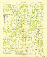
 1936 Appleton1936 Print · USGSGiles and Lawrence Counties are captured here in the mid-1930s, showing a rural landscape of creek-side settlements and family homesteads. Researchers can trace ancestral locations through numerous sites like Powell Cem, Appleton Sch, and Minor Hill.
 - 1936 Map of Bonnertown
 1936 Bonnertown1936 Print · USGSThe Tennessee-Alabama borderlands appear here in the mid-1930s, showing a rural landscape of ridges and hollows before modernization. Genealogists can locate family-named sites like St Truitt Cem, Richardson Chapel Sch, and the community of Bonnertown.
 - 1936 Map of Ovilla
 1936 Ovilla1936 Print · USGSThe border of Wayne and Lawrence Counties in the mid-1930s reveals a quiet landscape of rural schoolhouses and family cemeteries. Trace old property lines near Highland School, County Line Church, and the waters of the Little Buffalo River.
 - 1948 Map of Appleton
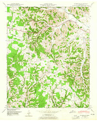
 1948 Appleton1948 Print · USGSThe rural borderlands of Giles and Lawrence Counties come alive in the late 1940s, showing a landscape of ridge-top farms and creek-side stores. Genealogists can locate family landmarks like Oxford Cem, the Sam Davis Monument, and the Liberty Hill Sch.
 - 1948 Map of Bodenham, 1965 Print
 1948 Bodenham1965 Print · USGSThe Tennessee hills at the Lawrence and Giles county line are captured here in the late 1940s. Researchers can trace rural life through numerous country landmarks like Choate Creek Church, Copperas Sch, and the community at New Prospect.2 unique versions available
 - 1948 Map of Union Hill, 1973 Print
 1948 Union Hill1973 Print · USGSThe Alabama-Tennessee borderlands appear here in the mid-twentieth century as a landscape of small farming hamlets and creek-side industry. Researchers can locate family landmarks like Ridgway Mill, Hester Chapel, and the McCraw Cem along the banks of Sugar Creek.
 - 1950 Map of Bodenham
 1950 Bodenham1950 Print · USGSGiles County in the years following World War II was a landscape of ridge-top farms and country schools. You can trace early property lines near New Prospect or locate family sites like Chestnut Grove Church and Copperas Sch.
Showing maps 1-25 of 143
Top cities of Lawrence County
Frequently asked questions
- What are the different types of historical maps available for Lawrence County?
- What is the oldest map of Lawrence County?
- Where can I purchase historical maps of Lawrence County for my home or office?
- Where can I download high-res historical maps of Lawrence County?
- Are there historical topographic maps available for Lawrence County?
- Is there historical aerial imagery available for Lawrence County?
- Where are historical maps of Lawrence County sourced from?