2000s (21st Century) Maps of Lawrence County, Tennessee
Explore 92 historic maps of Lawrence County from the 2000s (21st Century). These maps offer a rare glimpse into what life looked like during the 2000s — showing old roads, neighborhoods, homes, and landmarks that have changed or disappeared over time.
Whether you're researching your family's past, planning a metal detecting trip, or studying how Lawrence County's landscape evolved across the 2000s, these high-resolution maps are a powerful tool for exploring the history of this region.
- Focus on a specific era: All maps on this page are from the 2000s, giving you a focused view of this time period.
- See what’s changed: Compare century-old streets, trails, and buildings to today's modern landscape using overlays and satellite layers.
- Research with precision: Use these maps for genealogy, historical research, land use analysis, or educational projects.
- View, download, or print: Maps are fully viewable online in high resolution, and can be downloaded or printed for your own records.
Start exploring Lawrence County's history through authentic maps from the 2000s. This is your window into the past.
Lawrence County, TN maps
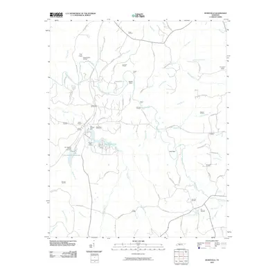
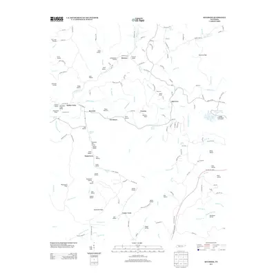
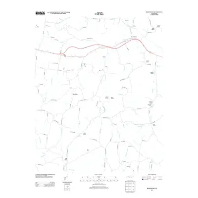
(92)- 2010 Map of Ovilla, 2010 Print
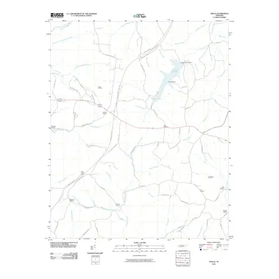 2010 Ovilla2010 Print · USGSCovers Lawrence County, including Highland, New Haven, and other nearby areas
 - 2010 Map of Long Branch, 2010 Print
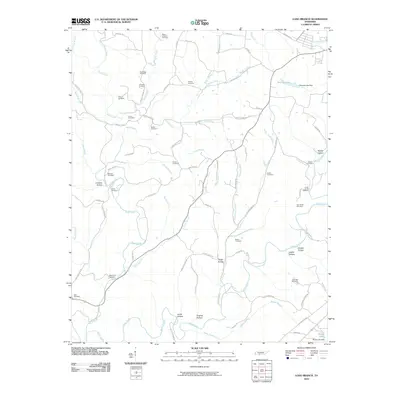 2010 Long Branch2010 Print · USGSCovers Lawrence County, including Lawrenceburg, Gandy, and other nearby areas
 - 2010 Map of Union Hill, 2010 Print
 2010 Union Hill2010 Print · USGSCovers Lawrence County, including Minor Hill, Lester, and other nearby areas
 - 2010 Map of Bonnertown, 2010 Print
 2010 Bonnertown2010 Print · USGSCovers Lawrence County, including Bird Mill, Bonnertown, and other nearby areas
 - 2010 Map of Riverside, 2010 Print
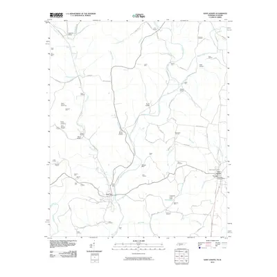
 2010 Riverside2010 Print · USGSCovers Lawrence County, including Kitchens, Turkey Track, and other nearby areas
 - 2010 Map of Ethridge, 2010 Print
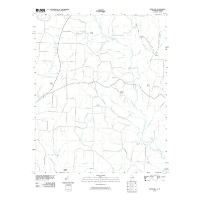
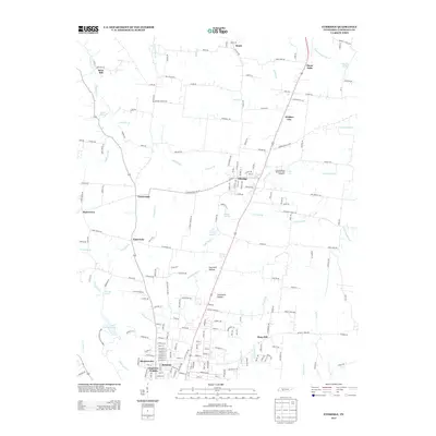
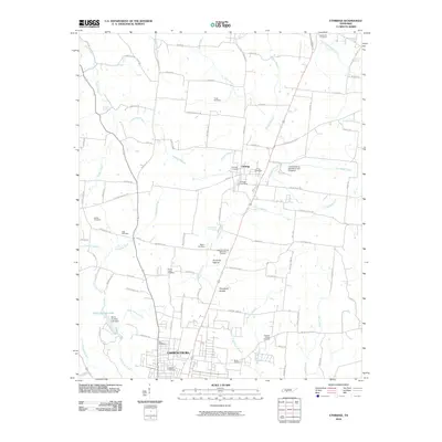 2010 Ethridge2010 Print · USGSCovers Lawrence County, including Lawrenceburg, Ethridge, and other nearby areas
 - 2010 Map of Lawrenceburg, 2010 Print
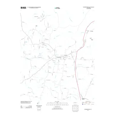
 2010 Lawrenceburg2010 Print · USGSCovers Lawrence County, including Lawrenceburg, Hood Lake, and other nearby areas
 - 2010 Map of Saint Joseph, 2010 Print
 2010 Saint Joseph2010 Print · USGSCovers Lawrence County, including Wayland Springs, Chinubee, and other nearby areas
 - 2010 Map of Westpoint, 2010 Print
 2010 Westpoint2010 Print · USGSCovers Lawrence County, including Hardwick Subdivision, Westpoint, and other nearby areas
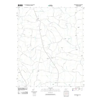
 - 2010 Map of Bodenham, 2010 Print
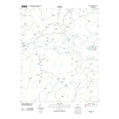
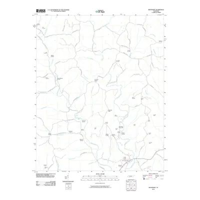
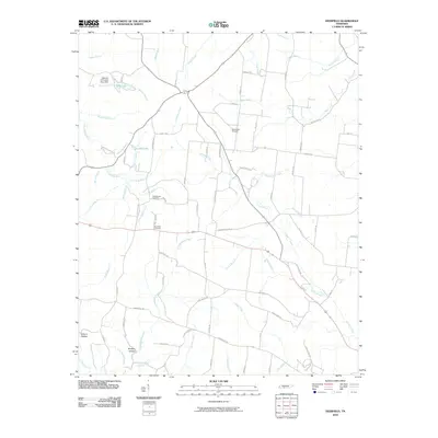
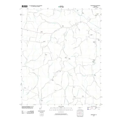 2010 Bodenham2010 Print · USGSCovers Lawrence County, including Bodenham, Westside, and other nearby areas
 - 2010 Map of Campbellsville, 2010 Print
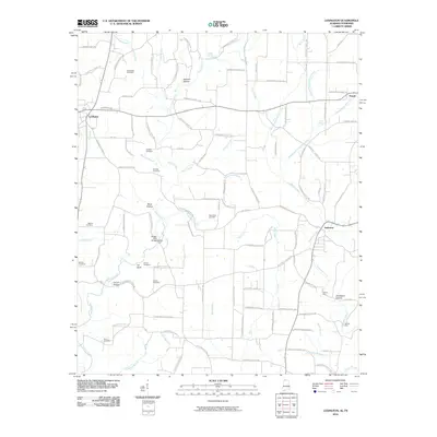
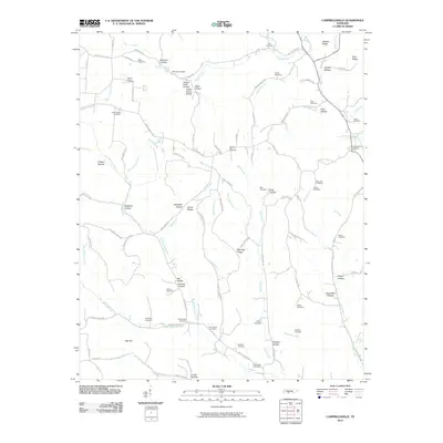 2010 Campbellsville2010 Print · USGSCovers Lawrence County, including Pleasant Valley, Campbellsville, and other nearby areas
 - 2010 Map of Lexington, 2010 Print
 2010 Lexington2010 Print · USGSCovers Lawrence County, including Lexington, Anderson, and other nearby areas
 - 2010 Map of Henryville, 2010 Print
 2010 Henryville2010 Print · USGSCovers Lawrence County, including Metal Ford, Barnesville, and other nearby areas
 - 2010 Map of Sandy Hook, 2010 Print
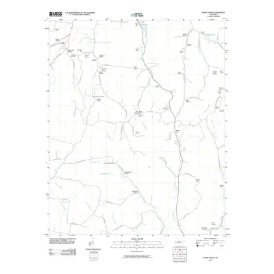 2010 Sandy Hook2010 Print · USGSCovers Lawrence County, including Jonestown, Scotts Mill, and other nearby areas
 - 2010 Map of Deerfield, 2010 Print
 2010 Deerfield2010 Print · USGSCovers Lawrence County, including Lawrenceburg, Center, and other nearby areas
 - 2010 Map of Summertown, 2010 Print
 2010 Summertown2010 Print · USGSCovers Lawrence County, including The Farm, Crestview, and other nearby areas
 - 2010 Map of Appleton, 2010 Print
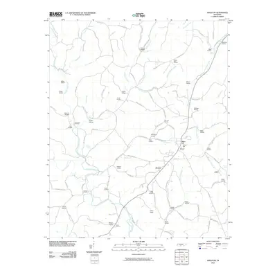 2010 Appleton2010 Print · USGSCovers Lawrence County, including Minor Hill, Sexton, and other nearby areas
 - 2010 Map of Loretto, 2010 Print
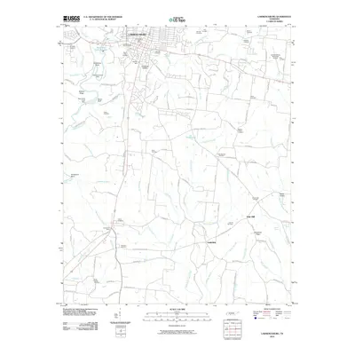
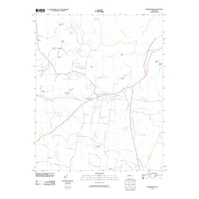
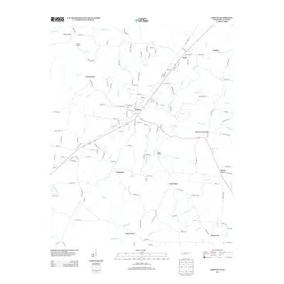
 2010 Loretto2010 Print · USGSCovers Lawrence County, including Loretto, Brown Crossroads, and other nearby areas
 - 2011 Map of Union Hill, 2011 Print
 2011 Union Hill2011 Print · USGSCovers Lawrence County, including Minor Hill, Lester, and other nearby areas
 - 2011 Map of Lexington, 2011 Print
 2011 Lexington2011 Print · USGSCovers Lawrence County, including Lexington, Anderson, and other nearby areas
 - 2013 Map of Riverside, 2013 Print
 2013 Riverside2013 Print · USGSCovers Lawrence County, including Kitchens, Turkey Track, and other nearby areas
 - 2013 Map of Ethridge, 2013 Print
 2013 Ethridge2013 Print · USGSCovers Lawrence County, including Lawrenceburg, Ethridge, and other nearby areas
 - 2013 Map of Summertown, 2013 Print
 2013 Summertown2013 Print · USGSCovers Lawrence County, including The Farm, Crestview, and other nearby areas
 - 2013 Map of Loretto, 2013 Print
 2013 Loretto2013 Print · USGSCovers Lawrence County, including Loretto, Brown Crossroads, and other nearby areas
 - 2013 Map of Bodenham, 2013 Print
 2013 Bodenham2013 Print · USGSCovers Lawrence County, including Bodenham, Westside, and other nearby areas
Showing maps 1-25 of 92
Top cities of Lawrence County
Frequently asked questions
- What are the different types of historical maps available for Lawrence County?
- What is the oldest map of Lawrence County?
- Where can I purchase historical maps of Lawrence County for my home or office?
- Where can I download high-res historical maps of Lawrence County?
- Are there historical topographic maps available for Lawrence County?
- Is there historical aerial imagery available for Lawrence County?
- Where are historical maps of Lawrence County sourced from?