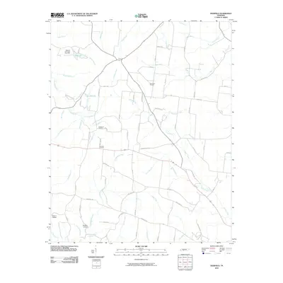
2010 Map of Deerfield
USGS Topo · Published 2010About this map
Deerfield Cemetery and the crossroads community it serves anchor this rural portion of Lawrence County, where small-scale agriculture and watercourses define the landscape. The Little Buffalo River winds through the western portion of the area, joined by numerous tributaries like Theasing Branch and Patterson Branch. To the north, the Veterans of Foreign Wars Dam creates the distinct pool of VFW Lake on Weaver Branch.
Find a feature on this map
83 named features on this map. Tap any name to fly to it.
Don’t see what you’re looking for? This feature index may not catch every label — zoom into the map to look around manually.
Map Details
Editions of this 2010 Deerfield Map
This is the sole edition of this map. No revisions or reprints were ever made.
Other maps of this area

1905 · Waynesboro
USGS Topo · 1:125,000

1936 · Riverside
USGS Topo · 1:24,000

1936 · Westpoint
USGS Topo · 1:24,000

1936 · Deerfield
USGS Topo · 1:24,000

1936 · Henryville
USGS Topo · 1:24,000

1936 · Lawrenceburg
USGS Topo · 1:24,000

1936 · Ethridge
USGS Topo · 1:24,000

1936 · Long Branch
USGS Topo · 1:24,000

1936 · Crestview
USGS Topo · 1:24,000

1936 · Ovilla
USGS Topo · 1:24,000