Old Maps of Blondy, Hohenwald for Hiking & Exploration
Hike through history with 9 historic maps of Blondy. Explore old trails, ghost towns, and forgotten backroads — perfect for outdoor adventurers and local explorers.
- Rediscover forgotten places: Map out old mining camps, roads, and footpaths that no longer exist on modern maps.
- Layer with modern tools: Combine with LiDAR or satellite views to plan hikes through historical terrain.
- Made for exploration: Popular among hikers, overlanders, and local history lovers.
Use these maps to find adventure and explore the hidden past of Blondy.
Blondy, Hohenwald maps
(9)- 1936 Map of Kimmins
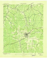 1936 Kimmins1936 Print · USGSLewis County life in the mid-1930s revolves around the rail town of Hohenwald. Genealogists can trace family landmarks like Skelton Sch and the Swiss Cem, while historians can follow the Nashville Chattanooga and St Louis railway.
 - 1951 Map of Kimmins, 1956 Print
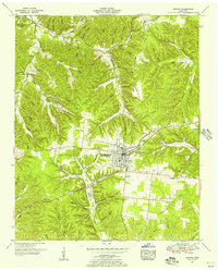 1951 Kimmins1956 Print · USGSLewis County in the early fifties is shown here at the intersection of traditional hill-country life and new postwar infrastructure. Researchers can trace family sites like Skelton Sch, find the Swiss Cem near Hohenwald, or locate the dismantled railroad bed.3 unique versions available
 - 1956 Map of Columbia, 1960 Print
 1956 Columbia1960 Print · USGSMiddle Tennessee in the mid-fifties presents a landscape of established river towns and critical rail hubs before the arrival of the modern interstate system. Researchers can trace the routes of the Louisville and Nashville railroad or locate historic landmarks like Stones River National Military Park and the Tennessee National Wildlife Refuge.6 unique versions available
 - 1986 Map of Hohenwald
 1986 Hohenwald1986 Print · USGSThe Western Highland Rim of Tennessee comes into focus during the mid-eighties, showing the deep river valleys and high ridges of Lewis and Perry counties. Researchers can trace the path of the Natchez Trace Parkway or locate interior settlements like Chestnut Grove, Farmers Exchange, and Hustburg.3 unique versions available
 - 2010 Map of Hohenwald, 2010 Print
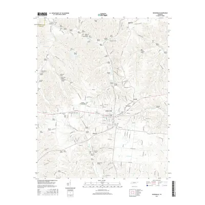
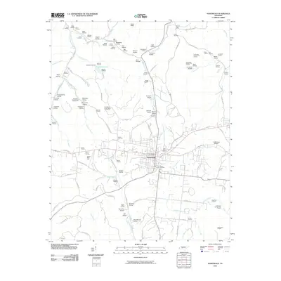 2010 Hohenwald2010 Print · USGSCovers Blondy, including Hohenwald, Shubert, and other nearby areas
 - 2013 Map of Hohenwald, 2013 Print
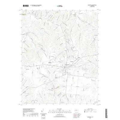
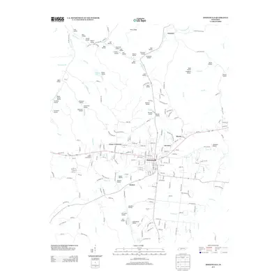 2013 Hohenwald2013 Print · USGSCovers Blondy, including Hohenwald, Shubert, and other nearby areas
 - 2016 Map of Hohenwald, 2016 Print
 2016 Hohenwald2016 Print · USGSCovers Blondy, including Hohenwald, Shubert, and other nearby areas
 - 2019 Map of Hohenwald, 2019 Print
 2019 Hohenwald2019 Print · USGSCovers Blondy, including Hohenwald, Shubert, and other nearby areas
 - 2022 Map of Hohenwald, 2022 Print
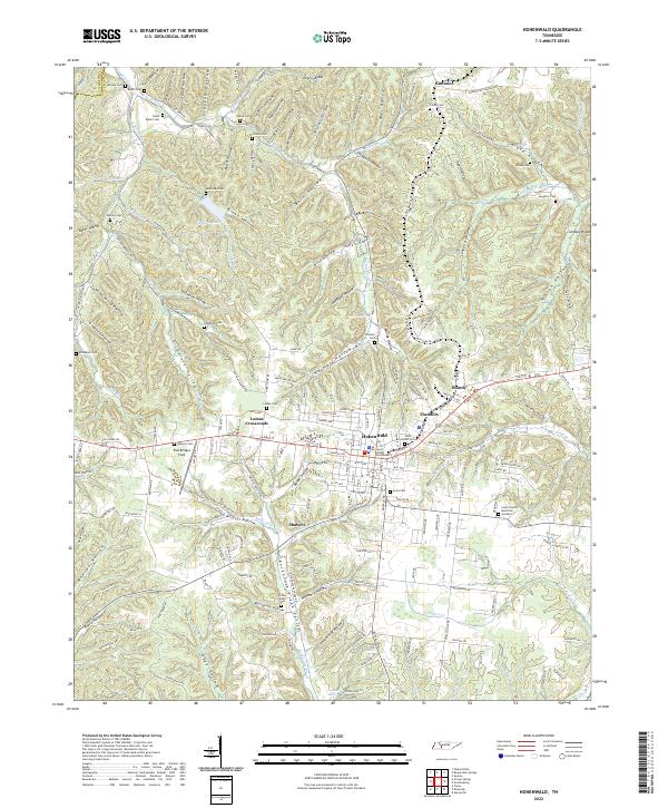 2022 Hohenwald2022 Print · USGSHohenwald and the surrounding Lewis County hollows are captured in 2022, showcasing a landscape defined by deep valleys and high ridges. Family historians can pinpoint numerous burial sites like Talley Cem and Lomax Cem or trace the rural crossroads at Blondy and Theodore.
End of results
Showing maps 1-9 of 9
Top cities near Blondy
- Hohenwald historical maps
- Centerville historical maps
- Waynesboro historical maps
- Ethridge historical maps
- The Farm historical maps
Frequently asked questions
- What are the different types of historical maps available for Blondy?
- What is the oldest map of Blondy?
- Where can I purchase historical maps of Blondy for my home or office?
- Where can I download high-res historical maps of Blondy?
- Are there historical topographic maps available for Blondy?
- Is there historical aerial imagery available for Blondy?
- Where are historical maps of Blondy sourced from?