Old Maps of Champ, Tennessee for Academic Research
Study the evolution of Champ with 9 high-resolution historic maps. Whether you're teaching, researching, or modeling changes in land use, these maps provide essential visual documentation of urban, environmental, and geographic change.
- Analyze long-term change: Track patterns in development, transportation, and natural features.
- Ideal for environmental or urban studies: Support academic projects with primary historical map data.
- Use in the classroom or lab: Educators and researchers rely on these maps to bring historical context to life.
These maps are a powerful tool for teaching, research, and visualizing how Champ has changed over the decades.
Champ, TN maps
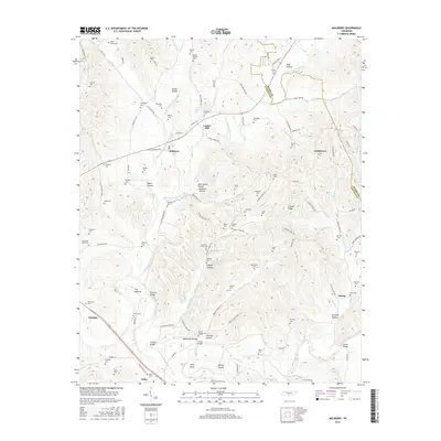
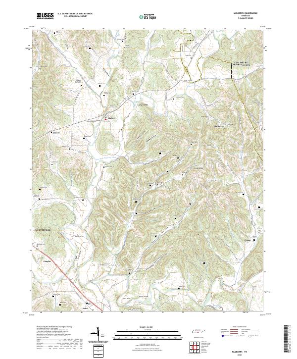
(9)- 1936 Map of Mulberry
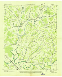 1936 Mulberry1936 Print · USGSMiddle Tennessee's river valleys come alive in the mid-1930s, showing the early reach of the TVA and the local rail network. Trace the paths to Lockes Mill, Lloyd Chapel, and family sites like Cowley Cem or Smith Cem.
 - 1947 Map of Mulberry, 1948 Print
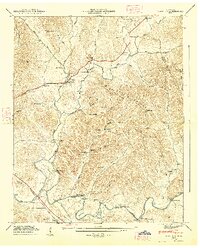 1947 Mulberry1948 Print · USGSLincoln County and Moore County communities thrive along the Elk River and its tributaries during the late 1940s. Genealogists and historians can trace family homesteads through over a dozen named burial sites like Renegar Cem, find landmarks like Lockes Mill, and locate the Moore Chapel Sch.3 unique versions available
 - 1956 Map of Columbia, 1960 Print
 1956 Columbia1960 Print · USGSMiddle Tennessee in the mid-fifties presents a landscape of established river towns and critical rail hubs before the arrival of the modern interstate system. Researchers can trace the routes of the Louisville and Nashville railroad or locate historic landmarks like Stones River National Military Park and the Tennessee National Wildlife Refuge.6 unique versions available
 - 1981 Map of Tullahoma, 1982 Print
 1981 Tullahoma1982 Print · USGSSouthern Tennessee enters the 1980s with a mix of aerospace technology and deep rural roots. Researchers can trace the L & N RR through Shelbyville and Fayetteville or locate family sites like Old Salem Cem and Blanton Chapel near the Cumberland Plateau.
 - 2010 Map of Mulberry, 2010 Print
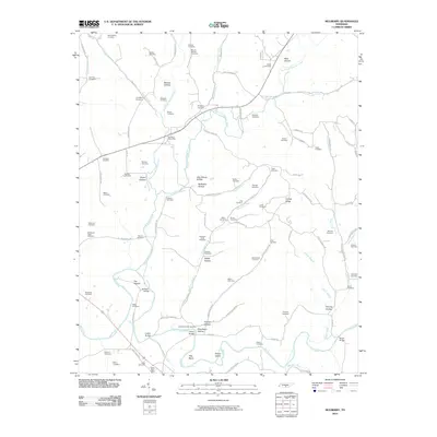 2010 Mulberry2010 Print · USGSCovers Champ, including Fayetteville, Douglas, and other nearby areas
 - 2013 Map of Mulberry, 2013 Print
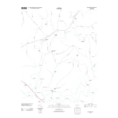 2013 Mulberry2013 Print · USGSCovers Champ, including Fayetteville, Douglas, and other nearby areas
 - 2016 Map of Mulberry, 2016 Print
 2016 Mulberry2016 Print · USGSCovers Champ, including Fayetteville, Douglas, and other nearby areas
 - 2019 Map of Mulberry, 2019 Print
 2019 Mulberry2019 Print · USGSCovers Champ, including Fayetteville, Douglas, and other nearby areas
 - 2022 Map of Mulberry, 2022 Print
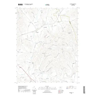
 2022 Mulberry2022 Print · USGSLincoln County and the Moore County line meet in this landscape of river bends and family homesteads during the early twenty-first century. Genealogists can trace deep local roots through dozens of named burial sites like Mount Moriah Cem and the Stephens-Carter Cem near Mulberry.
End of results
Showing maps 1-9 of 9
Top cities near Champ
- Tullahoma historical maps
- Winchester historical maps
- Fayetteville historical maps
- Hazel Green historical maps
- Estill Springs historical maps
- Huntland historical maps
Frequently asked questions
- What are the different types of historical maps available for Champ?
- What is the oldest map of Champ?
- Where can I purchase historical maps of Champ for my home or office?
- Where can I download high-res historical maps of Champ?
- Are there historical topographic maps available for Champ?
- Is there historical aerial imagery available for Champ?
- Where are historical maps of Champ sourced from?