Old Maps of Egam, Tennessee for Academic Research
Study the evolution of Egam with 10 high-resolution historic maps. Whether you're teaching, researching, or modeling changes in land use, these maps provide essential visual documentation of urban, environmental, and geographic change.
- Analyze long-term change: Track patterns in development, transportation, and natural features.
- Ideal for environmental or urban studies: Support academic projects with primary historical map data.
- Use in the classroom or lab: Educators and researchers rely on these maps to bring historical context to life.
These maps are a powerful tool for teaching, research, and visualizing how Egam has changed over the decades.
Egam, TN maps
(10)- 1936 Map of Boonshill
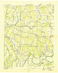 1936 Boonshill1936 Print · USGSLincoln County at the height of the 1930s reveals a landscape of tight-knit farming communities and early industrial sites along the river. Genealogists can trace family roots through numerous sites like Sulphur Springs Cem, Boonshill Sch, and Antioch Ch.2 unique versions available
 - 1949 Map of Boonshill, 1982 Print
 1949 Boonshill1982 Print · USGSLincoln County at the midpoint of the century reveals a landscape of winding river bends and small upland settlements. Genealogists can trace family footprints at Cathey Cem, Boonshill, and rural landmarks like Browns Temple Church.
 - 1951 Map of Boonshill
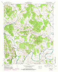
 1951 Boonshill1951 Print · USGSMid-century Lincoln County is shown here during a time of established rural church and school life. Researchers can trace family-named landmarks like Childress Cem, find the location of Boonshill Sch, and follow the path of OLD FISHING FORD ROAD along the ELK RIVER.2 unique versions available
 - 1956 Map of Columbia, 1960 Print
 1956 Columbia1960 Print · USGSMiddle Tennessee in the mid-fifties presents a landscape of established river towns and critical rail hubs before the arrival of the modern interstate system. Researchers can trace the routes of the Louisville and Nashville railroad or locate historic landmarks like Stones River National Military Park and the Tennessee National Wildlife Refuge.6 unique versions available
 - 1981 Map of Tullahoma, 1982 Print
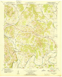
 1981 Tullahoma1982 Print · USGSSouthern Tennessee enters the 1980s with a mix of aerospace technology and deep rural roots. Researchers can trace the L & N RR through Shelbyville and Fayetteville or locate family sites like Old Salem Cem and Blanton Chapel near the Cumberland Plateau.
 - 2010 Map of Boonshill, 2010 Print
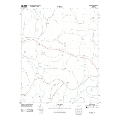 2010 Boonshill2010 Print · USGSCovers Egam, including Pearl City, Hughey, and other nearby areas
 - 2013 Map of Boonshill, 2013 Print
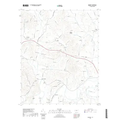
 2013 Boonshill2013 Print · USGSCovers Egam, including Pearl City, Hughey, and other nearby areas
 - 2016 Map of Boonshill, 2016 Print
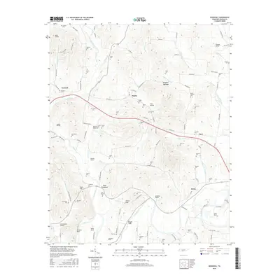 2016 Boonshill2016 Print · USGSCovers Egam, including Pearl City, Hughey, and other nearby areas
 - 2019 Map of Boonshill, 2019 Print
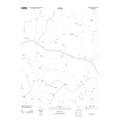
 2019 Boonshill2019 Print · USGSCovers Egam, including Pearl City, Hughey, and other nearby areas
 - 2022 Map of Boonshill, 2022 Print
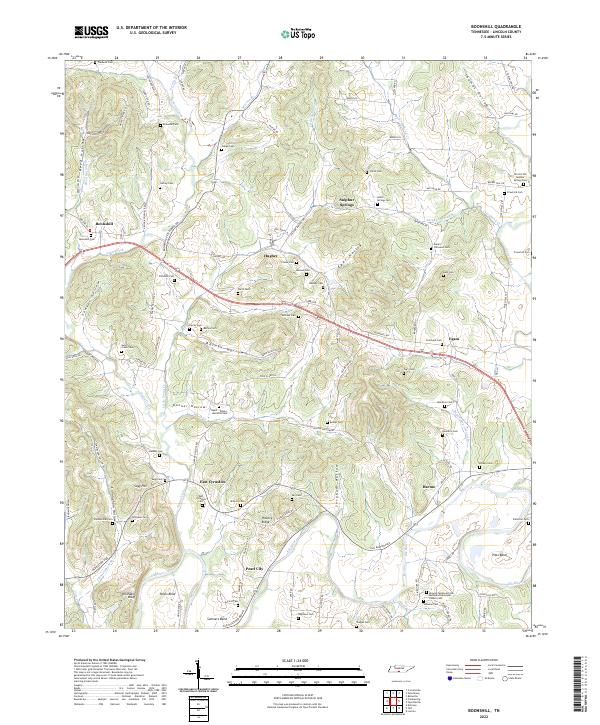 2022 Boonshill2022 Print · USGSLincoln County, Tennessee, remains a landscape of deep-cut hollows and winding creek beds in the early twenty-first century. Genealogists can trace family lineages through dozens of local sites like East Cyruston Cem, Swan Creek Cem, and the Sullivan Cem.
End of results
Showing maps 1-10 of 10
Top cities near Egam
- Fayetteville historical maps
- Ardmore historical maps
- Cornersville historical maps
- Petersburg historical maps
Frequently asked questions
- What are the different types of historical maps available for Egam?
- What is the oldest map of Egam?
- Where can I purchase historical maps of Egam for my home or office?
- Where can I download high-res historical maps of Egam?
- Are there historical topographic maps available for Egam?
- Is there historical aerial imagery available for Egam?
- Where are historical maps of Egam sourced from?