Old Maps of Loudon County, Tennessee for Metal Detecting
Plan your next treasure hunt with 120 historic maps of Loudon County. Find old homesites, ghost towns, trails, and gathering spots that may be lost to time — perfect for identifying promising metal detecting locations.
- Locate forgotten sites: Uncover places like long-lost settlements, abandoned rail lines, or gathering spots.
- Plan better hunts: Use map overlays combined with LiDAR or satellite views to narrow in on historically rich areas.
- Made for detectorists: Thousands of hobbyists use these maps to discover relics, coins, and hidden history.
Use these historic maps to boost your research and find new opportunities beneath the surface of Loudon County.
Loudon County, TN maps
(120)- 1887 Map of Kingston
 1887 Kingston1887 Print · USGSCentral Tennessee in the late nineteenth century was a world of river landings and new rail lines. Genealogists can trace family roots through riverside sites like Sevier's Ferry or rural hubs like Bogges X Roads and Ten Mile Stand.
 - 1891 Map of Kingston
 1891 Kingston1891 Print · USGSEastern Tennessee in the 1890s reveals a river-driven economy at the edge of the Cumberland Plateau. Genealogists can trace early crossings and landings such as Mc Elwee's Ferry and Pinhook Landing, or locate vanished crossroads like Kemmers Old Stand.2 unique versions available
 - 1893 Map of Kingston, 1905 Print
 1893 Kingston1905 Print · USGSEastern Tennessee at the end of the nineteenth century is a landscape of mountain gaps and vital river landings. Researchers can trace early river crossings like Jackson Ferry, the path of the Cincinnati Southern Railroad, and settlements like Rhea Springs and Kingston.5 unique versions available
 - 1895 Map of Loudon
 1895 Loudon1895 Print · USGSEastern Tennessee is mapped here during a decade of rail expansion and river-based commerce. Genealogists and historians can trace family-named river crossings and early industry at Huff Ferry, Hiwassee College, and Brick Mill.6 unique versions available
 - 1935 Map of Niota
 1935 Niota1935 Print · USGSNiota and the surrounding McMinn County countryside are shown here in the mid-1930s as the rail and highway network began to modernize the region. Researchers can locate early rural landmarks like Murphys Store, the Flume Mill, and several country schools including Pine Grove Sch.
 - 1935 Map of Meadow
 1935 Meadow1935 Print · USGSThe Little Tennessee River riverfront was still defined by historic crossings in the mid-1930s before modern bridges changed the landscape. You can trace early family landholdings and community sites like Morganton Ferry, Unitia Sch, and Greenback.
 - 1935 Map of Lenoir City
 1935 Lenoir City1935 Print · USGSThe Tennessee and Little Tennessee rivers converge here in the mid-1930s, showing a landscape of river bends and ferries. Genealogists can trace family landmarks like Cardwells Chapel, Oral Cem, and the Loudon County Farm.
 - 1935 Map of Bethel Valley
 1935 Bethel Valley1935 Print · USGSEastern Tennessee in the mid-1930s was a landscape of ridge-and-valley farms along the Clinch River. Genealogists and historians can trace the foundations of local life through the George Jones Memorial Ch, Wheat, and the White Wing Ferry.
 - 1935 Map of Philadelphia
 1935 Philadelphia1935 Print · USGSEastern Tennessee valley life comes into focus as the Tennessee Valley Authority begins its work. Genealogists can trace family roots through landmarks like Snows School, Reed Spring Church, and the settlement of Adolphus.
 - 1935 Map of Lovell
 1935 Lovell1935 Print · USGSKnox County was a landscape of river crossings and ridge-top communities in the mid-1930s. Genealogists and local historians can trace family locations through rural landmarks like Gallaher Ferry, Grigsby Chapel, and Grand Caverns.
 - 1935 Map of Vonore
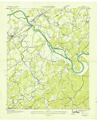 1935 Vonore1935 Print · USGSThe river valleys of eastern Tennessee are captured here in the mid-1930s, showing the early infrastructure of Monroe and Loudon counties. Genealogists can trace family landmarks like Bacon Ferry, the Fort Loudoun Monument, and Trigonia Sch.
 - 1936 Map of Cave Creek
 1936 Cave Creek1936 Print · USGSThe river valleys of Roane and Loudon Counties are captured here in the mid-1930s before decades of modernization. Genealogists can trace family landmarks like Ladd Cem, Norman Cem, and schools such as Matlock School and Beech Grove School.
 - 1936 Map of Madisonville
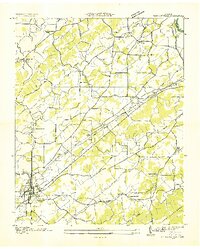 1936 Madisonville1936 Print · USGSMadisonville and the surrounding Monroe County countryside are captured here during the transformative mid-thirties era of rural electrification. Researchers can trace the grounds of Hiwassee College or locate vanished local landmarks like Hopewell Springs and Sequoyah Sch.
 - 1936 Map of Pattie Gap
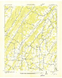 1936 Pattie Gap1936 Print · USGSRoane County and its neighboring valleys are captured in detail during the mid-1930s as the Tennessee Valley Authority began its regional work. Genealogists and historians can trace the foundations of rural life through family-named landmarks like Morrison Store, Gage Hill, and Cook Mill.
 - 1936 Map of Friendship
 1936 Friendship1936 Print · USGSEast Tennessee in the mid-1930s is documented here at a turning point for the river and rail landscape of Knox and Blount counties. Genealogists can trace family names at Mt Zion Ch, Martel Sch, and the riverside settlement of Louisville before the valley landscape was transformed.
 - 1936 Map of Loudon
 1936 Loudon1936 Print · USGSLoudon County in the mid-1930s is documented here as the Tennessee Valley Authority began its monumental work along the river. Genealogists can locate family-named landmarks and community centers like Eve Mills, Huff Ferry, and Cumberland Stand Ch.
 - 1936 Map of Concord
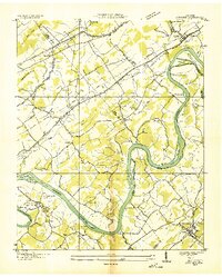 1936 Concord1936 Print · USGSThe Tennessee and Little Tennessee rivers wind through the borders of Knox, Loudon, and Blount counties in the mid-1930s. Researchers can locate early family landmarks like Long Tom Cem, Burnett Sch, and the riverside hamlet of Unitia.
 - 1940 Map of Loudon
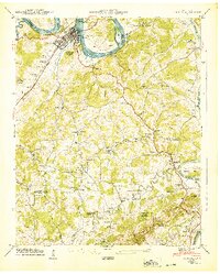 1940 Loudon1940 Print · USGSTennessee river life and rural industry meet in the early 1940s as the river valley begins to transform. Genealogists and historians can trace family landmarks like Eve-Mills, Huff Ferry, and the Maple Spring Wadkins Cem.
 - 1940 Map of Lenoir City
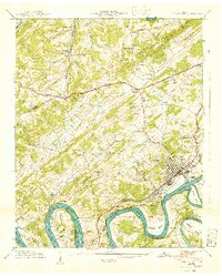 1940 Lenoir City1940 Print · USGSLoudon and Roane counties are captured here just as the Tennessee Valley Authority was reshaping the river landscape. Researchers can trace family-named sites like Brazeale Cem, old schoolhouses such as Oak Grove Sch, and historic river crossings at Bussell Ferry.2 unique versions available
 - 1940 Map of Concord
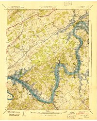 1940 Concord1940 Print · USGSThe Tennessee River valley near Concord and Friendsville is captured here just as the TVA was transforming the local landscape. Researchers can locate early family sites like Prater Cem, the historic Ft Loudoun site, and the Leeper Ferry (Abandoned).4 unique versions available
 - 1940 Map of Meadow
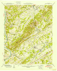 1940 Meadow1940 Print · USGSLoudon and Blount Counties appear here in the early 1940s, just as the local river-and-rail economy defined daily life. Genealogists and researchers can trace historic river crossings like Morganton Ferry or find rural landmarks like Axley Chapel and Greenback.
 - 1940 Map of Madisonville
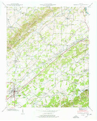 1940 Madisonville1940 Print · USGSMonroe County at the start of the 1940s reveals a landscape of ridges and creek-fed valleys centered on the rail hub of Madisonville. Researchers can trace old family sites and rural institutions like Hiwassee College, White Cem, and the Sequoyah Sch.4 unique versions available
 - 1940 Map of Philadelphia
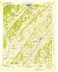 1940 Philadelphia1940 Print · USGSThe Tennessee Valley just before the height of the war era shows a landscape of ridge-top schools and creek-side settlements. Researchers can trace ancestral locations at Philadelphia, the Roberson Cem, and rural centers like New Hope Ch.
 - 1940 Map of Cave Creek
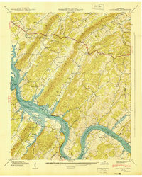 1940 Cave Creek1940 Print · USGSThe Tennessee River valley stands on the brink of transformation in 1940 as the Watts Bar project prepares to reshape the landscape. Researchers can trace old routes like the Old Walton Road and find family landmarks such as Ladd Cem and Dogwood Sch.
 - 1940 Map of Pattie Gap
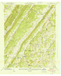 1940 Pattie Gap1940 Print · USGSThe rural valleys of East Tennessee are captured here in 1940, showing a landscape of small farmsteads and family-named landmarks. Researchers can trace ancestral roots through sites like the Fuller Cem, Morrison Store, and Dry Fork Sch.
Showing maps 1-25 of 120
Top cities of Loudon County
- Lenoir City historical maps
- Tellico Village historical maps
- Loudon historical maps
- Greenback historical maps
- Philadelphia historical maps
Frequently asked questions
- What are the different types of historical maps available for Loudon County?
- What is the oldest map of Loudon County?
- Where can I purchase historical maps of Loudon County for my home or office?
- Where can I download high-res historical maps of Loudon County?
- Are there historical topographic maps available for Loudon County?
- Is there historical aerial imagery available for Loudon County?
- Where are historical maps of Loudon County sourced from?