Old Maps of Sturdivant Crossing, Tennessee for Academic Research
Study the evolution of Sturdivant Crossing with 10 high-resolution historic maps. Whether you're teaching, researching, or modeling changes in land use, these maps provide essential visual documentation of urban, environmental, and geographic change.
- Analyze long-term change: Track patterns in development, transportation, and natural features.
- Ideal for environmental or urban studies: Support academic projects with primary historical map data.
- Use in the classroom or lab: Educators and researchers rely on these maps to bring historical context to life.
These maps are a powerful tool for teaching, research, and visualizing how Sturdivant Crossing has changed over the decades.
Sturdivant Crossing, TN maps
(10)- 1956 Map of Blytheville, 1964 Print
 1956 Blytheville1964 Print · USGSWest Tennessee and the Arkansas Delta come alive in this mid-century survey of the river-and-rail corridor connecting Memphis to Jackson. Genealogists and historians can trace the rail lines of the Louisville and Nashville RR and locate landmarks like Western State Hospital or Fort Pillow State Prison Farm.2 unique versions available
 - 1959 Map of Blytheville
 1959 Blytheville1959 Print · USGSWest Tennessee and Northeast Arkansas meet along the river in the late fifties, during a period of steady industrial and agricultural growth. Genealogists can trace the rail corridors of the Illinois Central through Jackson or explore landmarks like Shiloh National Military Park and Fort Pillow State Prison.
 - 1961 Map of Mercer, 1964 Print
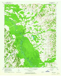 1961 Mercer1964 Print · USGSThe Hatchie River floodplain in the early sixties is a landscape of oxbow lakes and rail-side settlements. Researchers can trace family history at Hayes Chapel Cem, find the site of the Brown Sch, or locate the Old Ferry Landing.2 unique versions available
 - 1971 Map of Whiteville
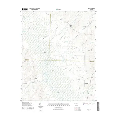
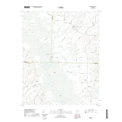
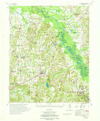 1971 Whiteville1971 Print · USGSWest Tennessee’s river-bottom country is captured here in the early seventies, centered on the Hatchie River and its vast wetlands. Genealogists can trace family names through dozens of rural landmarks like Hayes Chapel Cem, Rubens Sch, and the Western State Hospital grounds.
 - 1986 Map of Memphis East
 1986 Memphis East1986 Print · USGSWest Tennessee in the mid-eighties shows the meeting point of Memphis suburban growth and the deep bottomlands of the Hatchie River. Genealogists and historians can trace rail-town development along the Southern Railway and locate major landmarks like Ames Plantation and the U S Naval Air Station.2 unique versions available
 - 2010 Map of Mercer, 2010 Print
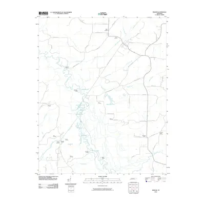 2010 Mercer2010 Print · USGSCovers Sturdivant Crossing, including Hatchie, Cloverport, and other nearby areas
 - 2013 Map of Mercer, 2013 Print
 2013 Mercer2013 Print · USGSCovers Sturdivant Crossing, including Hatchie, Cloverport, and other nearby areas
 - 2016 Map of Mercer, 2016 Print
 2016 Mercer2016 Print · USGSCovers Sturdivant Crossing, including Hatchie, Cloverport, and other nearby areas
 - 2019 Map of Mercer, 2019 Print
 2019 Mercer2019 Print · USGSCovers Sturdivant Crossing, including Hatchie, Cloverport, and other nearby areas
 - 2022 Map of Mercer, 2022 Print
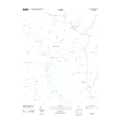
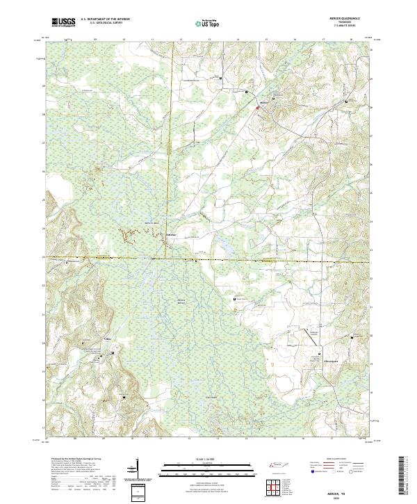 2022 Mercer2022 Print · USGSWest Tennessee's river bottoms and rural crossroads are preserved here in the early twenty-first century. Family historians can trace numerous burial grounds and settlements like Vildo, Hatchie, and the Johnson Chapel Christian Methodist Episcopal Church Cem.
End of results
Showing maps 1-10 of 10
Top cities near Sturdivant Crossing
- Jackson historical maps
- Brownsville historical maps
- Bolivar historical maps
- Whiteville historical maps
- Toone historical maps
- Hornsby historical maps
See more
Frequently asked questions
- What are the different types of historical maps available for Sturdivant Crossing?
- What is the oldest map of Sturdivant Crossing?
- Where can I purchase historical maps of Sturdivant Crossing for my home or office?
- Where can I download high-res historical maps of Sturdivant Crossing?
- Are there historical topographic maps available for Sturdivant Crossing?
- Is there historical aerial imagery available for Sturdivant Crossing?
- Where are historical maps of Sturdivant Crossing sourced from?