Old Maps of Red Row, Tennessee for Hiking & Exploration
Hike through history with 11 historic maps of Red Row. Explore old trails, ghost towns, and forgotten backroads — perfect for outdoor adventurers and local explorers.
- Rediscover forgotten places: Map out old mining camps, roads, and footpaths that no longer exist on modern maps.
- Layer with modern tools: Combine with LiDAR or satellite views to plan hikes through historical terrain.
- Made for exploration: Popular among hikers, overlanders, and local history lovers.
Use these maps to find adventure and explore the hidden past of Red Row.
Red Row, TN maps
(11)- 1901 Map of Colombia
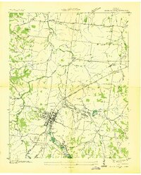
 1901 Colombia1901 Print · USGSMiddle Tennessee at the close of the century reveals a landscape shaped by river bends and a dense network of turnpikes. Genealogists can trace family roots through settlements like Santa Fe and Warner or locate landmarks such as the U.S. Arsenal and Zion Ch.3 unique versions available
 - 1936 Map of Mount Pleasant
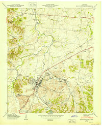
 1936 Mount Pleasant1936 Print · USGSMaury County's phosphate industry and rural settlements are caught in transition during the mid-1930s. Genealogists and historians can trace the industrial rail lines serving Phosphate Mines or locate family sites like Arlington Cem and Westbrook Ch.
 - 1946 Map of Mount Pleasant, 1987 Print
 1946 Mount Pleasant1987 Print · USGSMount Pleasant and its surrounding mining districts are captured here during a period of significant industrial expansion. Researchers can trace family-named cemeteries like Arlington Cem and Hunter Cem or explore early industrial sites like the MONSANTO CHEMICAL COMPANY works and local Strip Mines.
 - 1950 Map of Mount Pleasant
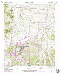
 1950 Mount Pleasant1950 Print · USGSMaury County at the peak of its mid-century phosphate mining era reveals a landscape shaped by industry and community. Trace family roots at Arlington Cem or explore established neighborhoods like Red Row and Frierson Town near the LOUISVILLE & NASHVILLE rail line.2 unique versions available
 - 1956 Map of Columbia, 1960 Print
 1956 Columbia1960 Print · USGSMiddle Tennessee in the mid-fifties presents a landscape of established river towns and critical rail hubs before the arrival of the modern interstate system. Researchers can trace the routes of the Louisville and Nashville railroad or locate historic landmarks like Stones River National Military Park and the Tennessee National Wildlife Refuge.6 unique versions available
 - 1986 Map of Hohenwald
 1986 Hohenwald1986 Print · USGSThe Western Highland Rim of Tennessee comes into focus during the mid-eighties, showing the deep river valleys and high ridges of Lewis and Perry counties. Researchers can trace the path of the Natchez Trace Parkway or locate interior settlements like Chestnut Grove, Farmers Exchange, and Hustburg.3 unique versions available
 - 2010 Map of Mount Pleasant, 2010 Print
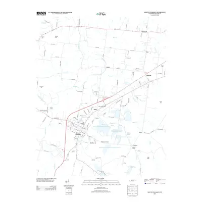
 2010 Mount Pleasant2010 Print · USGSCovers Red Row, including Columbia, Mount Pleasant, and other nearby areas
 - 2013 Map of Mount Pleasant, 2013 Print
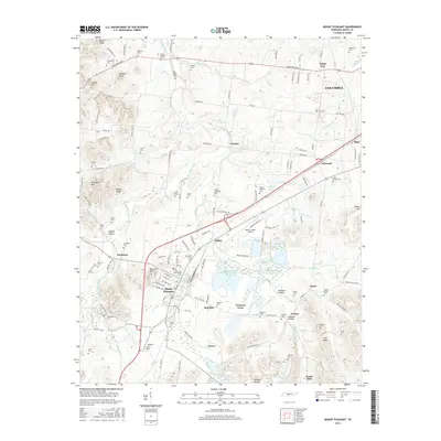
 2013 Mount Pleasant2013 Print · USGSCovers Red Row, including Columbia, Mount Pleasant, and other nearby areas
 - 2016 Map of Mount Pleasant, 2016 Print
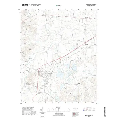
 2016 Mount Pleasant2016 Print · USGSCovers Red Row, including Columbia, Mount Pleasant, and other nearby areas
 - 2019 Map of Mount Pleasant, 2019 Print
 2019 Mount Pleasant2019 Print · USGSCovers Red Row, including Columbia, Mount Pleasant, and other nearby areas
 - 2022 Map of Mount Pleasant, 2022 Print
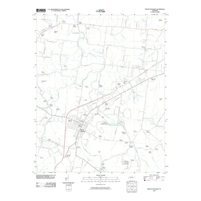
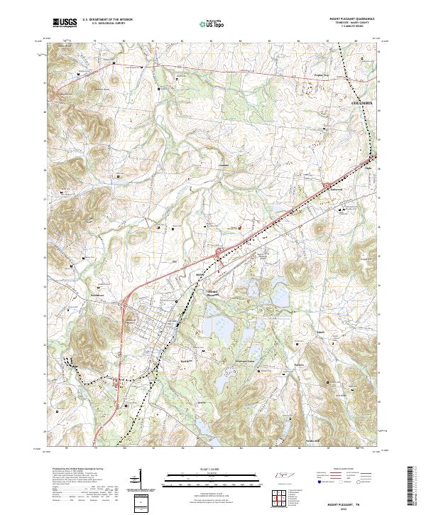 2022 Mount Pleasant2022 Print · USGSMaury County in the early twenty-first century reflects a complex landscape of industrial centers and historic family settlements. Researchers can trace the roots of communities like Needmore and Frierson Town or locate family plots at Cross Bridges Cem and Saint Johns Cem.
End of results
Showing maps 1-11 of 11
Top cities near Red Row
- Columbia historical maps
- Spring Hill historical maps
- Lawrenceburg historical maps
- Mount Pleasant historical maps
- Ethridge historical maps
- Lynnville historical maps
See more
Frequently asked questions
- What are the different types of historical maps available for Red Row?
- What is the oldest map of Red Row?
- Where can I purchase historical maps of Red Row for my home or office?
- Where can I download high-res historical maps of Red Row?
- Are there historical topographic maps available for Red Row?
- Is there historical aerial imagery available for Red Row?
- Where are historical maps of Red Row sourced from?